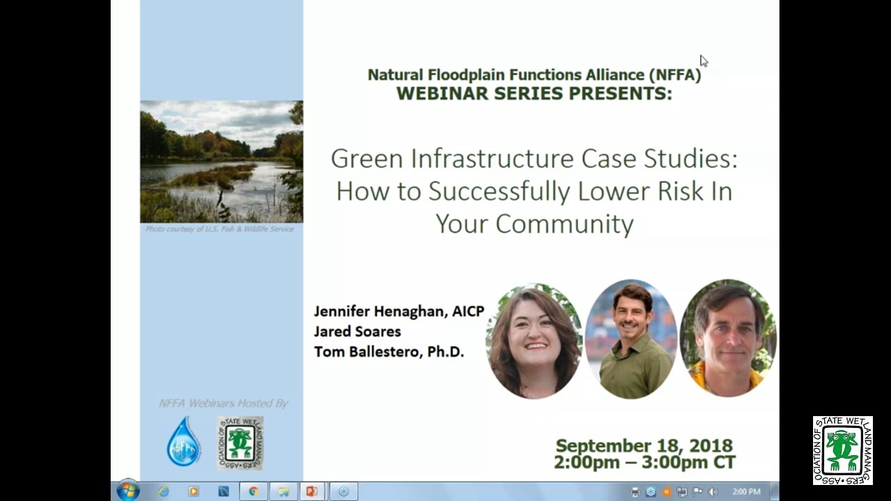
Green Infrastructure Case Studies: How to Successfully Lower Risk in Your Community
Held Tuesday, September 18, 2018 - 3:00 p.m. ET
HOST
Association of State Floodplain Managers
This presentation began with a federal updates by Maria Honeycutt, Ph.D., CFM, Coastal Hazards Specialist at NOAA and Jeanne Christie, Senior Policy Advisor at the Association of State Wetland Managers, followed by a brief Q&A period. This was followed by the updates with our featured webinar presentation entitled “Green Infrastructure Case Studies: How to Successfully Lower Risk in Your Community.” Speakers included: Jennifer Henaghan, AICP, Deputy Research Director and Manager of the Green Communities Center at the American Planning Association; Dr. Tom Ballestero, Associate Professor of Civil and Environmental Engineering at the University of New Hampshire (UNH) and Director of the UNH Stormwater Center; and Jared Soares, Research Analyst at Earth Economics. More information about the presentation can be found below.
PRESENTERS
- Jennifer Henaghan, AICP, , Deputy Research Director and Manager of the Green Communities Center at the American Planning Association
- Dr. Tom Ballestero, Associate Professor of Civil and Environmental Engineering, University of New Hampshire (UNH) and Director of the UNH Stormwater Center
- Jared Soares, Research Analyst, Earth Economics
ABSTRACT
During this webinar, our presenters broke down the anatomy of green infrastructure projects from the design process to cost-benefit analysis to community partnerships. Participants learned about green infrastructure projects for watershed restoration, stream restoration, and integration of stormwater green infrastructure into parks and park systems. The presentation also included a report on the highlights from the September U.S. Army Corps of Engineers Silver Jackets national support team meeting including brief overviews of Federal agency green infrastructure programs.
Please click only once on each video recording to view in this window.
![]()
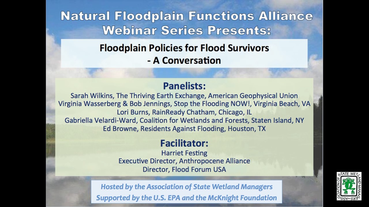
Floodplain Policies for Flood Survivors - A Conversation
Held Tuesday, July 10, 2018 - 3:00 p.m. ET
INTRODUCTION
- Marla Stelk, Policy Analyst, Association of State Wetland Managers [PRESENTATION PDF]
FACILITATOR
- Harriet Festing, Executive Director of Anthropocene Alliance and Director of Flood Forum [PRESENTATION PDF]
PRESENTER
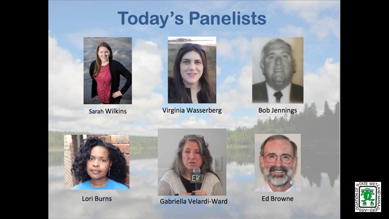
- Sarah Wilkins, Thriving Earth Exchange, American Geophysical Union
- Virginia Wasserberg, Stop the Flooding NOW!, Virginia Beach, VA
- Bob Jennings, Stop the Flooding Now, Virginia Beach, VA
- Lori Burns, RainReady Chatham, Chicago, IL
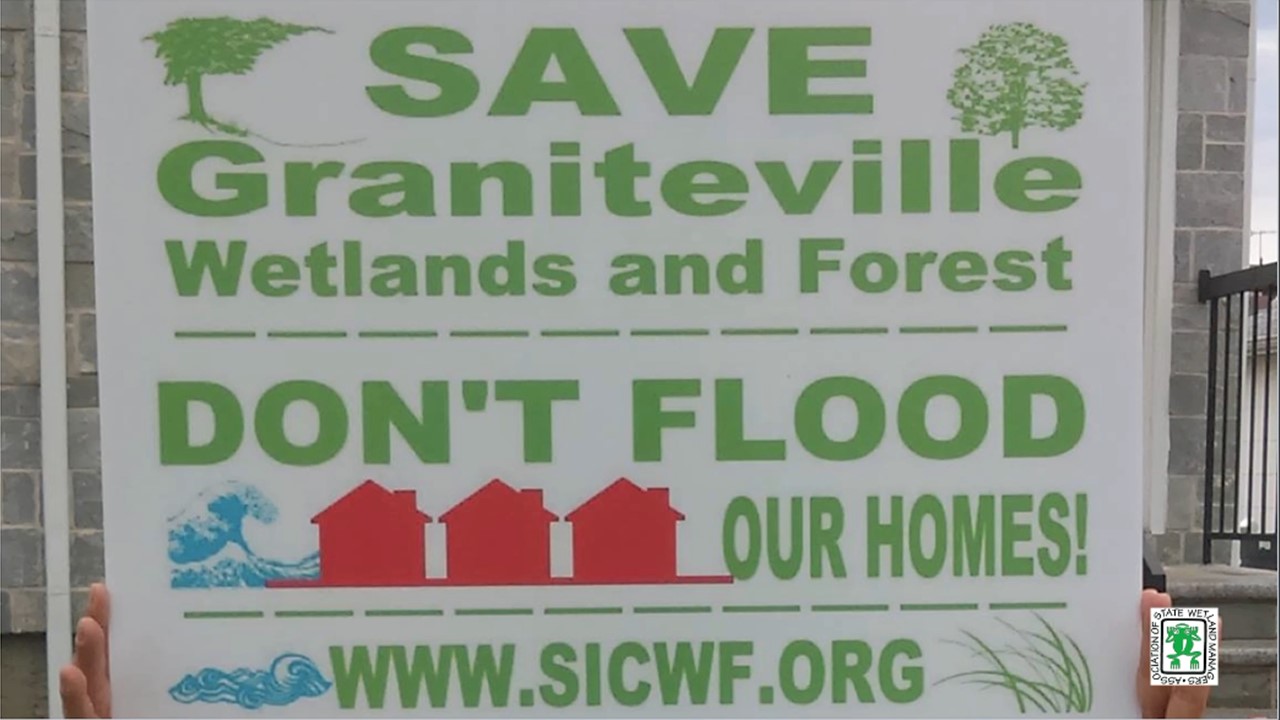
- Gabriella Velardi-Ward, Coalition for Wetlands and Forests, Staten Island, NY
- Ed Browne, Residents Against Flooding, Houston, TX
ABSTRACT
Recent research indicates that by 2050 more than 60 million may be vulnerable to “1-in-100-year” floods. Flood Forum USA is building a national, grassroots movement of communities affected by flooding. We are currently working with 25 flood advocacy group leaders from a dozen states, representing approximately 25,000 residents. Through our partnership with the American Geophysical Union, we have matched many of the groups with expert scientists from academia and federal agencies who are now working alongside them.
This webinar convenes flood group leaders to prompt a discussion on the state and national policies that flood survivors should be advocating for.
Please click only once on each video recording to view in this window.
Wetlands by Design: A watershed approach for Wisconsin
Held Tuesday, May 15, 2018 - 3:00 p.m. - 4:30 p.m. EST
INTRODUCTION
- Marla Stelk, Policy Analyst, Association of State Wetland Managers [PRESENTATION PDF]
PRESENTERS
- Tom Bernthal, Wisconsin Department of Natural Resources [PRESENTATION PDF]
- Nick Miller, The Nature Conservancy [PRESENTATION PDF]
ABSTRACT
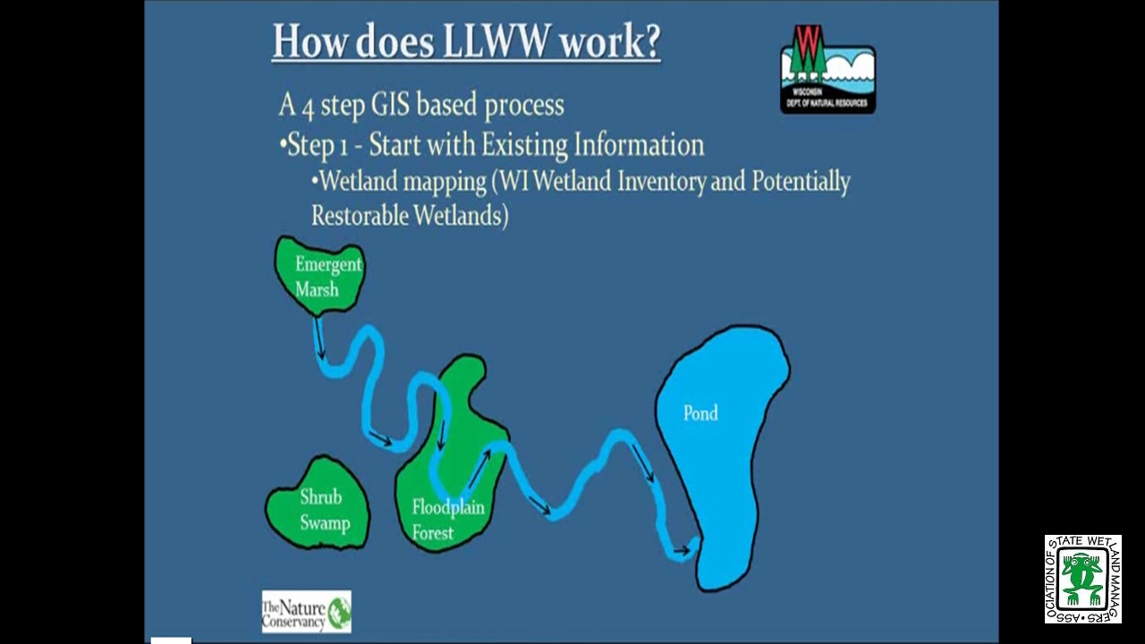
Wisconsin Department of Natural Resources and The Nature Conservancy created a decision support tool that ranks wetland preservation and restoration opportunities for all of Wisconsin’s watersheds based on potential to abate floods, purify water, protect shorelines, maintain streamflow, store carbon, and provide habitat. Wetlands by Design provides a Level 1 GIS analysis, was field validated in the Milwaukee River Basin, and aims to support many users with diverse goals (regulatory/mitigation programs, outdoor enthusiasts, municipalities working to abate floods, etc.). We discussed context and approach, show online mapping tool results, and look forward to a great conversation and feedback.
Please click only once on each video recording to view in this window.
Green Infrastructure Resources for Coastal Flood Risk Management
Held Tuesday, March 6, 2018 - 3:00 p.m. - 4:30 p.m. EST
HOST
Association of State Floodplain Managers
FEDERAL UPDATE
- Larry Larson, Association of State Floodplain Managers
- Jeanne Christie, Association of State Wetland Managers
PRESENTERS [PRESENTATION PDF]
- Maria Honeycutt, Ph.D., NOAA’s Office for Coastal Management
- Lauren Long, The Baldwin Group, NOAA’s Office of Coastal Management
- Tashya Allen, The Baldwin Group, NOAA’s Office of Coastal Management
ABSTRACT
Green infrastructure is gaining popularity as a strategy for protecting communities from coastal hazards, including coastal flooding and erosion. NOAA has developed a suite of products to help coastal managers and planners consider natural approaches to reduce coastal flooding associated with storms and sea level rise and protect coastal ecosystems.
During this webinar, participants learned about resources to help visualize their exposure to coastal flood hazards, explore green infrastructure techniques to reduce impacts, and identify open space to gain credit through FEMA’s Community Rating System. Participants also learned how their peers have tackled coastal flooding challenges using green infrastructure.
Please click only once on each video recording to view in this window.
INTRODUCTION
- Marla Stelk, Policy Analyst, Association of State Wetland Managers [PRESENTATION PDF]
PRESENTER
- Jennifer Pitt, Audubon [PRESENTATION PDF]
ABSTRACT
The Colorado River Delta has long been desiccated, due to over-allocation of water supplies and persistent drought. In a series of recent agreements, the United States and Mexico have begun a collaborative effort with non-governmental organizations to restore water to this ecosystem for the purpose of re-creating riparian and estuarine habitat, in the context of agreements that improve the two countries’ ability to manage a diminishing water supply.
Please click only once on each video recording to view in this window.
View Past Natural Floodplain Functions Alliance Webinars
PDF List of Past Natural Floodplain Functions Alliance Webinar Recordings

