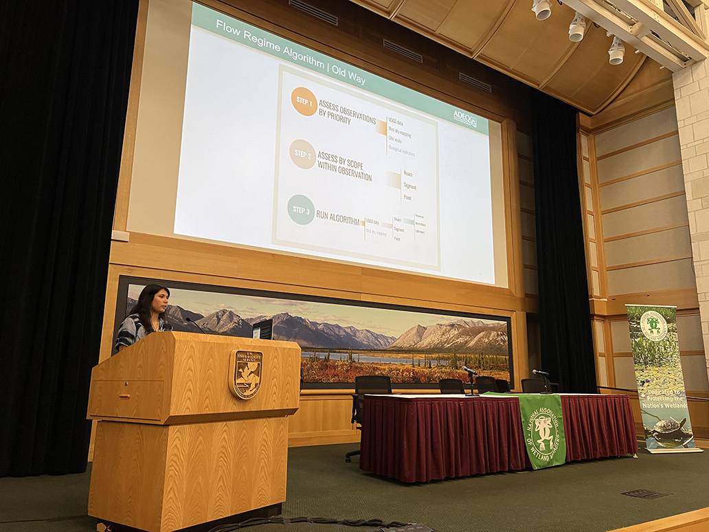
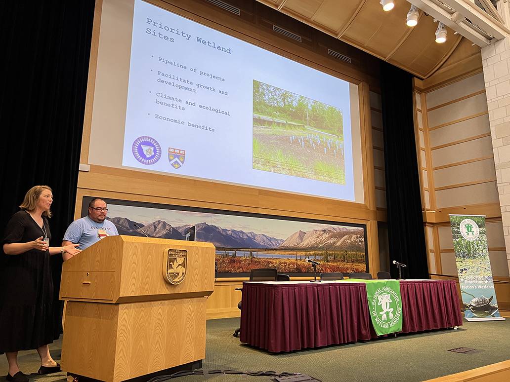
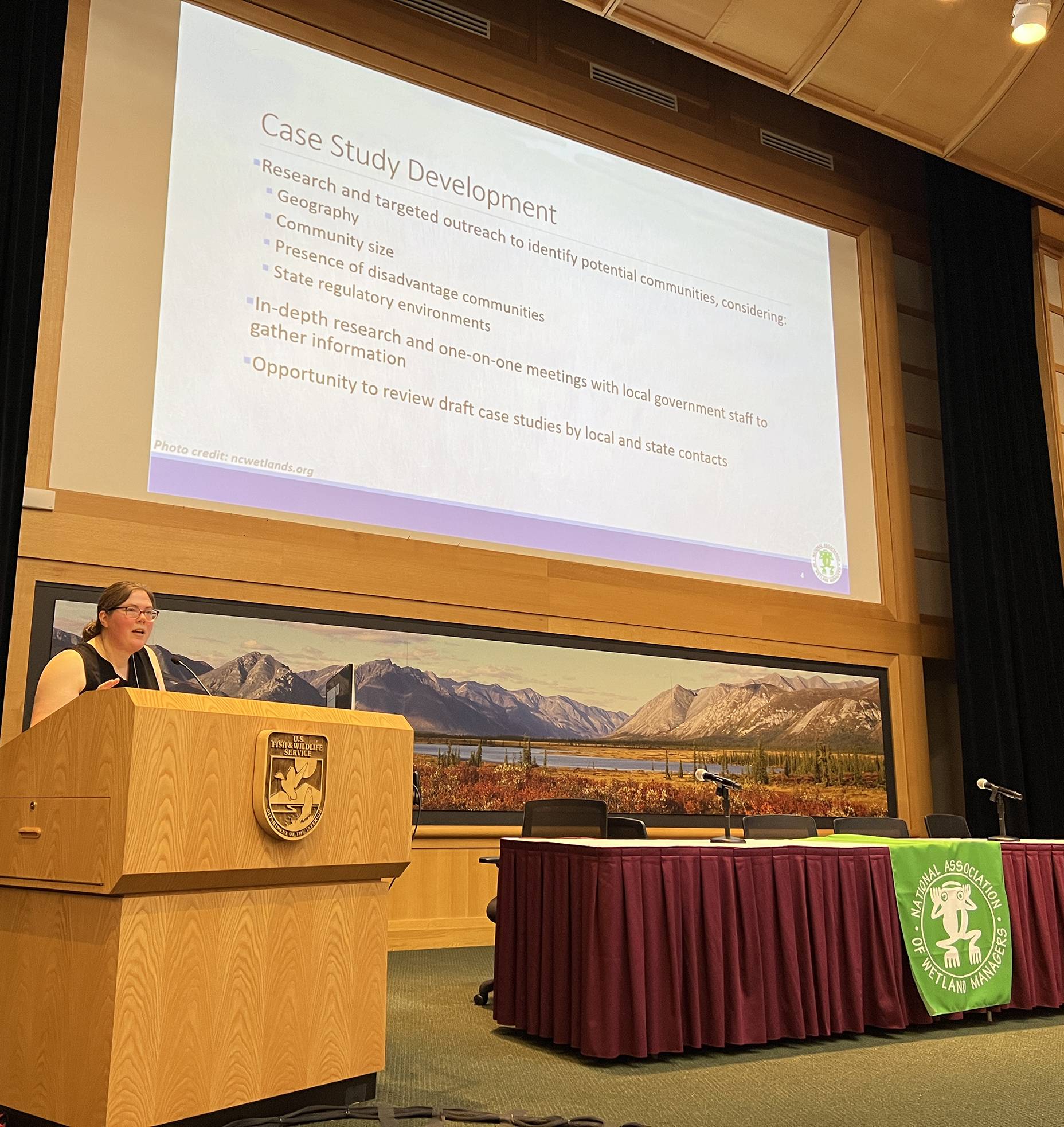
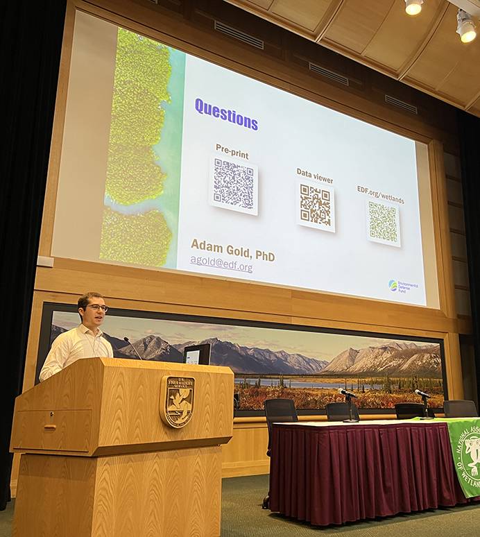
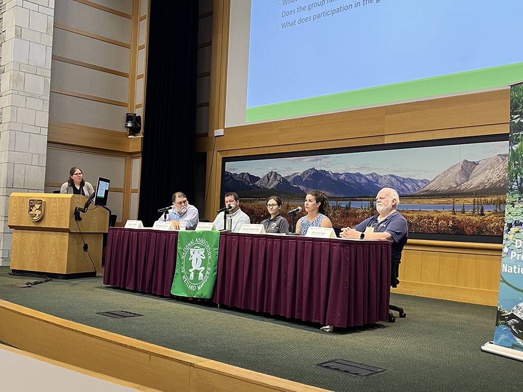
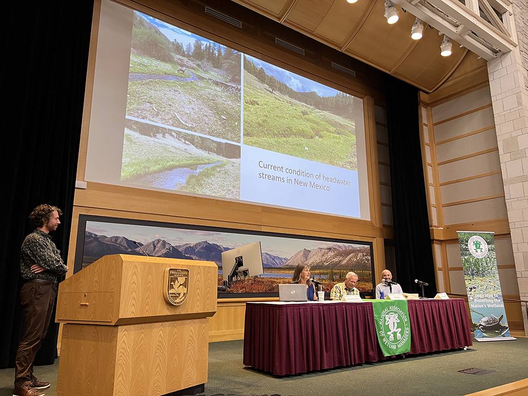
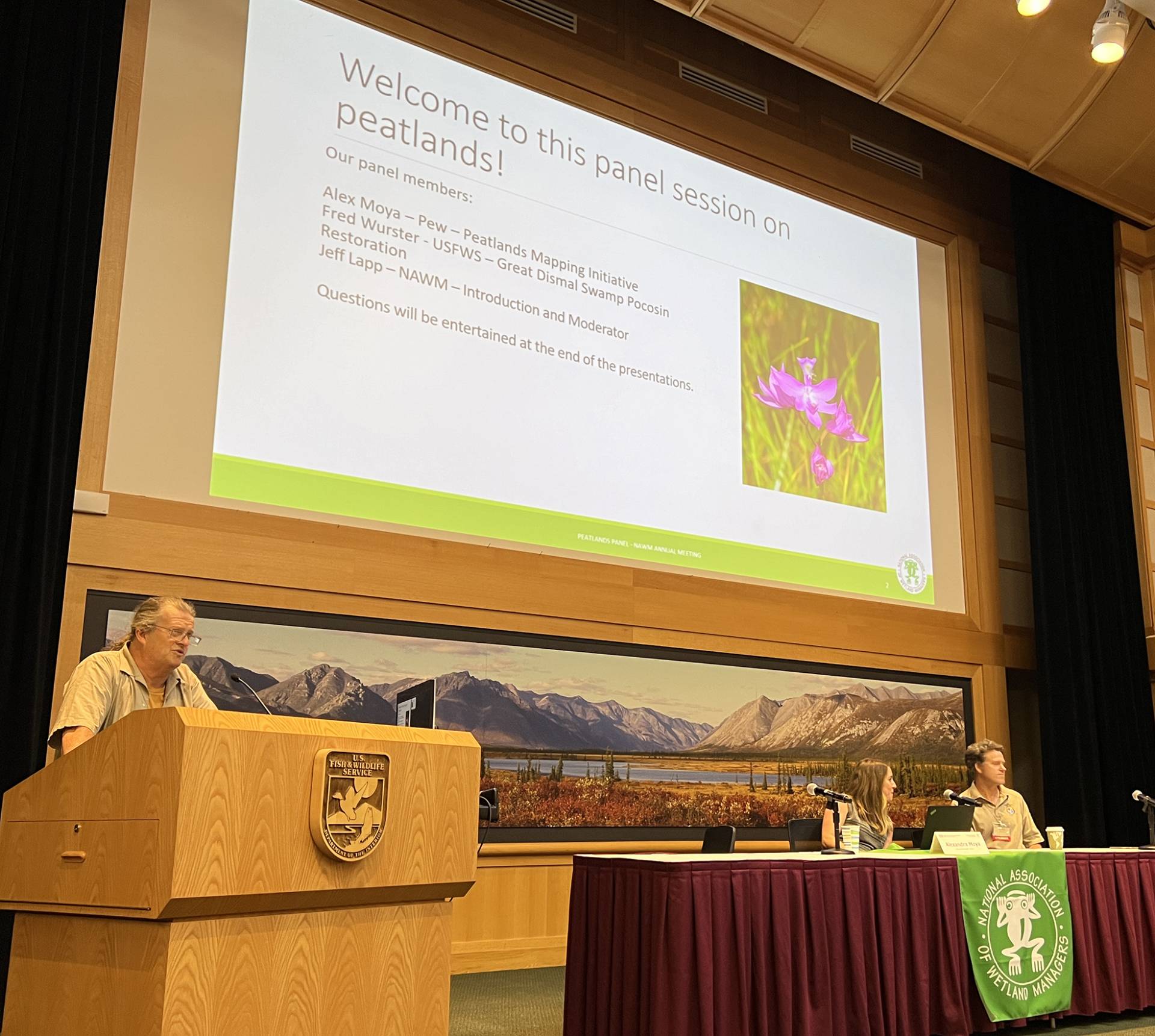
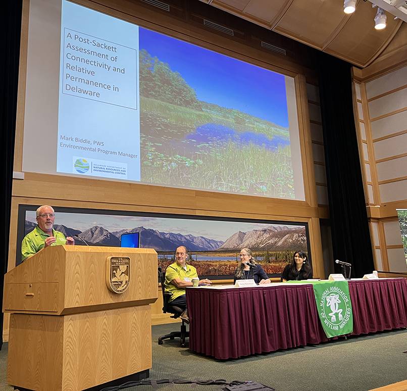
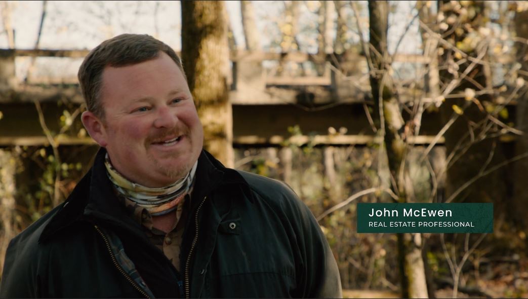
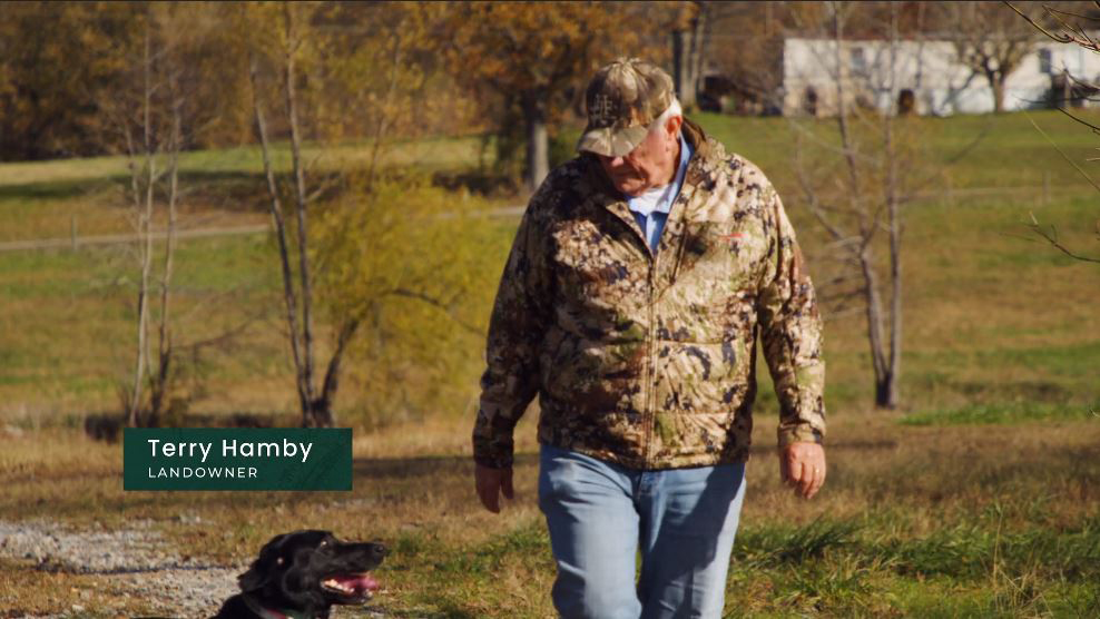
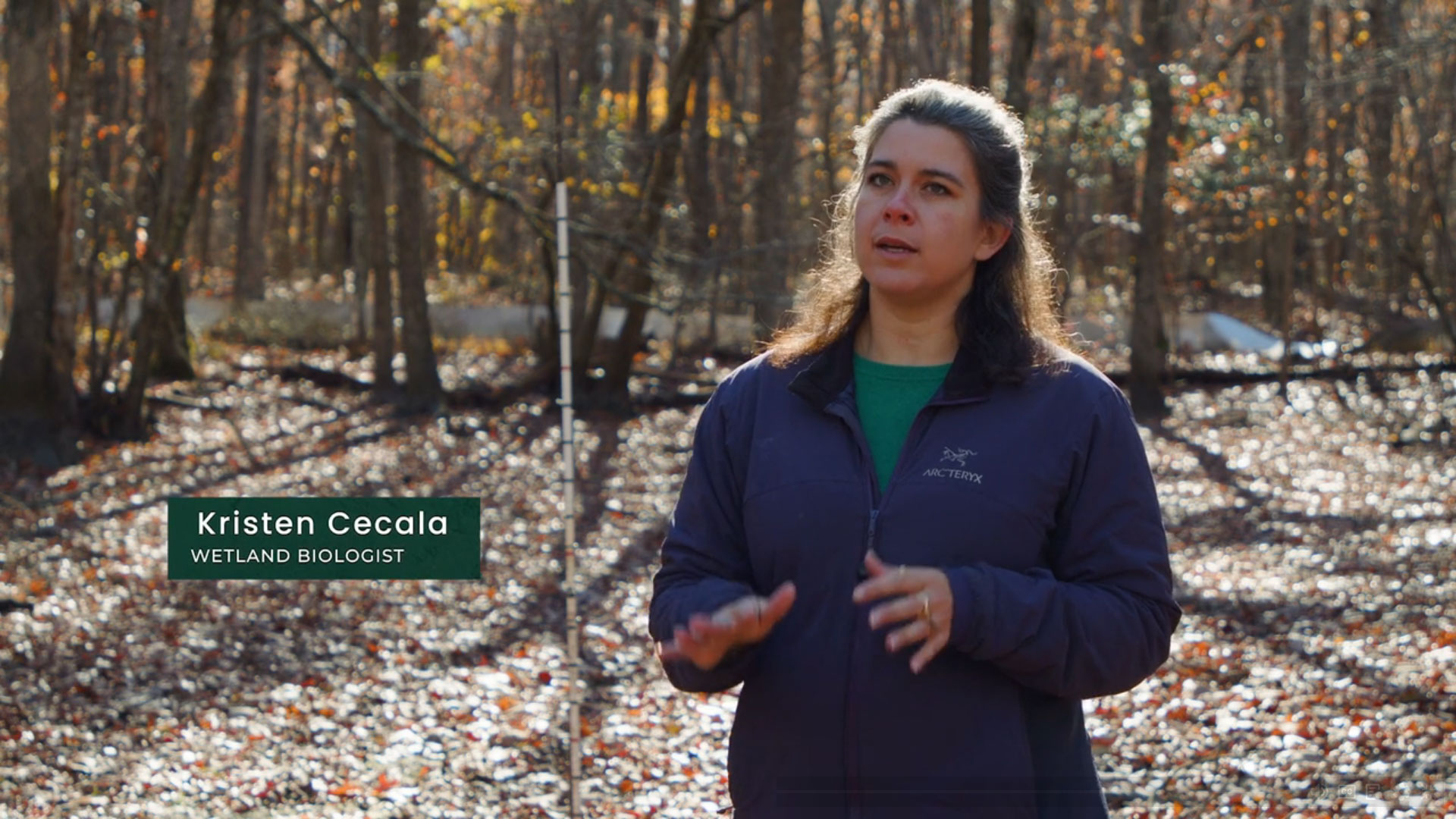
PRESENTERS
NAWM
The National Association of Wetland Managers is a nonprofit membership organization established in 1983 to promote and enhance protection and management of wetland resources, to promote application of sound science to wetland management efforts and to provide training and education for our members and the public. Membership is open to anyone who is involved with wetland resources.

Return to Main Meeting Information
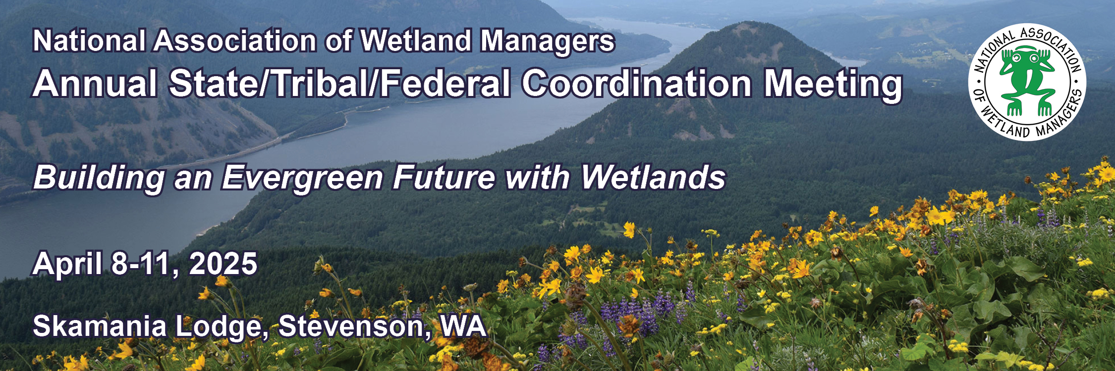
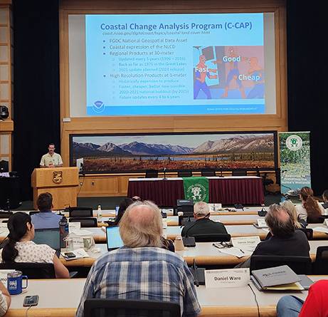
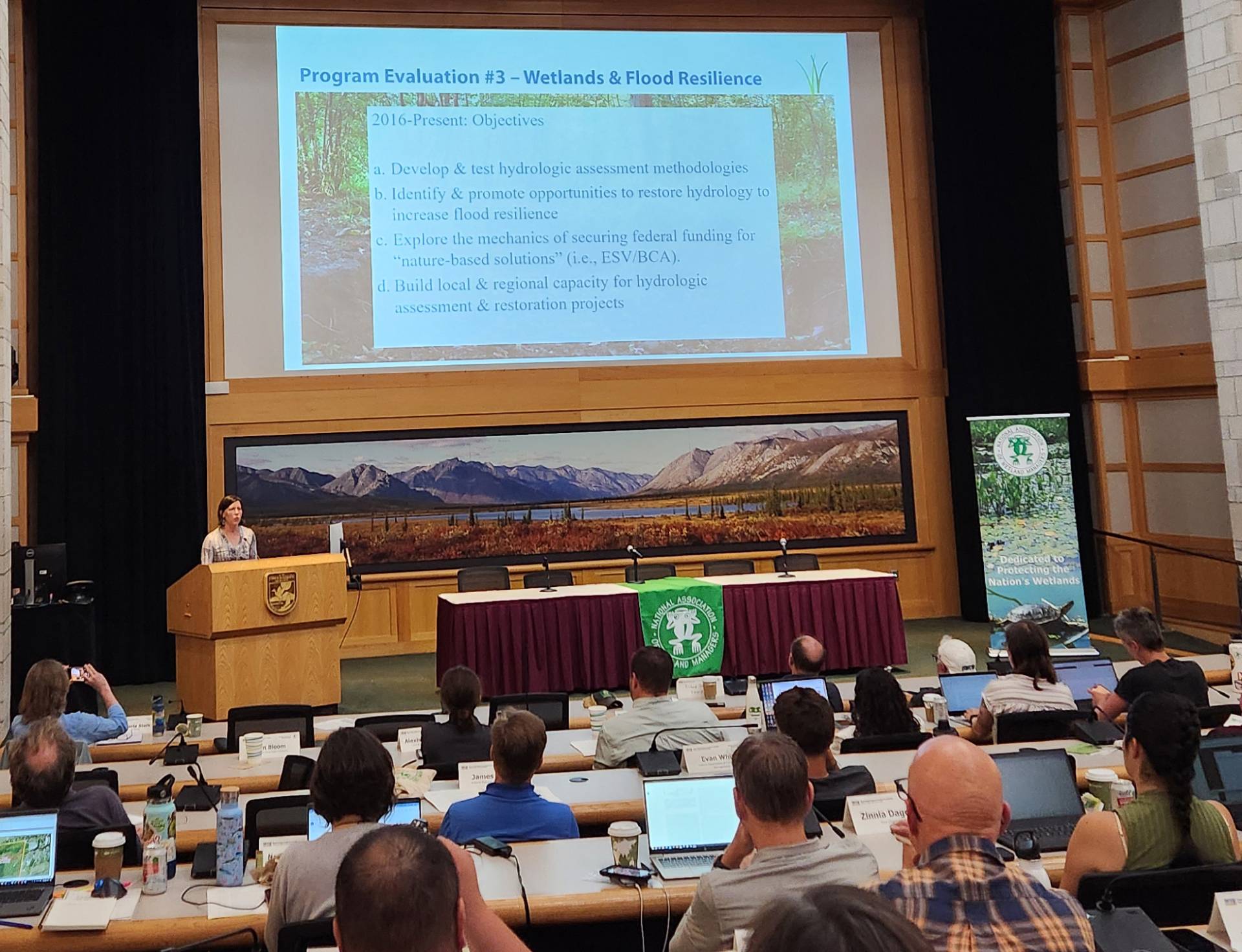
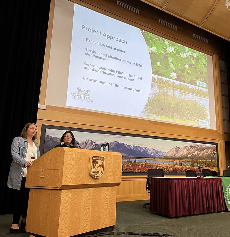
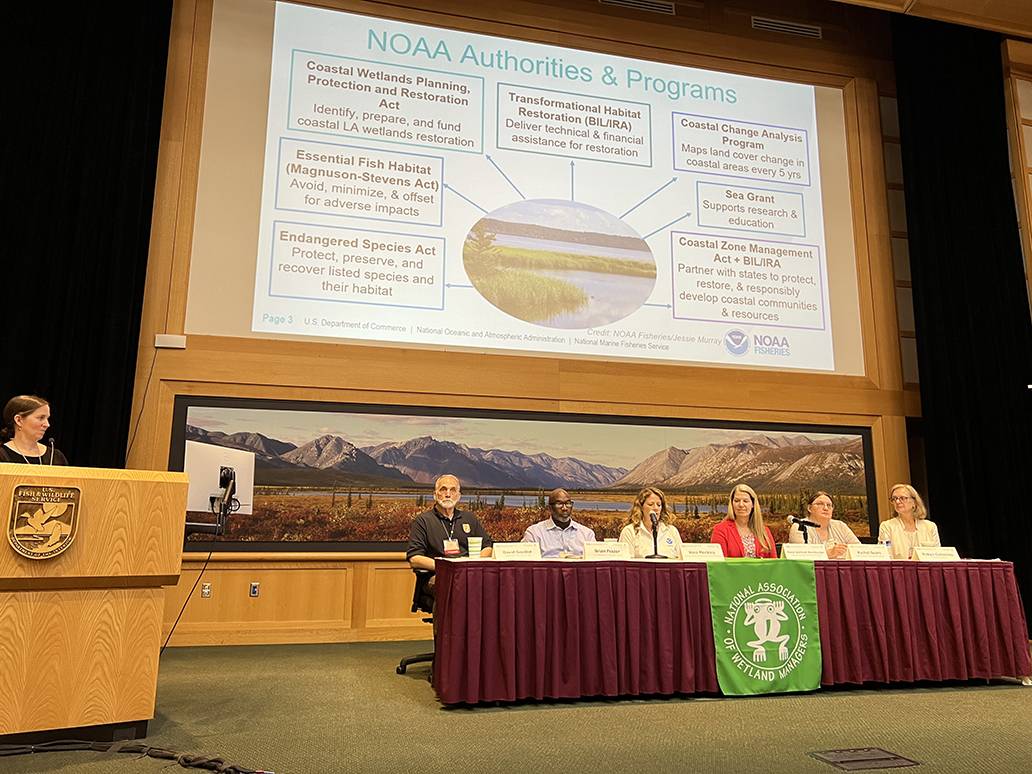
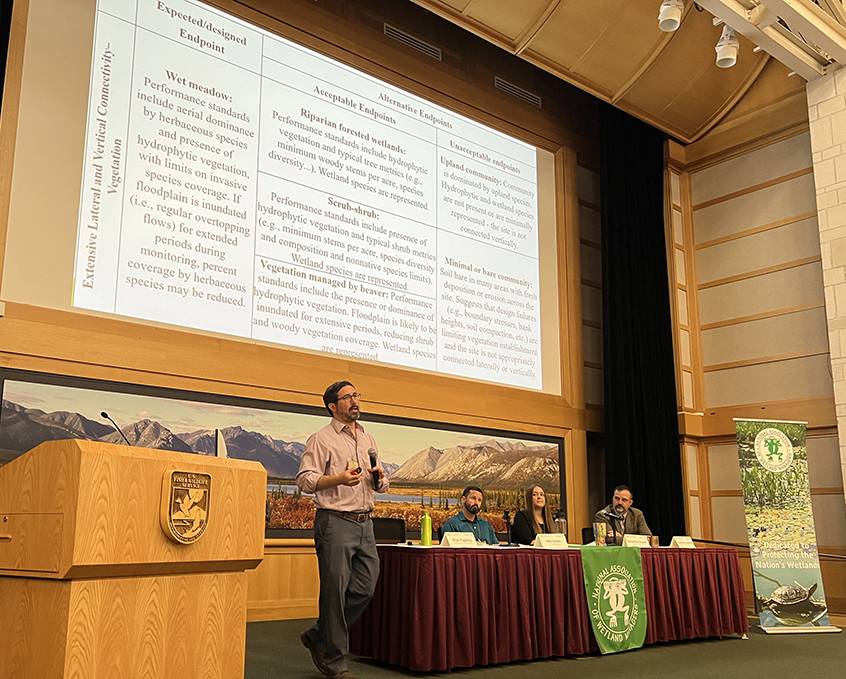
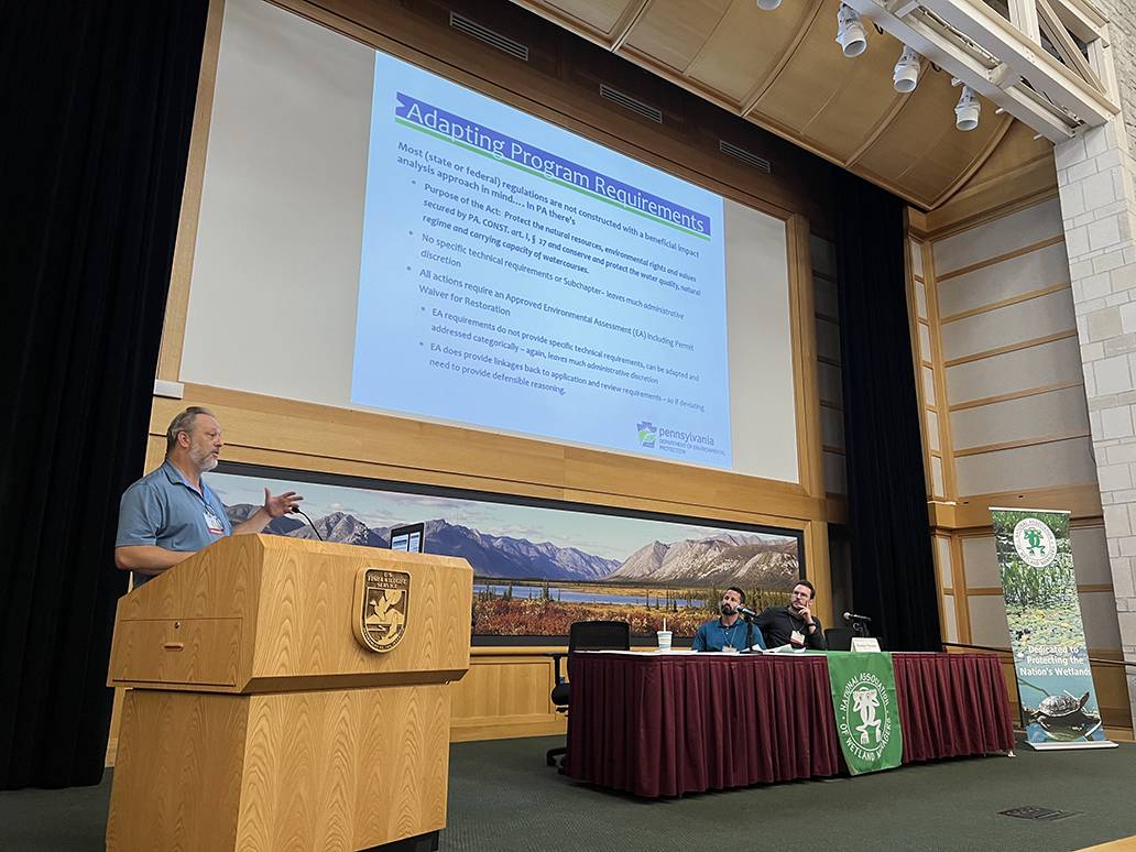
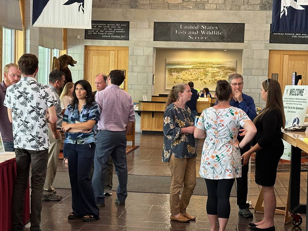
NAWM’s Annual State/Tribal/Federal Coordination (STFC) Meeting, was being held at the Skamania Lodge in Stevenson, WA on April 8-10, 2025 with field trips on Friday, April 11.
The theme for this meeting was Building an Evergreen Future with Wetlands and had a particular focus on cross-boundary issues, restoration, mitigation, adaptation, geospatial approaches, and more. The purpose of this annual meeting was to support state and Tribal wetland program managers, and other wetland professionals as they respond to challenges in the coming year.
|
|
Welcome to Our Meeting Sponsors
|
|||||||||||||||||
Wetlands: Changing the Narrative Campaign
A multi-year, multi-media campaign to share stories about why wetlands are important through the voices of everyday Americans.
|
In Wetlands: Changing the Narrative, we’re shining a light on the people who are reshaping our Stories like these in Tennessee contain powerful messages that speak to the values of those who call |
||
| Please click only once on each video recording to view in the window. |
|
How To Help 1) Please donate today to help support this powerful initiative. |
||
The Team
Some of the creative partners NAWM has engaged so far include:
 Wide Awake Films (Kansas City, MO): For more than 20 years the team at Wide Awake has produced award winning films for television, museums, streaming, and commercial clients. Their clients run the gamut, including PBS, John Deere, The National Park Service, and the Congressional Medal of Honor Society.
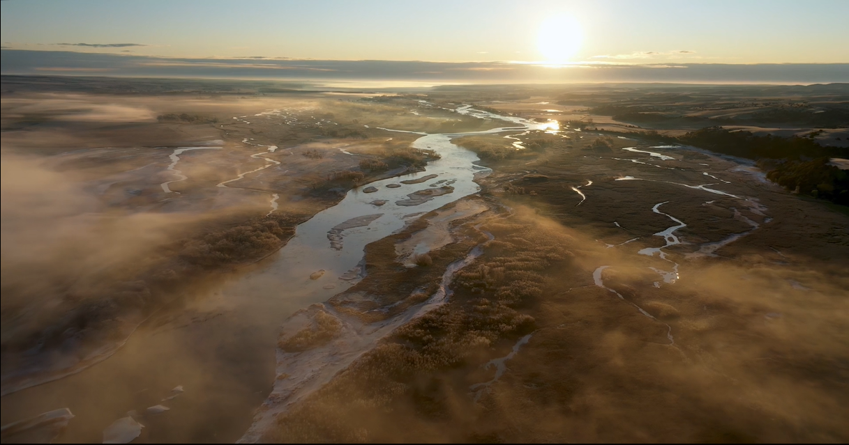
 Platte Basin Timelapse (Lincoln, Nebraska): Since 2011 PBT has used film and multimedia to bring the stories of our nation’s waterways to a wider audience. Known for their timelapse nature photography and keen understanding of river systems and watersheds, PBT stands ready to lend their expertise to whichever watery habitat we choose to film.

 This Year's Keynote Speaker
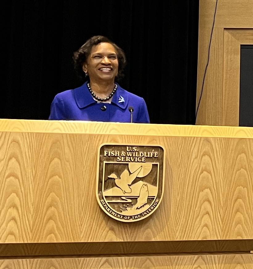
Brenda Mallory, Chair of the White House Council on Environmental Quality
Brenda Mallory is the 12th Chair of the White House Council on Environmental Quality and the first African American to serve in this position. As Chair, she advises the President on environmental and natural resources policies that improve, preserve, and protect public health and the environment for America’s communities. She is focused particularly on addressing the environmental justice and climate challenges the nation faces while advancing opportunities for job growth and economic development. Chair Mallory has decades of experience in both the private and public sector, including spending nearly 20 years at the Environmental Protection Agency and CEQ, serving in a number of senior roles. In Chair Mallory’s first stint at CEQ as the General Counsel, she helped shape many of President Obama’s signature environmental and natural resource policy successes.
Now, as Chair, she is advancing President Biden’s ambitious climate and environmental justice agenda. Chair Mallory was the first in her family to attend college, graduating from Yale with a double major in history and sociology and then from Columbia Law School as a Harlan Fiske Stone Scholar.
Read Brenda Mallory's full bio here.

MEETING MATERIALS
|
Agenda with Presentations - (Updated 7/10/24) Speakers, if you would like to send links for materials, webpages, etc. (describing your work) to share with other meeting participants, please email them to Sharon at sharon@nawm.org. NAWM Publications NAWM Resources
|
THANK YOU TO OUR SPONSORS:
|
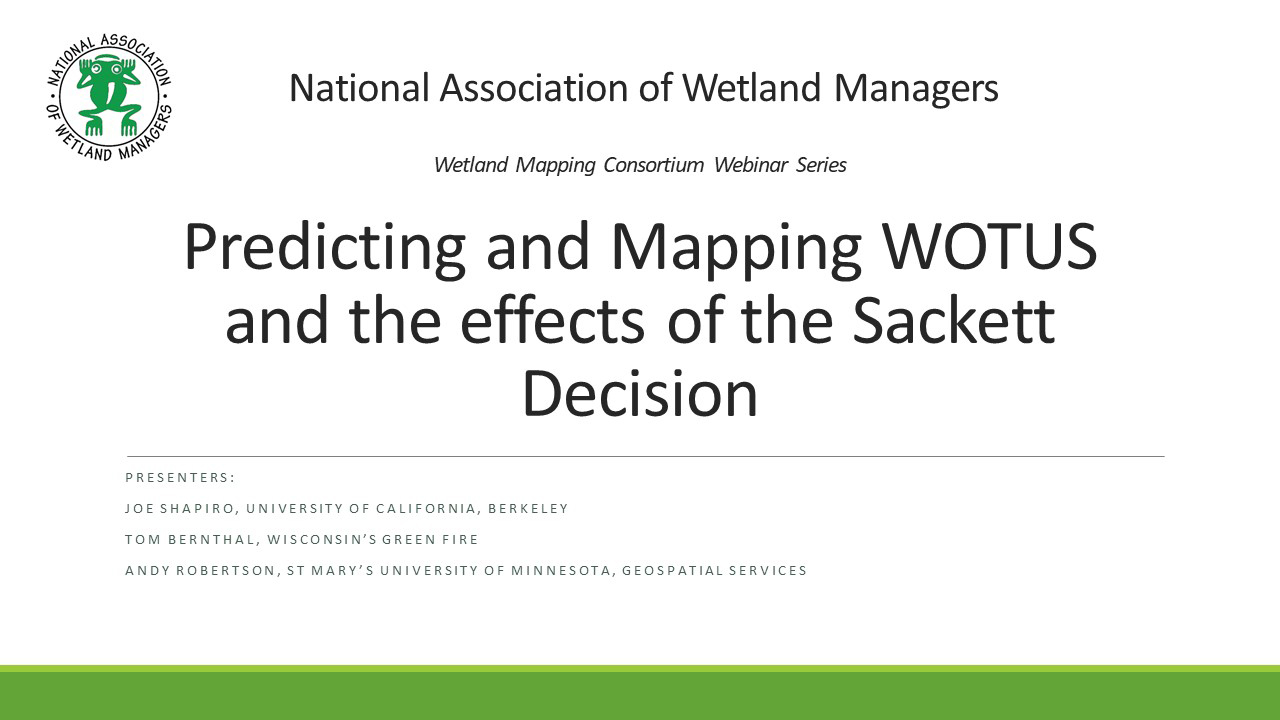
Predicting and Mapping the effects of the Sackett Decision
Held Tuesday, March 19, 2024 - 3:00 p.m.-4:30 p.m. ET
The 2023 Supreme Court decision in Sackett v. EPA is the most recent change to the scope of the Clean Water Act through its shrinking of federal jurisdiction over streams and wetlands. In the decision's wake, several states, organizations, and researchers have been developing predictive geospatial tools to map future possibilities for the extent of "Waters of the United States". This webinar featured presentations of ongoing prediction efforts in two states, Wisconsin and New Mexico, as well as a recently published national model to support future policy and regulatory frameworks.
INTRODUCTION
- Ian Grosfelt, National Association of Wetland Managers [PRESENTATION PDF]
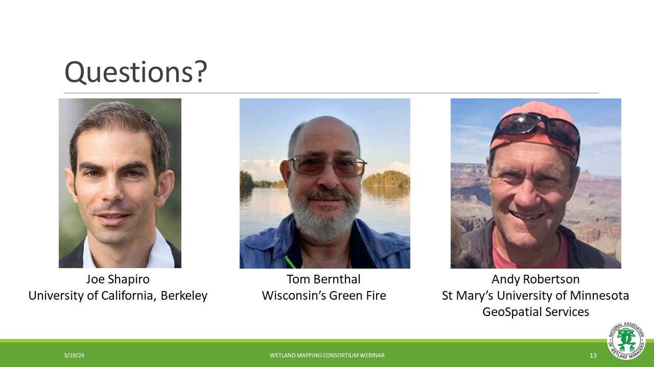
PRESENTERS
- Joe Shapiro, University of California, Berkeley [PRESENTATION PDF]
- Tom Bernthal, Wisconsin's Green Fire [PRESENTATION PDF]
- Andy Robertson, GeoSpatial Services at Saint Mary’s University of Minnesota [PRESENTATION PDF]
ABSTRACTS
Joe Shapiro, University of California, Berkeley
We assess which waters the Clean Water Act protects and how Supreme Court and White House rules change this regulation. We train a deep learning model using aerial imagery and geophysical data to predict 150,000 jurisdictional determinations from the Army Corps of Engineers, each deciding regulation for one water resource. Under a 2006 Supreme Court ruling, the Clean Water Act protects two-thirds of US streams and more than half of wetlands; under a 2020 White House rule, it protects less than half of streams and a fourth of wetlands, implying deregulation of 690,000 stream miles, 35 million wetland acres, and 30% of waters around drinking-water sources. Our framework can support permitting, policy design, and use of machine learning in regulatory implementation problems.
Andy Robertson, GeoSpatial Services at Saint Mary’s University of Minnesota
New Mexico, one of the largest semi-arid states in the US is highly dependent on surface hydrology. From drinking water and cultural ceremonies to acequia farming and outdoor recreation, clean water supports all aspects of life in New Mexico. Water is a precious resource everywhere, but its importance is magnified in New Mexico’s arid climate.
The 2023 Supreme Court in Sackett v. EPA has the potential to remove federal Clean Water Act protections for many New Mexico waters. This presentation discussed efforts to quantify this potentially catastrophic impact and highlight the practical and political uncertainties which make such analyses challenging.
BIOS
 Joseph S. Shapiro is Associate Professor at the University of California, Berkeley, in Agricultural & Resource Economics and the Department of Economics. He also serves as Associate Editor of the Journal of Political Economy, Co-Editor of the Journal of Public Economics, Research Associate at the National Bureau of Economic Research, and Research Associate at the Energy Institute at Haas. His research agenda focuses on three general questions: (1) How do globalization and the environment interact? (2) What have been the effectiveness, efficiency, and equity impacts of environmental and energy policies over the last half century, particularly for water, air, and climate pollution? (3) How important are the investments that people make to protect themselves against air pollution and climate change? Shapiro has received an Alfred P. Sloan Research Fellowship, Kiel Institute Excellence in Global Affairs Award, and Marshall Scholarship. Shapiro holds a Ph.D. in economics from MIT, Masters degrees from Oxford and LSE, and a BA from Stanford.
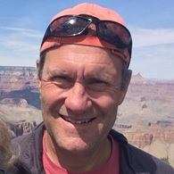 Andy Robertson is currently Executive Director of GeoSpatial Services at Saint Mary’s University of Minnesota. In this role, Andy is responsible for oversight and management of all GeoSpatial Services projects, activities and staff. GeoSpatial Services is engaged in a wide variety of projects across the Lower 48 and Alaska including: wetland inventory; National Hydrography Dataset updates; spatial data development; and natural resource condition assessments. GeoSpatial Services has been a key partner of the USFWS and has been working for over 18 years to update legacy National Wetland Inventory data across the nation. Andy is a steering committee member for the NAWM Wetland Mapping Consortium, a NAWM Board Member and is past-chair of the Alaska GeoSpatial Council Wetland Technical Working Group.
Please click only once on each video recording to view in this window.
![]()
View Past Wetland Mapping Consortium Webinars
PDF List of Past Wetland Mapping Consortium Webinar Recordings
View Upcoming Wetland Mapping Consortium Webinars

Thank you to our Generous Sponsors!
Egret Sponsors
To address the effects of a changing climate, The Pew Charitable Trusts considers multiple policy areas to help lawmakers safeguard their constituents and communities. Pew experts produce research, identify best practices, work alongside state and local leaders to create resilience plans and policies, safeguard habitats that help slow climate change, and target resources to vulnerable communities.
The Federal Highway Administration (FHWA) is an agency within the U.S. Department of Transportation that supports State and local governments in the design, construction, and maintenance of the Nation’s highway system (Federal Aid Highway Program) and various federally and tribal owned lands (Federal Lands Highway Program). Through financial and technical assistance to State and local governments, the Federal Highway Administration is responsible for ensuring that America’s roads and highways continue to be among the safest and most technologically sound in the world.
Meristem, a collaboration, an extension of your team, your vision, your project. We specialize in wetlands, native plants, permitting, mitigation banking, endangered species, hard work, and consistent communication.
Kingfisher Sponsors
 Cattails Environmental provides quality and timely environmental consulting services related to the Clean Water Act, National Environmental Policy Act and Endangered Species Act, and works primarily in Arkansas, Oklahoma, Missouri, and Kansas with occasional forays into surrounding states. Cattails Environmental provides quality and timely environmental consulting services related to the Clean Water Act, National Environmental Policy Act and Endangered Species Act, and works primarily in Arkansas, Oklahoma, Missouri, and Kansas with occasional forays into surrounding states. |
||
 Ducks Unlimited conserves, restores, and manages wetlands and associated habitats for North America's waterfowl. These habitats also benefit other wildlife and people. To date, DU has conserved more than 18 million acres. Ducks Unlimited conserves, restores, and manages wetlands and associated habitats for North America's waterfowl. These habitats also benefit other wildlife and people. To date, DU has conserved more than 18 million acres. |
||
 Ecobot is a comprehensive digital solution for wetland and stream assessments. With customized regional workflows and GIS integrations, plus built-in resources and automations like soil suggestions, Ecobot simplifies fieldwork through QA and report generation. Create your free account today. Ecobot is a comprehensive digital solution for wetland and stream assessments. With customized regional workflows and GIS integrations, plus built-in resources and automations like soil suggestions, Ecobot simplifies fieldwork through QA and report generation. Create your free account today. |
||
 Ecosystem Investment Partners specializes in large-scale environmental restoration projects across the country, including more than 40,000 wetland acres as of September 2023. These restoration projects span 14 states and 15 Corps of Engineers districts—from South Florida to Alaska's North Slope. Ecosystem Investment Partners specializes in large-scale environmental restoration projects across the country, including more than 40,000 wetland acres as of September 2023. These restoration projects span 14 states and 15 Corps of Engineers districts—from South Florida to Alaska's North Slope. |
||
| |
If you would like to become a Sponsor of our Annual Meeting, please see information here.
Return to main meeting webpage.
Existing EPA CWA Resources/Trainings
Overview/General
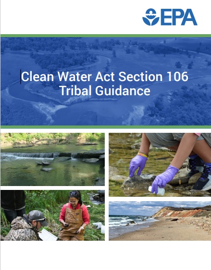 - Clean Water Act Section 106 Tribal Guidance – includes chapters on grant requirements, program development, monitoring program development/implementation (including summary table [Table 6] of common parameters), programmatic reporting requirements (including a summary table [Table 10] of reporting deliverables), program expansions - additional activities & regulatory authorities, and other funding options.
- Watershed Academy – a variety of online learning modules (see especially the water law section) and webcast recordings.
- 2023 WOTUS rule revision webinars/trainings – video recordings and pdfs of presentation slides
Regulatory & Non-Regulatory Approaches (including Water Quality Standards):
- Handbook for Developing and Managing Tribal Nonpoint Source Pollution Programs Under Section 319 of the Clean Water Act – a practical and accessible guide for tribes that covers how to develop a nonpoint source assessment report and management program, activities eligible for funding under CWA section 319, and successfully implementing a watershed-scale restoration project.
- NPS Program Sample Training Curriculum for Tribal Staff – “a list of tasks and training resources available to ensure you quickly become versed in the requirements and duties of a Nonpoint Source team member.”
- 2023 Tribal Nonpoint Source Webinar Training Series – a six-part series, each recording is approximately 90 minutes.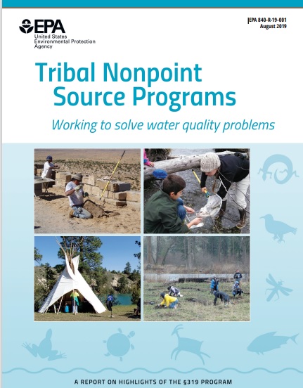
- Tribal Nonpoint Source Programs: Working to solve water quality problems – a report highlighting several examples of tribal nonpoint source pollution control work conducted under CWA section 319
- Water Quality Standards Handbook – a compilation of EPA’s guidance on WQS for states, tribes, and territories to use in developing and implementing water quality standards (WQS)
- TAS for the Water Quality Standards Program: Frequently Asked Questions provides answers to questions regarding the TAS for WQS application process, and TAS for the Water Quality Standards Program: Procedural Steps for Tribal TAS Applications resource outlines the steps for tribal TAS applications. A TAS Application Template for Water Quality Standards and Water Quality Certifications is available to help Tribes apply to EPA for TAS for these programs.
- EPA’s Model WQS Template for Waters on Indian Reservations can serve as a foundation for Tribes seeking to develop their own WQS. This template provides basic language covering the primary elements of WQS that a Tribe can adopt directly, while allowing a Tribe to add or modify language to align with their own water quality goals. EPA’s Tribal/State Human Health Criteria Calculator generates a customized numeric human health criteria table.
- Wetland Water Quality Standards provides an overview and information on developing and using WQS for wetlands. EPA’s Templates for Developing Wetland Water Quality Standards can be used for developing these standards.
- Key information on EPA’s Final Rule - Treatment of Indian Tribes in a Similar Manner as States for Purposes of Section 303(d) website includes factsheet, FAQ, and application template
Monitoring and Assessment (including data management):
- For compiling WQ assessments: Consolidated Assessment and Listing Methodology and the Tribal Assessment Modules on EPA’s Ambient Water Monitoring and Assessment website for more information on Water Quality Assessments including exercises to practice assessing data against thresholds and WQS.
- Developing a Tribal Water Quality Program Monitoring Strategy supplement – “The Tribal Section 106 grant award includes three programmatic reporting deliverables, one of which is a Monitoring Strategy. This document addresses in more detail the development of a Water Quality Monitoring Strategy.”
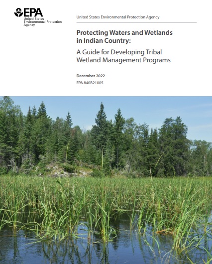 - Protecting Waters and Wetlands in Indian County: A Guide for Developing Tribal Wetland Management Programs – a guide for tribal natural resource managers interested in developing a tribal wetland program, including wetland monitoring and assessment activities; this guide also includes case studies that provide examples of wetland protection and management activities
- The Tribal Assessment Modules on EPA’s Ambient Water Monitoring and Assessment website have more information on Water Quality Assessments, including examples and technical guidance. Module 1- Understanding Water Quality Standards; Module 2- Overarching Considerations in Assessing Water Quality; Module 3- Assessing Data for Specific Water Quality Parameters; Module 4- Analyzing Data to Determine Use Support for Water Quality Assessment Reports.
- EPA’s Quality Assurance Project Plan Development Tool - includes a template and model, and supplemental technical information (statistical methods, recommended WQ criteria - under module 4).
- Example Quality Assurance Project Plan (QAPP) for Monitoring of Surface Water – an example based on a fictitious Northern California tribe planning to conduct water quality monitoring on a river system within tribal lands.
- EPA Region 10 Tribal QAPP Guidance and Template - includes examples for a water monitoring project to help the reader understand, generally, how a QAPP is written; please consult with your EPA Project Officer before using this template to ensure it is suitable for your project.
- Water Quality Data Upload with WQX – factsheets, user guides, best practices reports, video tutorials
- ATTAINS resources for users (tutorials, trainings, fact sheets) – online data submission/access
- Guidance on Systematic Planning Using the Data Quality Objectives Process - provides information on how to apply systematic planning to generate performance and acceptance criteria for collecting environmental data, including examples/case studies.
- Guidance for Data Quality Assessment: Practical Methods for Data Analysis - demonstrates how to use data quality assessment in evaluating environmental data sets and illustrates how to apply some graphical and statistical tools (e.g., statistical analysis and verification tests).
Resources from EPA Regions in the Southwest U.S.
- The Southwest Tribal Clean Water Act Training is targeting tribal communities in all or parts of EPA Regions 6, 8, and 9; here is a map of EPA Regions
- Website for the Region 6 Tribal Program
- Website for the Region 8 Tribal Affairs Branch
- Website for the Region 9 Regional Tribal Operations Committee (RTOC)
- EPA Region 9 has a webpage for Tribal Clean Water Act Programs and Grants in the Pacific Southwest that includes program and grant information and contact information for appropriate EPA staff
- Environmental Justice Thriving Communities Technical Assistance Centers (TCTACs) are supported by EPA and the U.S. Department of Energy. These regional technical assistance centers provide free training and other assistance to build capacity for applying to and managing grants, as well as other areas of technical assistance. TCTACs in the Southwest U.S. include:
- South Central Environmental and Energy Justice Resource Center (serving EPA Region 6)
- International City/County Management Association (serving EPA Region 8)
- Western Environmental Science Technical Assistance Center for Environmental Justice (serving EPA Region 9)
- Center for Community Energy and Environmental Justice (serving EPA Region 9)
Additional Useful Resources (Not from EPA)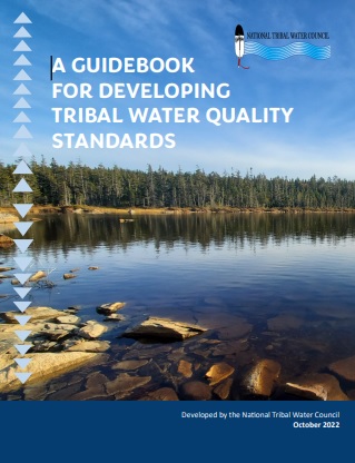
- The National Tribal Water Council (NTWC) developed A Guidebook for Developing Tribal Water Quality Standards to assist tribes in developing a water quality standards program under tribal legal authority. NTWC held a webinar on the guidebook in January 2023.
- The Tribal Exchange Network Group (TXG) works to support tribal management, analysis, and sharing of environmental data. The TXG provides free trainings, online resources, and technical assistance.
Calendar of Events

This calendar provides a place to share upcoming U.S. wetlands and water resources events. Note that the National Association of Wetland Managers (NAWM) has set up this calendar for information sharing purposes only. NAWM does not endorse the listed events.
Event listing information:
- As a NAWM Member, there is no charge to have your membership's organization event listed.
- Non-members will be charged a $100.00 fee per listing for an event.
- If you are not a NAWM member and would like to join, please join here.
- Your event will be listed for 60 days.
| Please check back. | ||||||||||||||||||

| Dates/Location | | | Agenda | | | Meeting Materials | | | EPA CWA Resources/Trainings | | | More Information |
The Southwest Tribal Clean Water Act Training was held March 4-7, 2024 at the Isleta Resort & Casino in Albuquerque, NM. This training was organized by the National Association of Wetland Managers (NAWM) and Saint Mary’s University of Minnesota GeoSpatial Services (SMUMN GSS) in partnership with the U.S. Environmental Protection Agency (EPA). The training workshop was open to tribal staff involved in implementing water quality monitoring and assessment programs and related Clean Water Act (CWA) programs from across the country, with a focus on examples and applications for Tribes in the southwest. The training addressed four areas key to water programs: 1) Regulatory and non-regulatory approaches to program building; 2) Water quality standards; 3) Monitoring and assessment; and 4) Data (collection, management, etc.).
Training Workshop Dates and Location 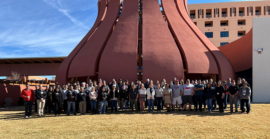
When: March 4-7, 2024
Location: Albuquerque, NM
Where:
Isleta Resort & Casino
11000 Broadway SE
Albuquerque, NM 87105
- Water Quality Program Basics (Liz Rogers, EPA Region 8)
- A Basic Introduction to Water Quality Standards (WQS) (James Ray, EPA)
- A Basic Introduction to Monitoring, Data, & Assessment (Adam Griggs, Jesse Boorman-Padgett, Cristina Mullin, and Rob Cook, EPA)
- Review of Current Federal Rulemakings and Proposed Regulatory Changes – Part 1 (James Ray, EPA)
- Review of Current Federal Rulemakings and Proposed Regulatory Changes – Part 2 (Lauren Kasparek and Myra Price, EPA)
- Sackett v. EPA: Potential Implications for Tribal Nations (Nadine Padilla, University of New Mexico School of Law)
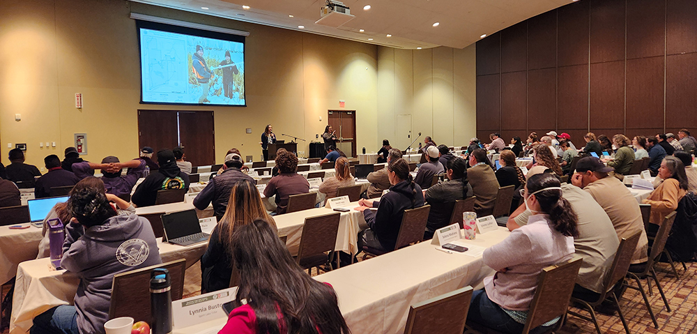 DAY 2: SHARING STORIES – LESSONS LEARNED FROM TRIBES
 - Overview of White Mountain Apache Tribe’s Water Resources Program (Sean Parker and Javis Davis, White Mountain Apache Tribe)
- Protecting Tribal Water Resources in Northwest California (Gregg Young, Potter Valley Tribe)
- 319 NPS Work Building BMP Structures to Address Impacts from the 2011 Las Conchas Fire and Flooding (Dino Chavarria, Santa Clara Pueblo)
- Taking Action on Stormwater Pollution: Snoqualmie Tribe Floating Treatment Wetland Installation (Kelsey Payne, Snoqualmie Indian Tribe)
- Water Quality Standards and Ongoing Work to Protect, Monitor, and Improve the Water Resources of the Pueblo of Santa Ana (Tammy Montoya, Joshua Jojola, and Malcolm Vigil, Pueblo of Santa Ana)
- You Inherited a Monitoring Program. What Now? (Megan Poffinbarger, Pechanga Band of Indians)
- Challenges in Monitoring Different Waterbodies on Santa Clara Pueblo (Robert Gutierrez and Jake Naranjo, Santa Clara Pueblo)
- Flowing Knowledge: Leveraging R Software for Management and Analysis of Water Quality Data on the Bishop Paiute Reservation (Brianda Hernandez and Sabrina Barlow, Bishop Paiute Tribe)
- Regulatory & Non-Regulatory Approaches:
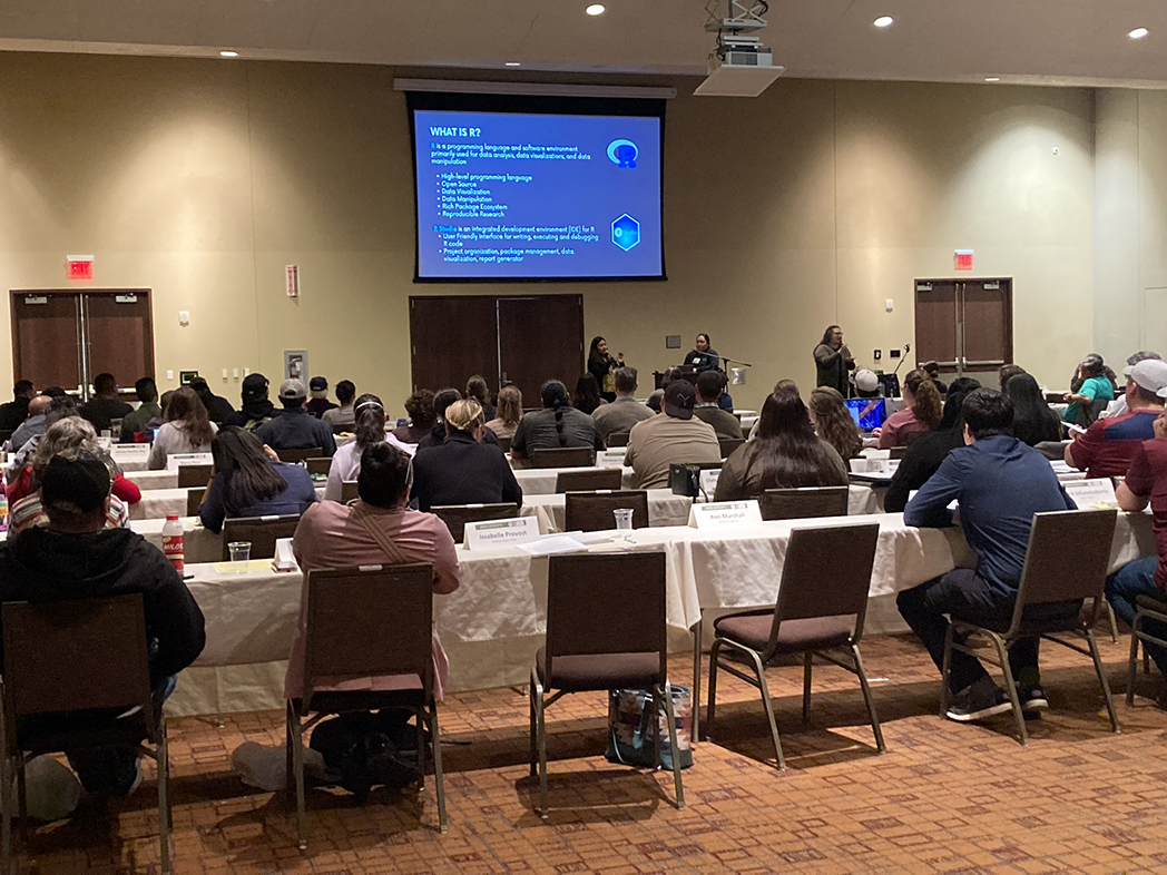
- Federal Grant Writing: Identifying Opportunities and Developing Proposals (Dana Catron, NMSU Arrowhead Center)
- CWA §319 Tribal Program: Nonpoint Source Pollution Management (Margot Buckelew, EPA)
- Wetland Program Development and GAP Grant Program (Myra Price, EPA)
- Overview of Treatment in a Similar Manner as a State (TAS) (Kelli Williams, EPA Region 9)
- Treatment in a Similar Manner as a State (TAS) Opportunities through the 2023 CWA Section 401 Rule (Liana Prudencio, EPA)
- Using wetland functional assessments to develop a Section 404 monitoring and assessment program (Andy Robertson, SMUM-GSS)
- Water Quality Standards:
- Introductory Training on Water Quality Standards for Tribal Waters (Jasmin Diaz Lopez, EPA Region 6)
- Intermediate Training on Common Tribal Water Quality Standards Interests (George Parrish, EPA Region 8)
- Monitoring and Assessment:
- Water Quality Monitoring and Quality Assurance Project Plans (Rob Cook, EPA Region 6)
- Monitoring Ecological Change and Project Effectiveness: Examples from San Antonio Creek, Jemez Mountains, NM (Karen Menetrey, Rio Grande Return)
- What Can Geospatial Approaches Do For Your Monitoring and Assessment Program? (Kathy Allen, SMUM-GSS)
- Assessment Methodologies, ATTAINS, and How’s My Waterway (Jesse Boorman-Padgett, Cristina Mullin, and Selena Medrano, EPA)
- Data:
- Submitting to WQX (Adam Griggs, EPA)
- WQP and TADA (Jesse Boorman-Padgett and Cristina Mullin, EPA)
NAWM developed an introductory training session that provides an overview of the Clean Water Act and was available for attendees to watch prior to the training workshop.
An Overview of the Clean Water Act (Presentation - PDF)
EPA has extensive tools, resources and training sessions available online for your use. Resources that are most pertinent to the training workshop are compiled here for your reference:
If you have any questions, please reach out to Portia Osborne, Assistant Director at portia@nawm.org.
Publications
 The Association conducts research and publishes reports, guidebooks, news articles, brochures, white papers, and summaries of findings of symposia and workshops. These are available electronically to all interested individuals and organizations.
