NAWM
The National Association of Wetland Managers is a nonprofit membership organization established in 1983 to promote and enhance protection and management of wetland resources, to promote application of sound science to wetland management efforts and to provide training and education for our members and the public. Membership is open to anyone who is involved with wetland resources.
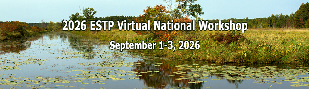
The U.S. Environmental Protection Agency (EPA) is holding a virtual national workshop focused on the Enhancing State and Tribal Programs (ESTP) initiative. Wetland program staff from EPA, tribes/nations, states, territories, local governments, and non-profit/academic partners are invited to attend. The National Association of Wetland Managers (NAWM) will be providing technical and facilitation support. The workshop will include updates from EPA on the ESTP initiative, Wetland Program Development Grants (WPDGs), and technical support, and will showcase wetland programs and projects from across the country.
The ESTP Virtual National Workshop will be held September 1-3, 2026. Virtual sessions via Microsoft Teams will run 1pm-5pm ET / 10am-2pm PT each day.
REGISTRATION
Registration is now open! Please note that you must register separately for each day:
For More Information
If you have questions, please contact Portia Osborne with NAWM at portia@nawm.org.
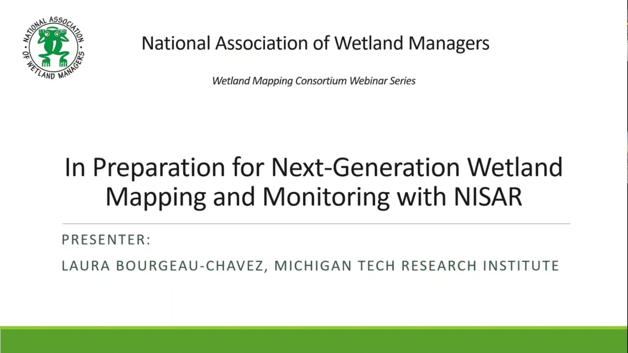
In Preparation for Next-Generation Wetland Mapping and Monitoring with NISAR
Held Wednesday, June 10, 2026 - 3:00 p.m. - 4:00 p.m.
INTRODUCTION
- Ian Grosfelt, National Association of Wetland Managers [PRESENTATION PDF]
PRESENTER
Laura Bourgeau-Chavez, Michigan Technological University [PRESENTATION PDF]
ABSTRACT
The recently launched NASA-ISRO (Indian Space Research Organization) NISAR mission provides unprecedented opportunities for systematic wetland monitoring through 6-12 day repeat coverage (with ascending and descending modes). NISAR collects dual-frequency L-band synthetic aperture radar (SAR) observations globally and quadrature polarization over select areas, including the midwestern US (much of the Great Lakes). This presentation highlighted the added capability of NISAR for global wetland mapping and monitoring. Imagery from the new satellite was shown, but the big release of data will not be until July 2026. Therefore, recent wetland research using the airborne version of NISAR, L- and S-band ASAR, acquired over Great Lakes coastal wetlands was presented. In this research we assessed multi-frequency polarimetric data from ASAR’s L- and S-bands as well as C-band from Radarsat-2. Using these quadrature polarized data, we demonstrated the capabilities and limitations of each wavelength for mapping wetland inundation beneath varying vegetation structures and biomass conditions. Comparisons among frequencies show differing sensitivities to flooded vegetation, canopy structure, and scattering mechanisms, improving our understanding of how wavelength and polarization influence inundation detection in complex wetland environments. For this often cloud covered region, we also assessed wetland type mapping using the single date of fully polarimetric L- and S-band ASAR data, and high classification accuracies were achieved across diverse wetland classes. In addition, we evalutated SAR retrieval algorithms for wetland vegetation biomass. The longer wavelength of L-band provides greater vegetation penetration capability to detect inundation and estimate biomass, thus it is highly complementary to both C-band (e.g. Sentinel-1) and optical-IR data (e.g. Sentinel-2 and Landsat) for monitoring wetlands.
BIO
 Laura Bourgeau-Chavez, PhD is Chief Research Scientist and Sensing the Natural Environment Practice Area Lead at Michigan Tech Research Institute. She is Adjunct Associate Professor in Michigan Technological University’s College of Forest Resources and Environmental Sciences. Laura has extensive experience in ecological research and remote sensing with a focus on wetlands and Synthetic Aperture Radar (SAR). She uses SAR alone or with other sensors to detect cryptic vernal pools, map wetland ecosystem types and to monitor inundation and soil moisture patterns. Her team has mapped wetlands across regions from the tropics to the boreal-arctic, including mountain peatland systems. Her research has had a strong focus on the Great Lakes coastal wetlands as well as boreal peatlands. Laura is particularly passionate about peatlands, which she has been researching for over twenty years and in 2021 she served as a coordinating lead author for the United Nations' Global Peatland Assessment. Bourgeau-Chavez holds a Bachelors of Science and Masters of Science from the University of Michigan in Natural Resources and Forest Ecology, respectively, and a PhD in Forest Ecology and Remote Sensing from the University of New Brunswick, Fredericton, N.B. Her dissertation was on using synthetic aperture radar satellite data to monitor fuel moisture in boreal ecosystems for fire danger assessment. As an adjunct associate professor at Michigan Tech, Bourgeau-Chavez serves on PhD and MS committees and gives occasional lectures on remote sensing of wetlands.
Introduction: Ian Grosfelt, National Association of Wetland Managers;
Please click only once on the video recording to view in this window.
![]()
Presenter: Laura Bourgeau-Chavez, Michigan Technological University

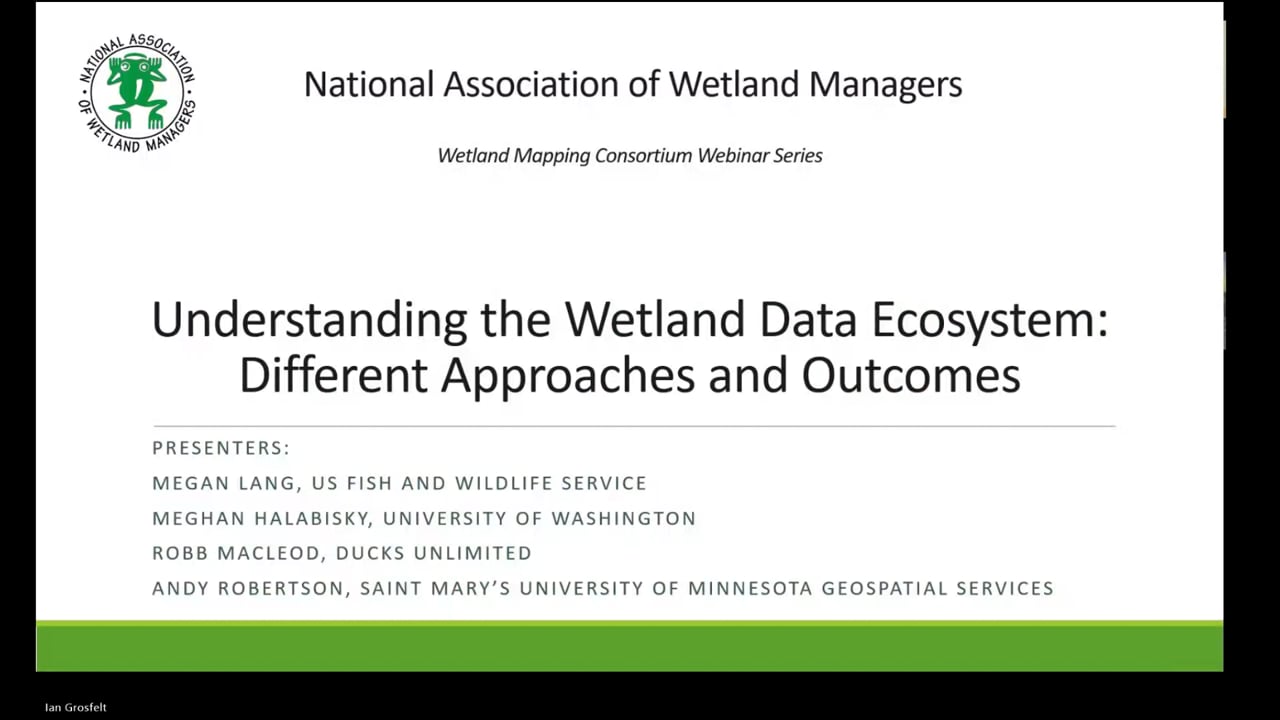
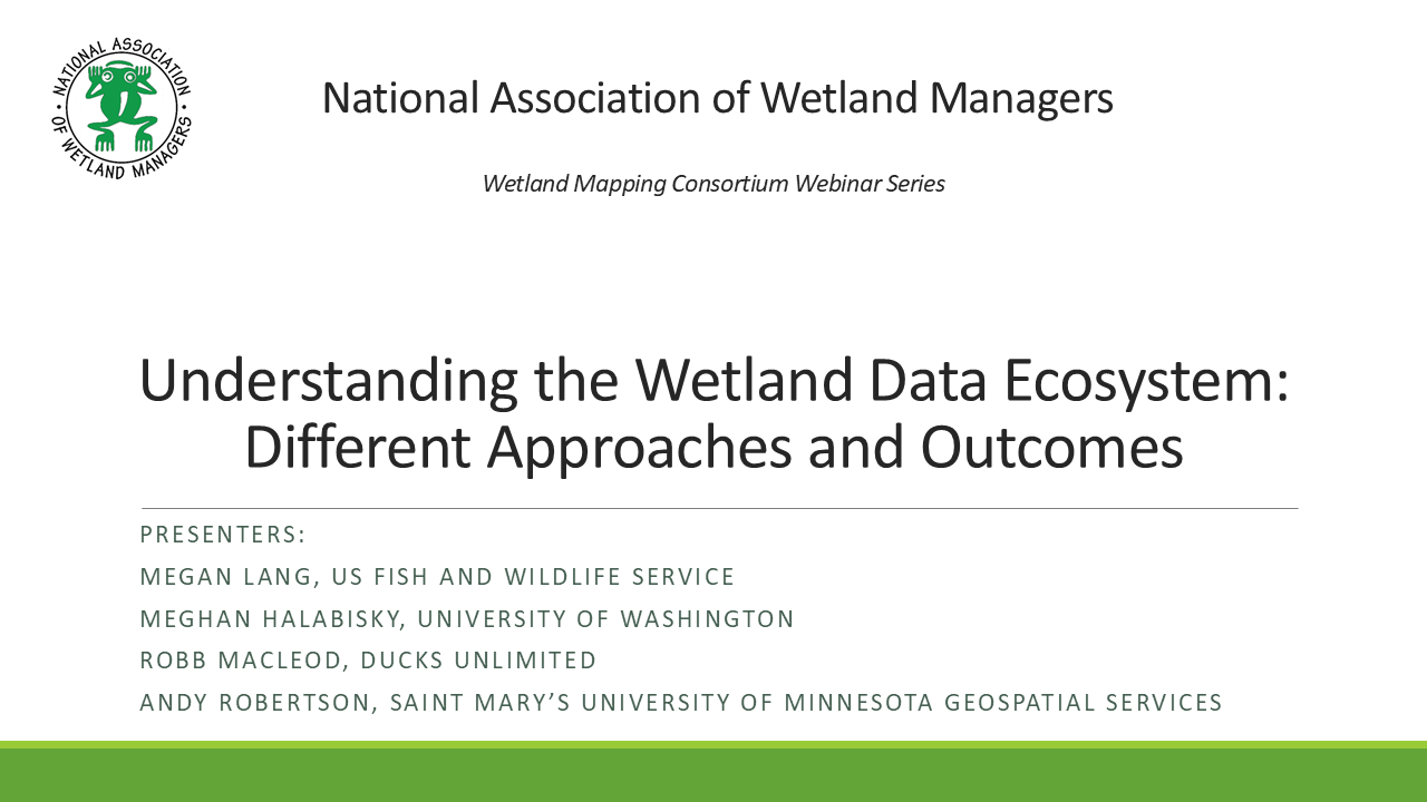
Understanding the Wetland Data Ecosystem: Different Approaches and Outcomes
Held Thursday, April 9, 2026 - 3:00 p.m.-4:30 p.m. EDT
INTRODUCTION
- Ian Grosfelt, National Association of Wetland Managers [PRESENTATION PDF]
PRESENTERS
- Megan Lang, U.S. Fish and Wildlife Service National Wetlands Inventory [PRESENTATION PDF]
- Andy Robertson, St. Mary's University of Minnesota GeoSpatial Services [PRESENTATION PDF]
- Robb MacLeod, Ducks Unlimited [PRESENTATION PDF]
- Meghan Halabisky, University of Washington
ABSTRACT
Understanding the Wetland Data Ecosystem: Different Approaches and Outcomes
Wetland geospatial data are increasingly important in light of current and future challenges around water quality, natural disaster mitigation, food and water security, conservation planning, and more. A wide-array of geospatial products can be used to support decision-making around wetlands –– from those that highlight where wetlands might be to those that identify specific wetland types and boundaries. These products are created for distinct geographies using varying wetland definitions and approaches. As a result, they map different areas and have contrasting levels of detail and accuracy. Through four unique perspectives, this webinar outlines the basic differences and relationships between wetland geospatial datasets, highlighting how they can be leveraged to best address user requirements.
BIOS
 Megan Lang is Chief Scientist for the U.S. Fish and Wildlife Service National Wetlands Inventory Program and Project Lead for the Wetlands Status and Trends study. She is an Adjunct Professor at the University of Maryland Department of Geographical Sciences and serves as an Associate Editor for the journal Wetlands. Dr. Lang has been working to improve the assessment of aquatic ecosystems through field and remote sensing studies for over two decades. Before working for the U.S. Fish and Wildlife Service, she led the U.S. Department of Agricultural Mid-Atlantic Regional Wetland Conservation Effects Assessment Project
 Robb Macleod is the National GIS Coordinator for Ducks Unlimited. He has been working for Ducks Unlimited in the GIS and Remote Sensing field for over 25 years. His current duties include coordinating all of the geospatial activities for Ducks Unlimited. Robb has been active in mapping wetlands in the Great Lakes for over 19 years with previous experience mapping wetlands and land cover in Alaska.
 Andy Robertson is currently Executive Director of GeoSpatial Services at Saint Mary’s University of Minnesota. In this role, Andy is responsible for oversight and management of all GeoSpatial Services projects, activities and staff. GeoSpatial Services is engaged in a wide variety of projects across the Lower 48 and Alaska including: Catholic Church properties data driven decision support, wetland inventory and functional assessment, national hydrography dataset updates; stakeholder consultation; and natural resource condition assessments. Andy has been a key partner of the USFWS, working for over 20 years to update legacy National Wetland Inventory data across the nation. He earned a Forest Technology Diploma from Sault College of Applied Technology in Ontario, Canada, a B.Sc. in Environmental Science from the University of Waterloo and completed postgraduate work in forest management at the University of Toronto. He is a board member for the National Association of Wetland Managers, steering committee member for the NAWM Wetland Mapping Consortium, Member of the American Rivers Functioning Floodplain Alliance, President-Elect of the Society of Wetland Scientists North Central Chapter and past chair of the Alaska Wetlands Technical Working Group.
 Meghan Halabisky is a co-founder of TealWaters and a Research Scientist at the University of Washington, specializing in remote sensing and geospatial analysis for wetland conservation. She holds a PhD in Remote Sensing and Geospatial Analysis from the University of Washington, where her research focuses on understanding wetland dynamics in the face of climate change and enhancing conservation strategies through cutting-edge spatial tools. She leads the NASA Carbon Monitoring System Science Team WetCarbon working group and serves as a Senior Science Advisor for Digital Earth Africa, working to support countries to develop national wetland inventories. Dr. Halabisky works closely with tribal governments, policymakers, and natural resource managers to promote equitable, nature-based solutions.
Please click only once on the video recording to view in this window.
Introduction: Ian Grosfelt, National Association of Wetland Managers;
Presenters: Megan Lang, U.S. Fish and Wildlife Service National Wetlands Inventory; Andy Robertson, St. Mary's University of Minnesota GeoSpatial Services; Robb MacLeod, Ducks Unlimited; and Megha Halabisky, University of Washington
View Past Wetland Mapping Consortium Webinars
PDF List of Past Wetland Mapping Consortium Webinar Recordings
View Upcoming Wetland Mapping Consortium Webinars
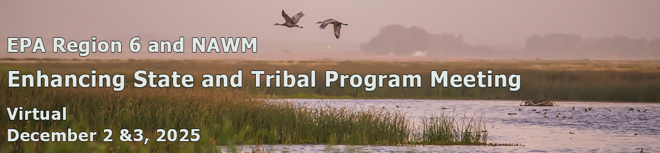 The EPA Region 6 Enhancing State and Tribal Program Meeting was held as a fully virtual meeting via Microsoft Teams on Tuesday, December 2 and Wednesday, December 3, 2025, from 9am – 12:30pm mountain time each day. The National Association of Wetland Managers (NAWM) provided logistical and facilitation support to EPA Region 6 for this meeting.
The target audience was state, Tribal, federal, regional and municipal wetland and aquatic resource program staff and managers that are interested in wetland and aquatic resource management, restoration, conservation, and protection. EPA Region 6 includes Arkansas, Louisiana, New Mexico, Oklahoma, Texas and 66 Tribal Nations.
Presentations included: projects funded through EPA Wetland Program Development Grants (WPDG); briefing on the EPA WPDG new Notice of Funding Opportunity for Region 6.
- Presentations have been added.
If you have questions, please contact Ian Grosfelt, Environmental Analysis at ian@nawm.org.
Mid-Atlantic Wetlands Workgroup 2025 Annual Meeting:
Sharing Research, Best Practices and Lessons Learned in
Wetland Management
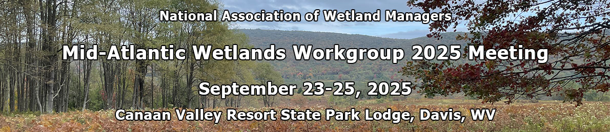
Thank you for joining us for the Mid-Atlantic Wetlands Workgroup’s (MAWWG) 2025 meeting to spur new projects, partnerships, and collaborative efforts to strengthen management of aquatic resources across the region.
Dates
September 23-25, 2-25
Location
Canaan Valley Resort State Park; Davis, WV
Host Organizations
The National Association of Wetland Managers
MAWWG Purpose:
The Mid-Atlantic Wetland Workgroup (MAWWG) facilitates a community of practice among scientists and regulators to improve the quality and quantity of wetlands and inform resource management, including sharing strategies to monitor, assess, conserve and restore tidal and non-tidal wetlands in a scientifically sound and implementable manner with a focus on state, tribal and federal programs.
Agenda
Agenda provided below with links to presentation slides. See Resources below.
| TUESDAY, SEPTEMBER 23RD | |
| Day 1 Morning | |
| 8:30am – 10:15am | Introductions and Icebreaker |
| 10:15am – 10:30am | BREAK |
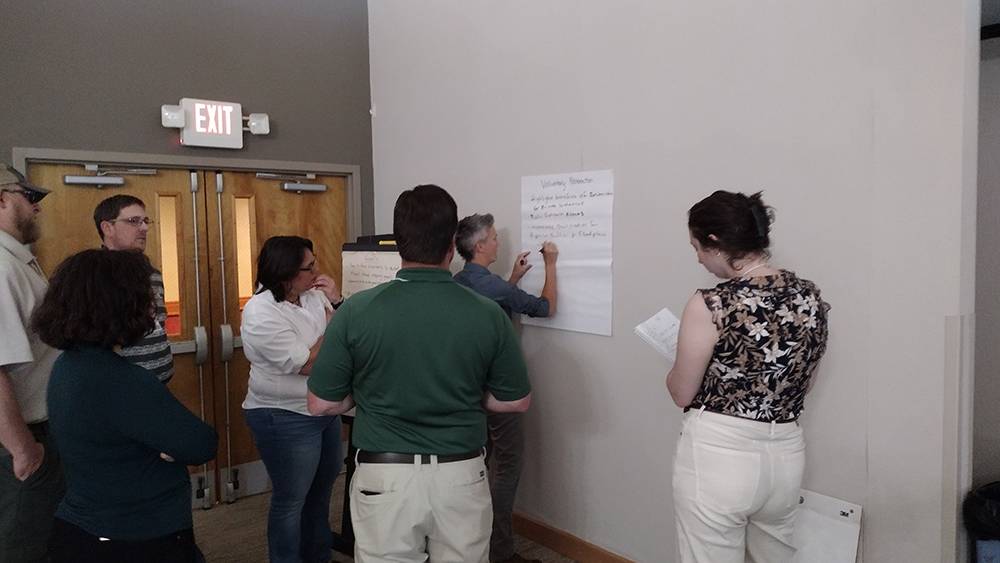
| 10:30am – 12:00pm | Challenges and Brainstorming |
|
|
| Day 1 Afternoon | |
| 1:00pm – 2:30pm | State/Tribal Share-Outs |
| 2:30pm – 2:45pm | BREAK |
| 2:45pm – 4:15pm |
Innovative Tools and Techniques
|
| 4:15pm – 4:45pm | Day 1 Debrief |
| WEDNESDAY, SEPTEMBER 24TH | |
| Day 2 Morning | |
| 8:30am – 8:45am | Recap and Announcements |
| 8:45am – 10:15am |
State Share-Outs
|
|||
| 10:15am – 10:30am | BREAK | |||
| 10:30am – 12:00pm |
Connecting Research to Policy
|
| Day 2 Afternoon | ||
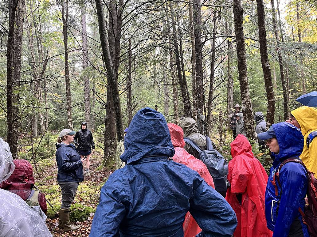
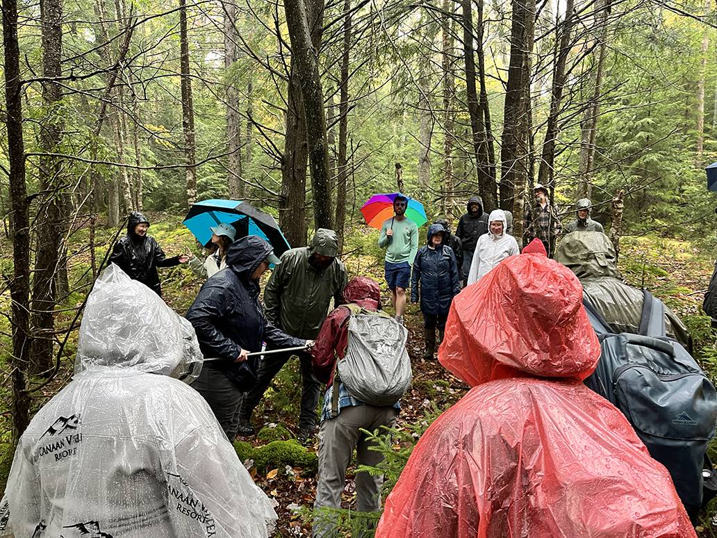
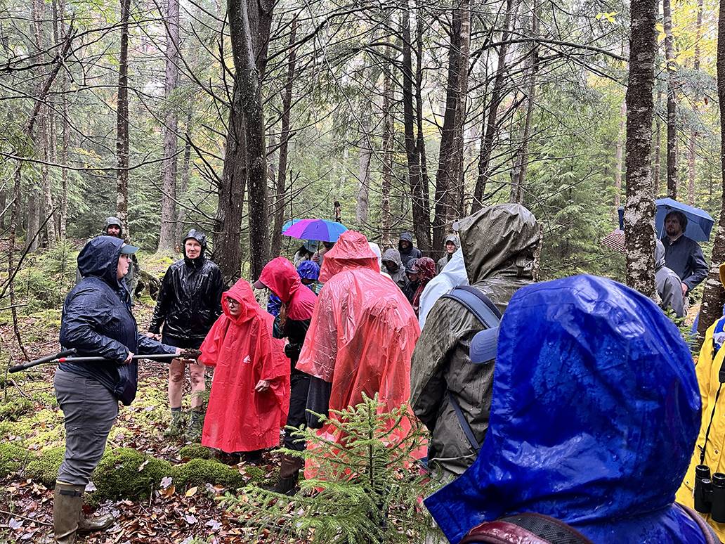
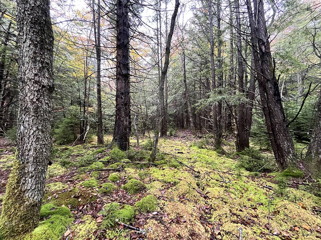
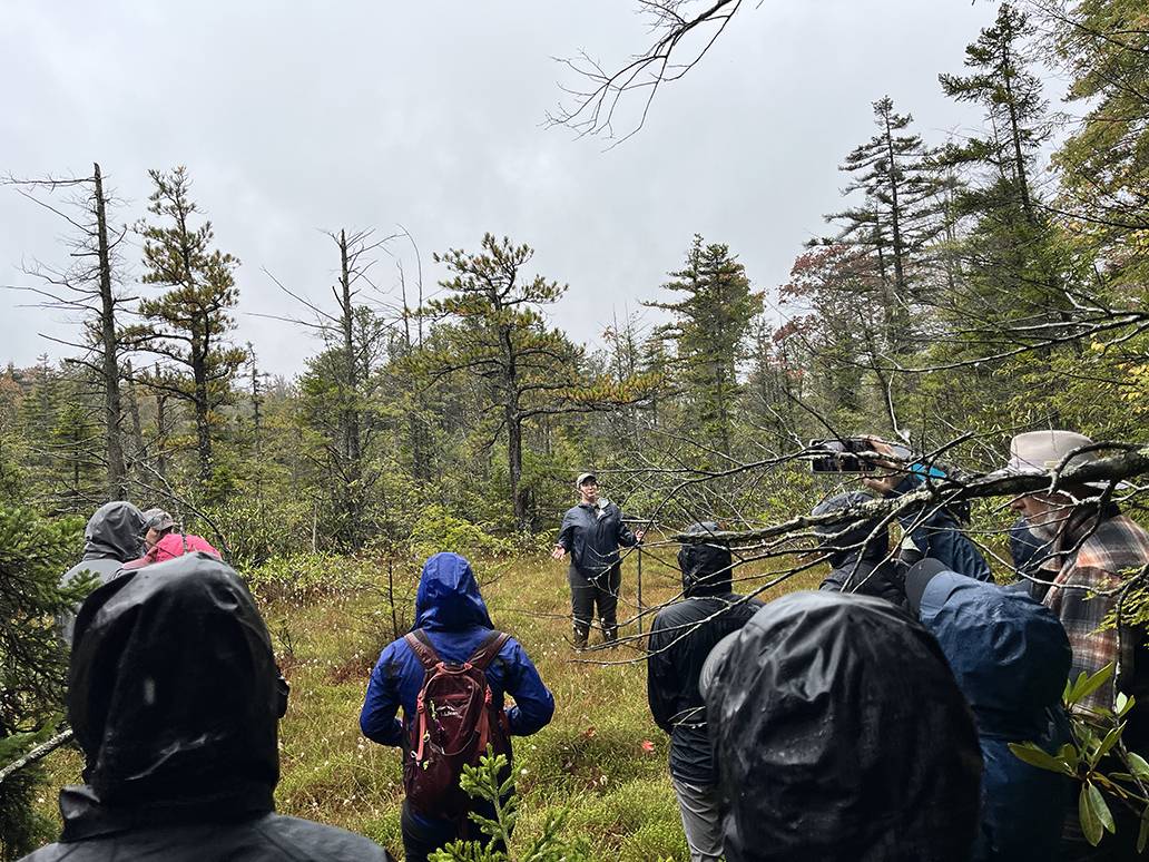
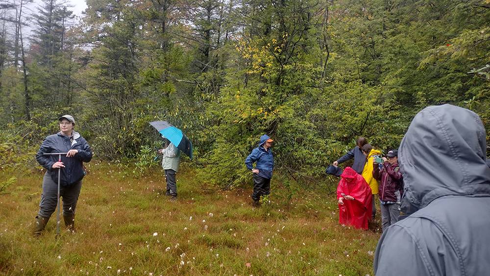
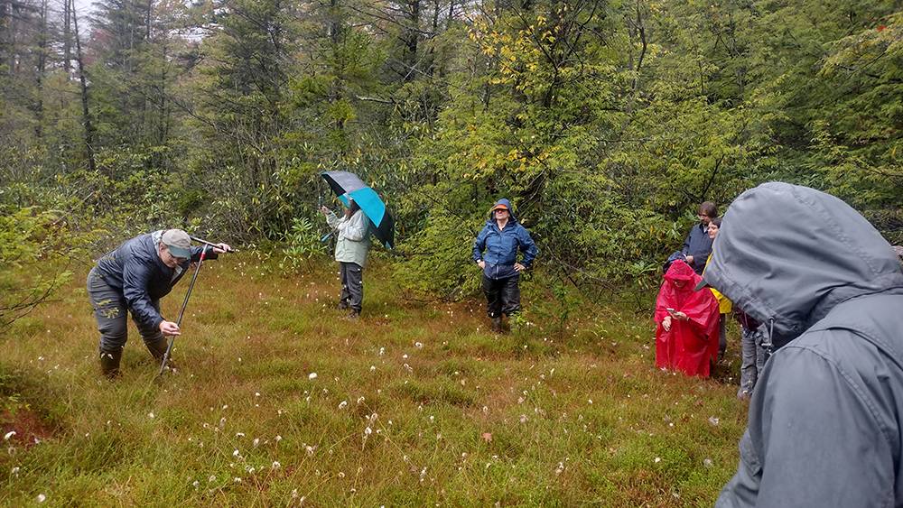
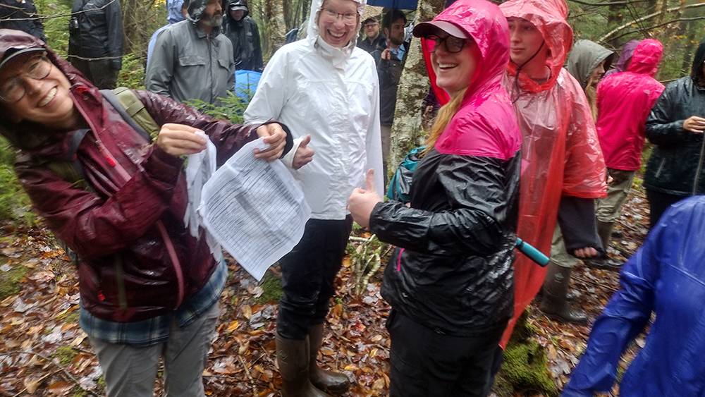
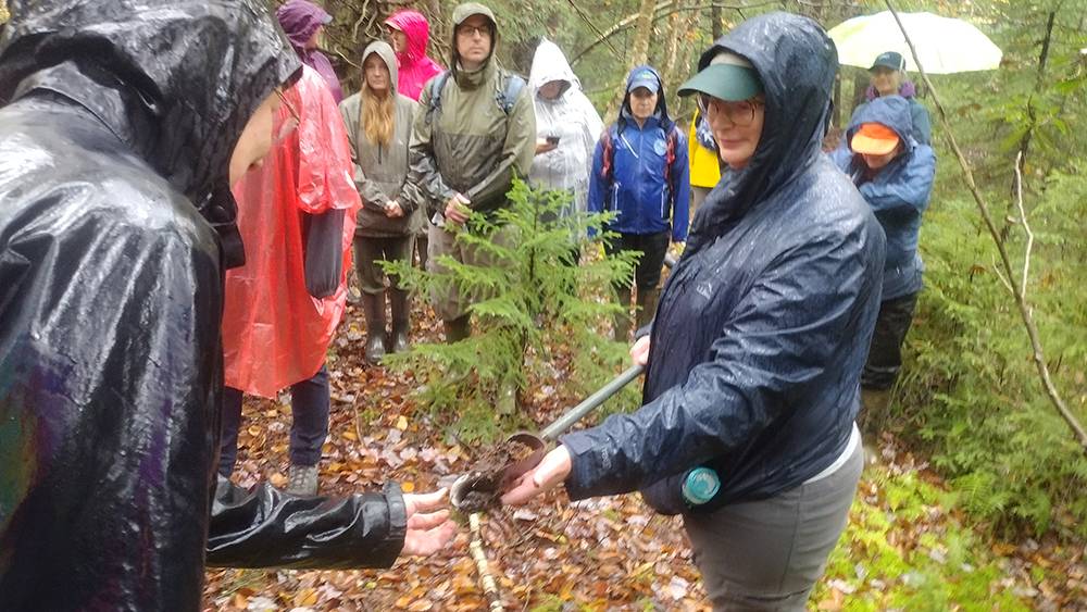
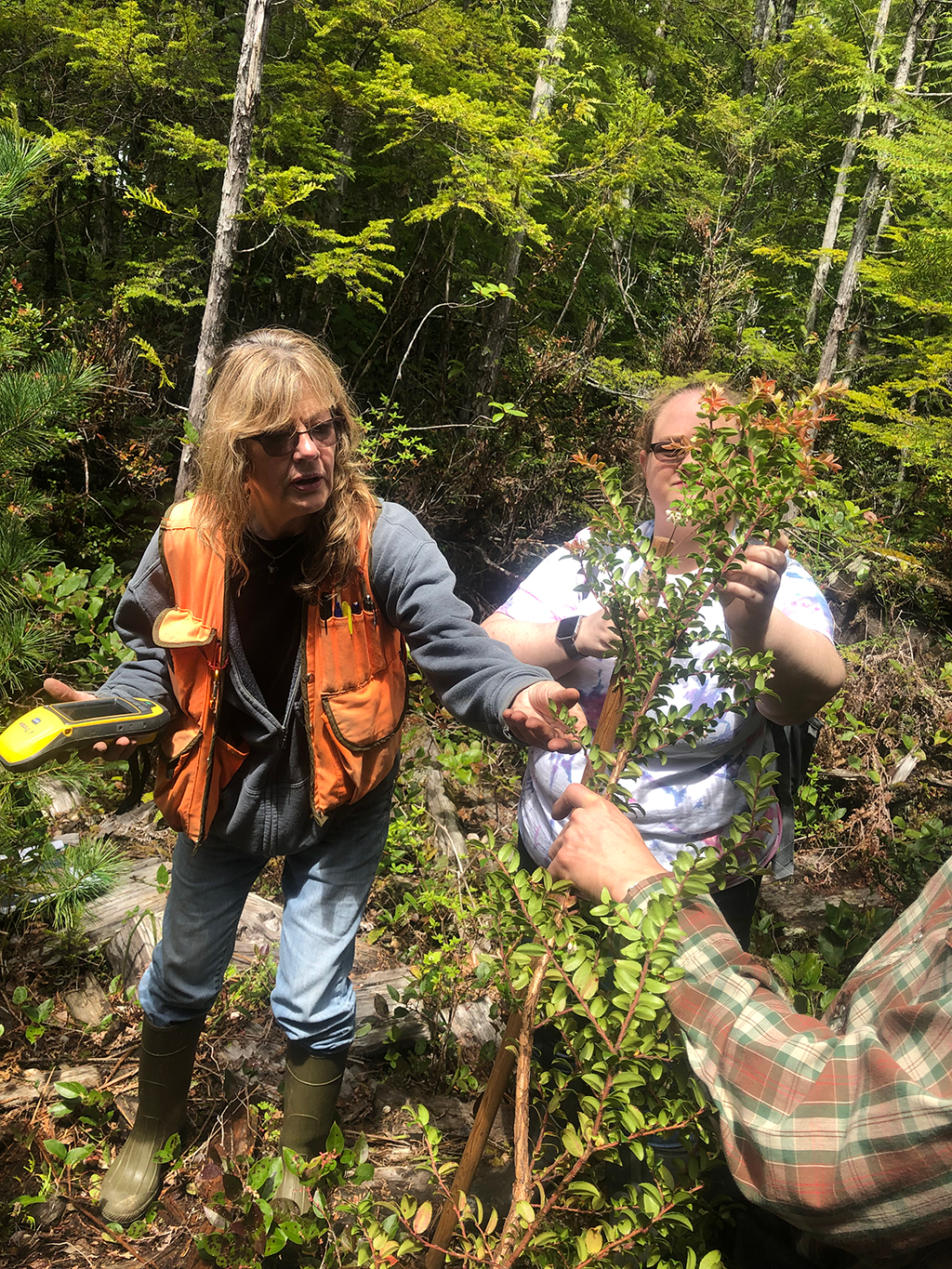
| 12:00pm – 4:15pm | Field Visit The group visited several sites in Blackwater Falls State Park including a WVWRAM Assessed wetland and an exemplary peatland. We also stopped at the Freeland Boardwalk Trail in the Canaan Valley National Wildlife Refuge. |
|
| 4:15pm – 4:45pm | Day 2 Debrief | |
| THURSDAY, SEPTEMBER 25TH | ||
| Day 3 Morning | ||
| 8:30am – 8:45am | Recap and Announcements | |
| 8:45am – 10:15am | Vernal Pools | |
|
Vernal Pool Surface Water Connectivity in the Headwaters of Central Pennsylvania: Taylor Blackman, Pennsylvania State University Volunteer Vernal Pool Monitoring in West Virginia: Callie Sams, West Virginia DEP Maine Special Area Management Program: Aram Calhoun, University of Maine Partnerships to support vernal pool management, restoration and monitoring in Pennsylvania: Betsy Leppo, Western |
||
| 10:15am – 10:30am | BREAK | |
| 10:30am – 12:00pm |
Citizen Science and Outreach
|
|

Effects of road salt on nitrogen removal by freshwater urban wetlands
Pennsylvania Clean Water Academy
Contact Information
Agenda
Ian Grosfelt
Environmental Analyst
National Association of Wetland Managers
(207) 892-3399; ian@nawm.org
Marla Stelk, Executive Director
National Association of Wetland Managers
(207) 892-3399; marla@nawm.org
General Information
Laura Burchill, Office Manager
National Association of Wetland Managers
500 Washington Avenue, Suite 201
Portland, ME 04103
(207) 892-3399; Fax: (207) 894-7992
laura@nawm.org
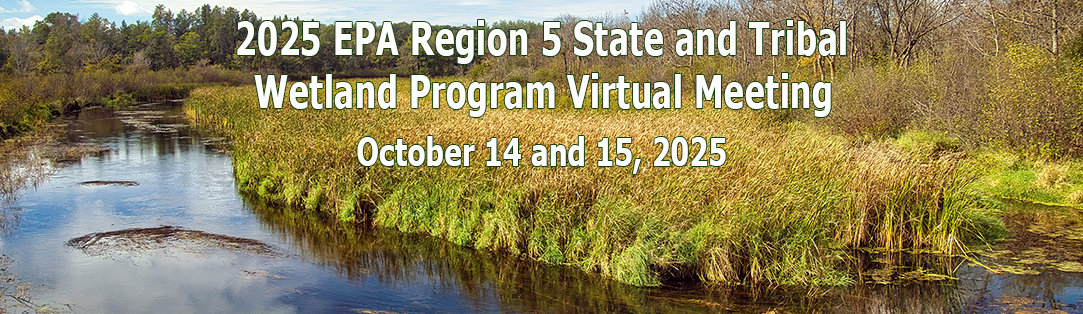
The 2025 U.S. Environmental Protection Agency (EPA) Region 5 Wetland Program Virtual Meeting was held on October 14-15, 2025. The online sessions was an opportunity for Tribes and States in Region 5 who are engaged in wetlands protection issues and current and past Wetland Program Development Grant (WPDG) recipients to share wetland program updates and showcase recent WPDG projects. The National Association of Wetland Managers (NAWM) provided logistical and facilitation support.
Agenda and Speakers
Presentations
Day 1 (October 14, 2025)
EPA’s Enhanced State and Tribal Program Overview, Nicki DeWeese, EPA Region 5
National Wetlands Conditions Assessment Update, Mari Nord, EPA Region 5
Regional Monitoring Network in R5, Katie Quesnell, EPA Region 5
Eye of the Beholder: Perception of Natural Beauty of Wisconsin Wetlands, Ben Beardmore, Wisconsin DNR
Evaluation of Alternate Wetland Assessment Methods in Ohio, Jeff Boyles, Ohio EPA
Establishing Wetlands as an Agricultural Management Practice in Wisconsin, Erin O’Brien, Wisconsin Wetlands Association
Day 2 (October 15, 2025)
Region 5 Tribal Wetlands Working Group Updates, Mike Jones, Stockbridge-Munsee Community
Improving Wetland and Stream Connectivity, John Saltanovitz, Michigan EGLE
Mercury Concentrations in Peatland vs. Non-Peatland Tributaries of Red Lake, Tyler Orgon, Red Lake Band of Chippewa Indians
Weaving Wetland Knowledge at SMSC: Using Cultural Inputs and Geospatial Tools for Improved Stewardship, Ferin Davis Anderson, Shakopee Mdewakanton Sioux Community
Wisconsin Mitigation Guidelines Update, Chelsey Lundeen, Wisconsin DNR
Using Desktop Resources to Complete the New WI/MN Wetland Functional Assessment Method, Sally Jarosz, WI DNR, and Ken Powell, MN BWSR
For More Information
If you have questions, please contact Portia Osborne with NAWM at portia@nawm.org.
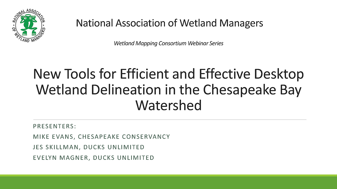
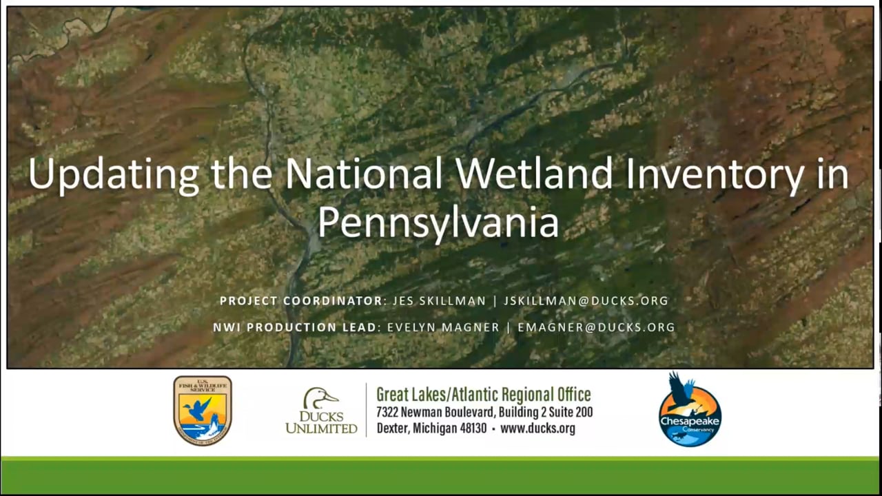
New Tools for Efficient and Effective Desktop Wetland Delineation in the Chesapeake Bay Watershed
Held Wednesday, December 17, 2025 - 3:00 p.m.-4:30 p.m. EST
INTRODUCTION
- Ian Grosfelt, National Association of Wetland Managers [Presentation - PDF]
PRESENTERS
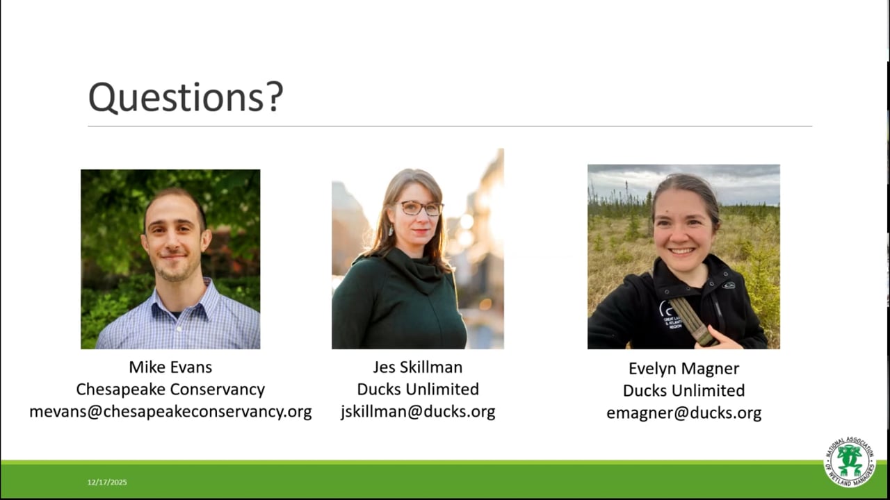
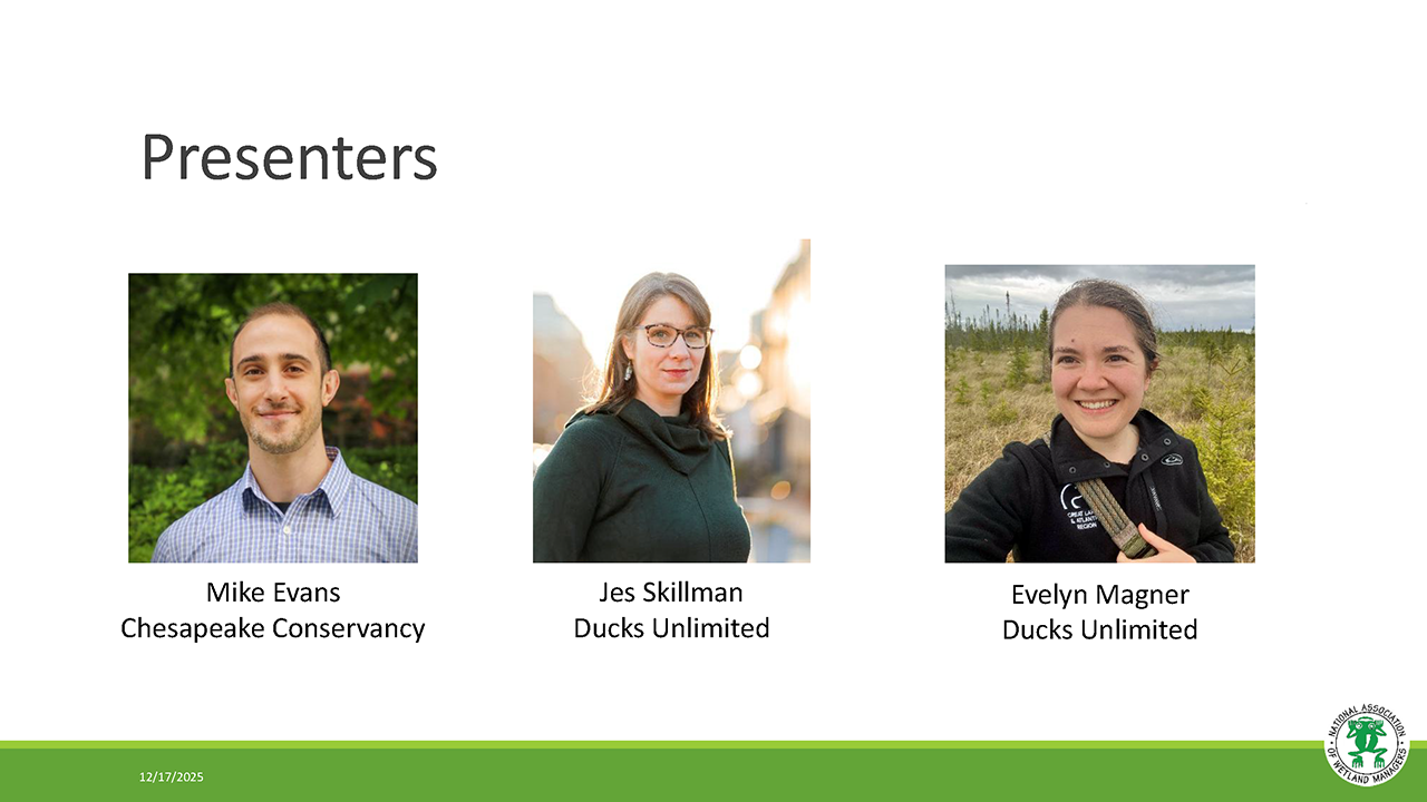
- Mike Evans, Chesapeake Conservancy [Presentation - PDF]
- Jes Skillman, Ducks Unlimited, Great Lakes/Atlantic Region [Presentation- PDF]
- Evelyn Magner, Ducks Unlimited [Presentation- PDF]
BIOS
Michael Evans is Deputy Director with the Conservation Innovation Center and leads research that improves conservation policy, decision-making, and implementation. He is responsible for developing the Chesapeake Conservancy's use of data science and technology, including the application of deep learning and remote sensing data to better understand land-use dynamics. He earned a Ph.D. in natural resource management from the University of Connecticut where his research helped state agencies understand how the space use and movements of black bears change across gradients of human landscape modification.
 Jes Skillman has over 12 years' experience in Conservation GIS at Ducks Unlimited. She currently manages and coordinates the Geospatial Department of Duck’s Unlimited’s Great Lakes / Atlantic office. In this role, Ms. Skillman works closely with partners, the DU Conservation Team, and the DU GIS team to develop baseline data, priority area mapping tools, and web applications that align with conservation goals. Ms. Skillman has a BA in Ecology from the University of Toronto and a Masters in Conservation Biology from the University of Michigan.
 Evelyn Magner has experience as a GIS professional in conservation non-profits, including 4 years of National Wetland Inventory mapping. Prior to joining Ducks Unlimited, Evelyn worked with various nonprofits, supporting their conservation efforts with the creation of maps and web applications for communication and planning purposes. She holds a Bachelor of Arts in environmental studies and geography and a Master of Science in applied ecology.
Please click only once on each video recording to view in this window.
Part 1: Introduction: Ian Grosfelt, National Association of Wetland Managers; Presenter: Mike Evans, Chesapeake Conservancy
Leveraging Related Federal Mapping Programs to Enhance NWI Data Cost Efficiency and Interoperability
Held Wednesday, September 10, 2025 - 3:00 p.m.-4:00 p.m. EDT
INTRODUCTION
- Ian Grosfelt, National Association of Wetland Managers [Presentation - PDF]
PRESENTERS
- Megan Lang, U.S. Fish and Wildlife Service National Wetlands Inventory
- Andy Robertson, St. Mary's University of Minnesota Geospatial Services [Presentation - PDF]
BIOS
Megan Lang is Chief Scientist for the U.S. Fish and Wildlife Service National Wetlands Inventory Program and Project Lead for the Wetlands Status and Trends study. She is an Adjunct Professor at the University of Maryland Department of Geographical Sciences and serves as an Associate Editor for the journal Wetlands. Dr. Lang has been working to improve the assessment of aquatic ecosystems through field and remote sensing studies for over two decades. Before working for the U.S. Fish and Wildlife Service, she led the U.S. Department of Agricultural Mid-Atlantic Regional Wetland Conservation Effects Assessment Project.
 Andy Robertson is currently Executive Director of GeoSpatial Services at Saint Mary’s University of Minnesota. In this role, Andy is responsible for oversight and management of all GeoSpatial Services projects, activities and staff. GeoSpatial Services is engaged in a wide variety of projects across the Lower 48 and Alaska including: wetland inventory; National Hydrography Dataset updates; spatial data development; and natural resource condition assessments. GeoSpatial Services has been a key partner of the USFWS and has been working for over 18 years to update legacy National Wetland Inventory data across the nation. Andy is a steering committee member for the NAWM Wetland Mapping Consortium, a NAWM Board Member and is past-chair of the Alaska GeoSpatial Council Wetland Technical Working Group.
Please click only once on each video recording to view in this window.


Part 1: Introduction: Ian Grosfelt, National Association of Wetland Managers; Presenters: Megan Lang, U.S. Fish and Wildlife Service National Wetlands Inventory and Andy Robertson, St. Mary's University of Minnesota Geospatial Services

![]()
Celebrating the 50th Anniversary of the U.S. Fish and Wildlife Service’s National Wetlands Inventory
Held Tuesday, June 24, 2025 - 3:00 p.m.-4:30 p.m. EDT
In this webinar, they reflected on the past and future of the NWI Program as they heard from data users across the nation. Presenters highlighted the importance of wetlands geospatial data in supporting sound decision-making, from guiding species conservation to enabling strategic development. The audience was welcome to share their own stories. They celebrated the 50th anniversary of the U.S. Fish and Wildlife Service’s National Wetlands Inventory!
INTRODUCTION
- Ian Grosfelt, National Association of Wetland Managers [Presentation - PDF]
PRESENTERS
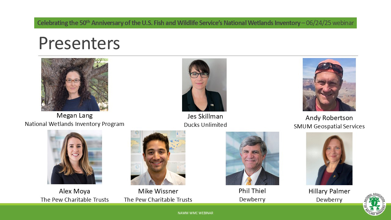
- Megan Lang, U.S. Fish and Wildlife Service [Presentation - PDF]
- Jes Skillman, Ducks Unlimited [Presentation - PDF]
- Andy Robertson, St. Mary's University of Minnesota Geospatial Services [Presentation - PDF]
- Alex Moya, The Pew Charitable Trusts [Presentation - PDF]
- Mike Wissner, The Pew Charitable Trusts
- Phil Thiel, Dewberry [Presentation - PDF]
- Hillary Palmer, Dewberry
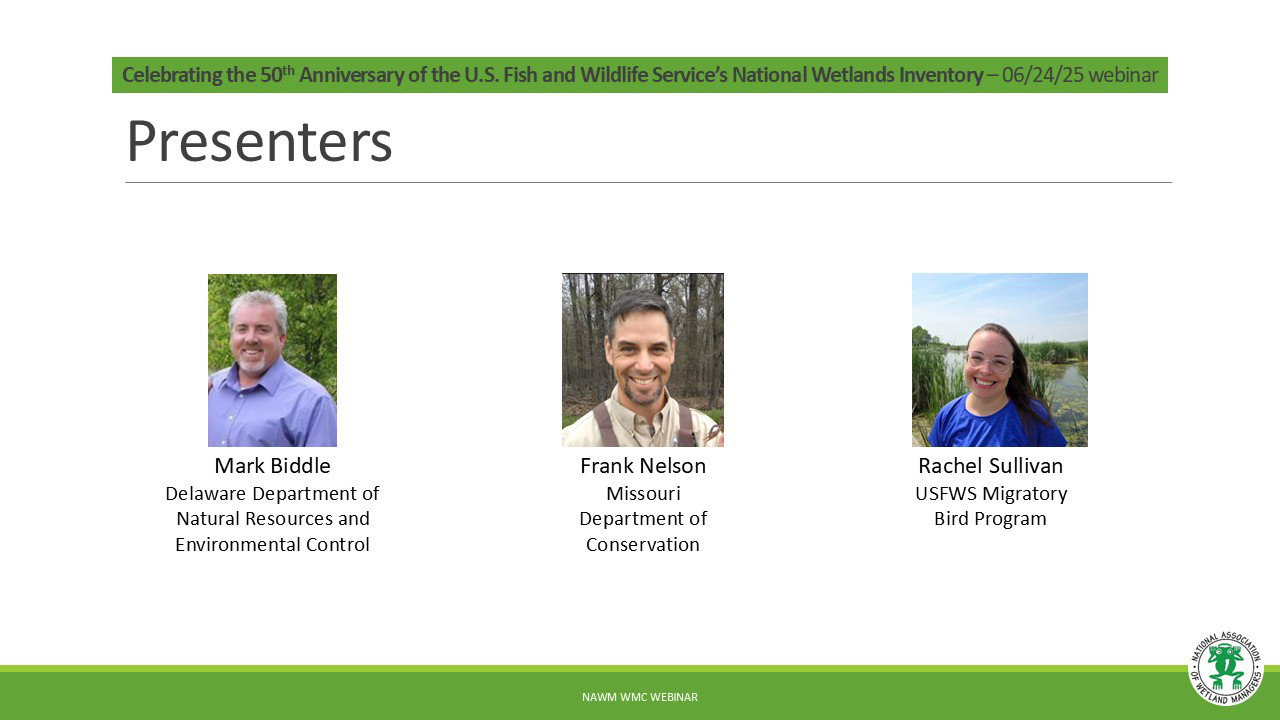
- Mark Biddle, Delaware Department of Natural Resources and Environmental Control [Presentation - PDF]
- Frank Nelson, Missouri Department of Conservation [Presentation - PDF]
- Rachel Sullivan, U.S. Fish and Wildlife Service [Presentation - PDF]
Please click only once on each video recording to view in this window.
Part 1: Introduction: Ian Grosfelt, National Association of Wetland Managers; Presenter: Megan Lang, National Wetlands Inventory Program
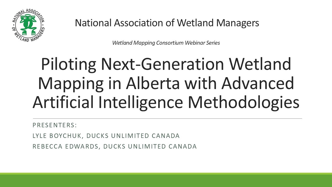
Piloting Next-Generation Wetland Mapping in Alberta with Advanced Artificial Intelligence Methodologies
Held Wednesday, May 7, 2025 - 3:00 p.m.-4:30 p.m. EDT
INTRODUCTION [Presentation - PDF]
Ian Grosfelt, National Association of Wetland Managers
PRESENTERS [Presentation - PDF]
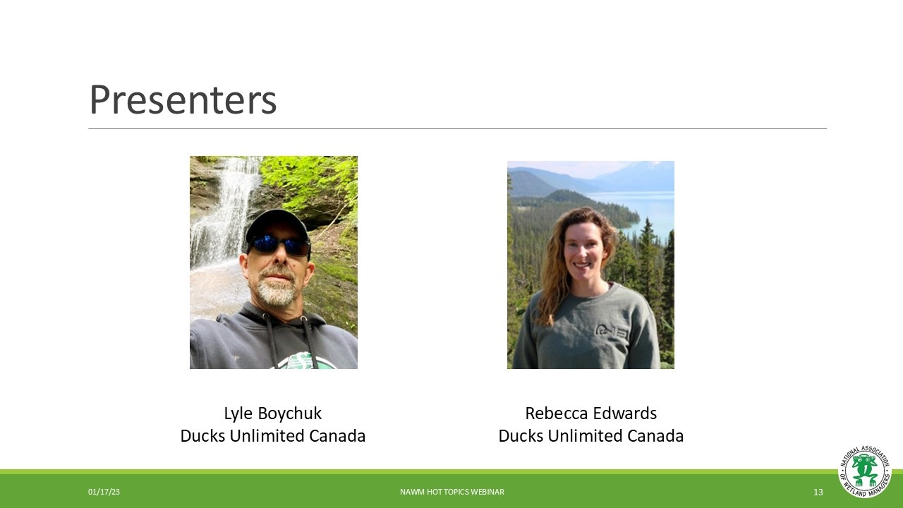
- Lyle Boychuk, Ducks Unlimited Canada
- Rebecca Edwards, Ducks Unlimited Canada
ABSTRACT
This presentation provided an overview of a collaborative project, delivered by the Government of Alberta, Ducks Unlimited Canada, and the Alberta Biodiversity Monitoring Institute, aimed at piloting and refining state-of-the-art wetland mapping methodologies specific to Alberta’s boreal, parkland, and grassland region. Wetlands across Alberta, which act as nature’s water filters, biodiversity hot spots and carbon storehouses, are facing significant changes due to climate change and human disturbance, therefore, spatial inventorying of wetlands is critical and required to support legislation and policy development surrounding the management and monitoring of these sensitive ecosystems.
In 2014, the Government of Alberta (GOA) released a provincial wetland inventory, the Alberta Merged Wetland Inventory (AMWI). However, the AMWI is derived from various image sources, across a range of dates, while using different methodologies, resulting in variations in quality and accuracy. In 2020, the Government of Alberta published standards for addressing wetland inventory updates across the province, including requirements for minimum mapping units, classification accuracy, and classification detail; thus, an updated wetland inventory is imperative to ensuring a consistent and accurate wetland inventory covering Alberta. Recent advancements in remote sensing methods and Earth observation data present encouraging avenues for meeting these standards. In response to this, the project team developed, advanced, and evaluated several methodologies across four pilot areas targeted at achieving the provincial benchmarks. These methodologies leveraged multiple artificial intelligence (AI) technologies (e.g., machine and deep learning), Earth observation datasets, recent airborne LiDAR acquisitions, and airborne and field verified wetland surveys. The resulting inventories successfully tested and advanced AI methodology. Three of the pilot areas (excluding parkland) met the provincial mapping standards (greater than 70% accuracy) at various thematic levels, ranging from general wetland detection to wetland class and form. Machine learning outperformed deep learning in the form classification due to its ability to classify minority classes where, with more training data, deep learning will continue to get more accurate results. Lastly, LiDAR was critical for identifying isolated depressions in the Prairies and had significant impact at the form level in the Boreal. These pilot inventories offer crucial insights into scaling these methods to a provincial level and provide valuable guidance for advancing wetland mapping and monitoring efforts across Alberta.
BIOS
 Lyle Boychuk is the Manager of GIS and Inventory Programs; Prairie Region for Ducks Unlimited Canada Lyle has been working in geomatics for 27 years and is currently in his 23rd year of service with DUC. He manages a team of specialists responsible for building GIS applications in support of conservation programs and managing the delivery Canadian Wetland Inventory (CWI) projects across Prairie Canada. His professional interests include the use of remote sensing to characterize Prairie Wetlands, the application of terrain data for quantifying wetland hydrology; and the use of UAV technology to support conservation program delivery.
 Rebecca (Becky) Edwards is the lead remote sensing specialist for DUC’s National Boreal Program. She completed her MSc in Geography specializing in remote sensing from Queen’s University focusing on vegetation change in the Arctic. Becky has been working with DUC for over 7 years with experience in wetland remote sensing, time series analysis, northern landscapes, and wetland ecology. She has led and supported many large-scale wetland inventory products across the Boreal to support the Canadian Wetland Inventory (CWI) and continues to advance novel wetland classification methodologies.
Please click only once on each video recording to view in this window.
Part 1: Introduction: Ian Grosfelt, National Association of Wetland Managers; Presenters: Lyle Boychuk, Ducks Unlimited Canada and Rebecca Edwards, Ducks unlimited Canada
View Past Wetland Mapping Consortium Webinars
PDF List of Past Wetland Mapping Consortium Webinar Recordings
View Upcoming Wetland Mapping Consortium Webinars
![]()
PHOTOS


 |
 |


![]()
MEETING MATERIALS
|
Agenda with Presentations (Updated 5/14/25) Speaker Material Speakers, if you would like to send links for materials, webpages, etc. (describing your work) to share with other meeting participants, please email them to Sharon at sharon@nawm.org. Wetlands: Changing the Narrative Campaign/Videos NAWM Publications NAWM Resources
|
Thank You to Our Meeting Sponsors
|
|||||||||||||||||


The 2025 EPA Region 9 Wetland Program Development Grants (WPDG) Virtual Meeting was held on June 17 and 18, 2025. The online sessions provided general information and updates on WPDGs and the upcoming 2025 WPDG Notice of Funding Opportunity and showcased several current/previous WPDG projects. The meeting was open to attendees from EPA Region 9, including tribes, states, and non-profit/academic partners. The National Association of Wetland Managers (NAWM) provided technical and facilitation support.
Agenda (6/17/25)
Day 1 (Tuesday, June 17, 2025)
Wetland Program Development Grants Overview – Sarvy Mahdavi, U.S. EPA Region 9
Wetland Program Plans Overview – Yvonne Vallette, U.S. EPA Region 10
Quality Assurance and Quality Control – Dana Michels, U.S. EPA Region 9
National Wetlands Inventory Overview – Lauren Healey, National Wetlands Inventory (NWI)
Installation of Pre-Planted Pallets via Helicopter to Restore Inaccessible Reed Canarygrass-Dominated Wetlands – Michelle Bahnick, Tulalip Tribes of Washington
Inventory and Assessment Efforts of Nevada’s Wetland Program – Chantal Iosso, Nevada Division of Natural Heritage
Lummi Nation Wetland and Habitat Mitigation Bank – Jamie Mattson and Jeff Solomon, Lummi Natural Resources Department
Overview of NAWM Trainings and Projects – Portia Osborne and Ian Grosfelt, NAWM
Day 2 (Wednesday, June 18, 2025)
Developing Hawaiʻi’s First Protection and Restoration Strategy for Wetlands – Maya Goodoni and Devon Aguiar, Hawaiʻi Coral Reef Initiative, Social Science Research Institute, University of Hawai‘i
Developing a Submerged Aquatic Vegetation Monitoring Program for the Southern California Bight – David Gillett, Southern California Coastal Water Research Project
Russian River Regional Monitoring Program: Comprehensive Basemap of Surface Waters and Riparian Areas – Cristina Grosso, San Francisco Estuary Institute
Sediment and Soil for Wetland Adaptation Project – Brenda Goeden, San Francisco Bay Conservation and Development Commission
San Francisco Estuary Wetlands Regional Monitoring Program (WRMP): Bridging Data with Decision-Making for Adaptive Management – Sasha Harris-Lovett, San Francisco Estuary Partnership
Building Capacity for Assessing Wetland Recovery Efforts in Supporting Regional Wetland Health and Resiliency – Katie Nichols, CA State Coastal Conservancy
View Here (6/23/25)
View Here (6/23/25)
EPA Resources:
Wetlands Program Core Elements Framework
EPA-approved State and Tribal Wetland Program Plans
Region 9 Wetland Program Development Grant Notice of Funding Opportunity
EPA’s Quality Assurance Standard for QAPPs
NAWM Resources:
NAWM Webinars
NAWM Online Trainings
Wetlands One-Stop Mapping Webpage
Beaver-Related Restoration Webpage
Tribal Wetland Programs Webpage
Pacific Northwest Tribal Clean Water Act Training
Integrated Watershed Management Workshops
Wetlands: Changing the Narrative Campaign
MARSH Mentorship Program
NWI Resources:
GIS Analytical Tools and Other Resources
Contribute Data to the National Wetlands Inventory | U.S. Fish & Wildlife Service
Mapping Standard Compliant Data - Supplement (version 2)
2019 Wetlands Status and Trends Report
2019 Coastal Watersheds Wetlands Status and Trends
National Wetlands Inventory Use Highlights
Celebrating the 50th Anniversary of the National Wetlands Inventory
Wetland Educational Resources
American Wetlands Month
Additional Resources:
Oxbow Wetland Pallet Project Video
HWPP Protection and Restoration Strategies StoryMaps
California Estuary Monitoring Workgroup (CEMW)
If you have questions, please reach out to Portia Osborne, NAWM Assistant Director, at portia@nawm.org or (207) 892-3399.
Members of the National Association of Wetland Managers (NAWM) include state, tribal, federal, and local wetland managers, regulators, researchers, field scientists, academics, private consultants, and more. These wetlanders work across the United States in a wide variety of wetlands and related aquatic resources. To celebrate the important work that NAWM members are doing, each month NAWM shines the Member Spotlight on one member to learn more about the good work they are doing to protect and restore our wetland resources, how they came to work in wetlands, and how being a member of the Association benefits their work. Past member spotlights are archived below. If you would like to nominate a member for a future Member Spotlight, please reach out to Portia Osborne, NAWM Executive Director, at portia@nawm.org.
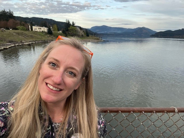
Tess Danielson
My favorite part of the job is the variety. Having several responsibilities keeps it interesting and no part of it becomes too onerous. I love working outside and getting familiar with every wetland we are protecting in the District. It is an extra special field day when we spot more elusive wildlife, like beavers, salamanders, owls, or eagles. It is also nice knowing the next day I’ll be in the A/C away from the mosquitoes. Writing my Master’s Thesis was a major pre-professional accomplishment. I am a very slow writer, so it was a painstaking process. It did teach me what I wanted to do next as a young professional, and that I needed a break from research and writing. What is your favorite wetland species? Why? It is very basic, but the red-winged blackbird may be my favorite wetland species. Its song is so reminiscent of my time spent in wetlands at the Jersey shore, near my home in the DMV, and in the Gulf of Mexico in Louisiana and Florida. When I hear it, I’m reminded of sunny days out in the field. My wonder for the water started from family vacations to the beach and school field trips to the Chesapeake Bay, and I knew by middle school that I wanted to be a marine biologist. Science was always the most fascinating subject for me, and an “oceans” class really solidified that. I enrolled in Eckerd College, the premier spot to study marine science (I may be biased). My courses there deepened my interest in ecology and my labs taught me I was more adept at studying plants than live animals. Living in Florida opened my world to mangroves and so I set out to study them. LSU offered a great graduate opportunity, and my research was based in the Florida Everglades mangrove forests. I wanted to continue my career in wetland work because I thought they were so undervalued for such impressive ecosystems. What advice do you have for someone interested in getting started in wetlands work? I joined NAWM in 2022 when I started in the Regulatory Review Division at DOEE. I have been a member of other professional networks and have attended the conferences, but they could feel intimidating, and the sessions were not always relevant. I like that NAWM is specific to wetlands but still has a broad collection of wetland professionals from different fields and states and tribes to learn from. The annual meetings are a welcoming place, and the after-session gatherings are a fun and casual way to connect with everyone in the wetland community.
 Tess Danielson works for the District of Columbia Department of Energy and Environment in the Regulatory Review Division. Her responsibilities include regulating the District’s wetlands and streams, as well as assisting with wetland monitoring and assessment and leading wetland outreach initiatives.
What is your favorite part of your job?
What is one of your biggest professional accomplishments? How did you end up working in wetlands?
 I give a presentation to students that participate in DC’s Green Zone Environmental Program, and what I tell them is that there are many sectors that can involve wetlands work. Education, research, recreation or ecotourism, policy, consulting, and regulation are just some of the fields that can have a wetland focus. If you want to work in wetlands, there is more than one way to do it, so find what you like and what you excel at!
How long have you been a member of NAWM? How have you participated in NAWM?
Terry Doss
Terry Doss is the Co-Director for the Meadowlands Research and Restoration Institute at the New Jersey Sports and Exposition Authority. Who do you work for and what is your current position? I work for the State of New Jersey, within the New Jersey Sports and Exposition Authority, serving as the Co-Director for the Meadowlands Research and Restoration Institute. I lead efforts to preserve, protect and restore the wetlands and other habitats located in the Hackensack Meadowlands. The favorite part of my job is any day that I get to go out on the water. I much prefer a beautiful sunny day with warm temperatures, but even in winter I love the idea that we are out on the water when few else are out there. Each time we head out, there is an air of anticipation – you never know what new or interesting thing we are going to see in the tidal marshes that line the Hackensack River, but there is always something. Also, experiencing the quiet and solitude of nature, in the chaotic din of the NY-NJ metropolitan area with planes, trains and automobiles whizzing by, is just magical. I think one of my biggest professional accomplishments was being able to survive and thrive as a working mother. I’m so proud of my grown sons, and hope they are as proud of me as I am of them. We were always in this together, and I loved bringing them out to the field – my older son was out in the field for a wetland delineation at three months of age and, flash forward many years, my younger son was out planting floating wetlands with me when he was home for college just a few years ago. I never tried to separate my career from my home life, I never thought there was enough time in the day for that luxury, so we had to be in it together. I love tidal wetlands, they are like poetry in perpetual motion. They are where the land meets the sea, ever changing, known but yet unknown, settled yet shifting. They allow for expansive views – of the grasses, the sea, the sky, the wildlife. But because they are both land and sea, they are so often misunderstood, mistreated, maligned. I never knew what I wanted to be when I grew up, but I knew I liked working outdoors and that I wanted to work and live near the water. I graduated from U of Delaware with a degree in Agricultural Sciences with a focus on Natural Resource Economics, but wasn’t sure where to go with that. A few years later, I went back to Delaware to work on a Masters in Marine Policy, combining my interests in the water, the outdoors and economics. While there, I became interested in the valuation of wetlands, and from there dove deep into the science of wetlands. Every job I had, starting with the National Ocean Service at NOAA and then moving into private consulting, there were always opportunities to get more involved with wetlands and I jumped at every one of them. To expand my knowledge, I took wetland field courses from Environmental Concern and the Continuing Education Program at Rutgers, which allowed me to study under some of the giants in the wetland science field, and I joined and became active in scientific organizations like Society of Wetland Scientists and the Society for Ecological Restoration. The more people I met and spoke with, the more my opportunities expanded. Look for opportunities that you think you will enjoy to expand your knowledge and your circle of contacts. Go to conferences, and if there are volunteer activities, sign up. Join non-profit organizations and get involved. Become a member of different scientific societies and assist with meetings, field trips, raising funds, …. There is no magic bullet as to what will stick, so try everything and see what gives you experience while also making you happy. I believe that I have been a member of NAWM since the early 2000s. In 2001, I attended a meeting on behalf of the Society of Wetland Scientists and met up with Jeanne Christie who was there on behalf of ASWM (now NAWM) and we started talking about connecting the two organizations in a more meaningful way. Eventually, a Memorandum of Understanding was signed by both groups to coordinate and collaborate, and I acted as the liaison between the two groups for a while. (Not sure if this MOU is still active.) Even though I was not a “state wetland manager” until 2018, I was able to attend a number of the annual meetings and other events along the way. I am most grateful for all of the webinars offered by NAWM. While the in-person meetings are the best way to keep in touch and learn, the constancy of the webinars keeps me in touch with what is going on around the nation on a more day-to-day basis. For example, after the Sackett decision, the discussions on what happens next were especially helpful for us here in the Meadowlands, because even though NJ has assumed jurisdiction for the wetlands of the state, that did not include the wetlands of the Meadowlands. It was helpful hearing from others about the different aspects, experiences and possible actions. My favorite memory was my first NAWM meeting at the National Conservation Training Center in Shepherdstown, WV. I assume this was sometime in the early 2000s. I had no idea what to expect, and at first it seemed like most meetings. But then, I went to the bonfire. It was an incredible experience and a great way to bring everyone together. Nothing specific, just an all-around great vibe and a great opportunity to relax with many like-minded wetland scientists.
What is your favorite part of your job?
What is one of your biggest professional accomplishments?
All these years later, it is amazing to head out to my first tidal wetland restoration site that our team worked on 25 years ago and see how it is flourishing. I remember bringing the boys out there before, during and after the restoration work. Now, 25 years later, the site is amazing – for the first time this year, we heard saltmarsh sparrows out there. I’m proud of that!
What is your favorite wetland, or type of wetland, or wetland species? Why?
Working in the Meadowlands really drives this home – all the abuses that have been thrown at the tidal wetlands along the Hackensack River over the past two hundred years, and that continue to be thrown at them. Yet they persist, they thrive, they are resilient, and they continue to provide habitat, protection, recreational opportunities. After giving a presentation on the Meadowlands’ marshes a few years ago at a MAWWG meeting, someone came up to me and said, “wow, the Meadowlands’ wetlands are really bad ass!” And I couldn’t agree more, they are bad ass and that is why they are my favorite. How did you end up working in wetlands?
What advice do you have for someone interested in getting started in wetlands work?
How long have you been a member of NAWM? How have you participated in NAWM (e.g., attended webinars, contributed to project workgroups, attended annual meeting, etc.)?
What is your favorite benefit of being a member of NAWM?
What is your favorite NAWM memory?
My second favorite memory was sitting with Jon Kusler on a porch somewhere at some point in time after a long day of meetings, and listening to him talk about his vision for wetland science into the future. Being able to have discussions with great minds like Jon Kusler and Jeanne Christie were, for me, amazing opportunities that were only made available through NAWM.
Anne Garwood
Anne Garwood works for the Michigan Department of Environmental Quality, Water Resources Division. She is the Supervisor of the Wetlands, Lakes and Streams Unit, which provides statewide program oversight of Michigan’s Section 404 Program, as well as other technical expertise, training, and program development. What is your favorite part of your job? This is a tough question, as there are really two things for me: First, I really work with some of the most passionate, intelligent, and committed people anywhere. There are a lot of challenges in our work, but being a part of this amazing team of people really is one of the very best things about my job. My other favorite thing is really just getting to visit and protect amazing wetlands, lakes and streams all across Michigan. I know that my work is genuinely contributing to the people of Michigan, through protecting these important resources, and I am lucky enough to get to explore so many of these diverse wetlands. What is your favorite wetland? Why? Great Lakes coastal wetlands, of all kinds, are my favorite wetlands. I focused for a number of years on coastal wetlands, specifically, and was lucky enough to visit hundreds of coastal wetlands, on all of Michigan’s bordering Great Lakes and connecting waters. There are a variety of coastal wetland types including coastal fens, marshes, drowned river mouths, etc., but they are all amazing. Visiting these wetlands is unlike other site visits, because of the fish, birds, and overall coastal aesthetic. Definitely my happy place. How did you end up working in wetlands? When I was working on my undergraduate degree at Michigan State University, I applied for some student assistant positions with the state. I applied for them in a variety of divisions and areas (water, air, waste, etc.) but ended up getting hired for a position in the wetlands program, and realized quickly it was a great fit for me. Following my student position, I was hired as a seasonal contractor doing wetland delineations, and then finally got a permanent position in a District Office reviewing permit applications. I’ve been in the program ever since. All of us who work in wetlands management - including regulators, consultants, restoration groups, academics, advocacy, and others – are actually working together, even when it seems like we’re all separate. My advice would be to try anything in the wetlands field, even if it’s outside of your comfort zone. We all make a difference, and can find ways to work together. Even if you’ve got experience in research, and that’s your comfort zone, take opportunities if they arise in advocacy or regulatory. I have been a NAWM member since 2011. I have attended many webinars and several annual state and tribal meetings. I participated in some past workgroups including the Assumption workgroup. I have presented in several NAWM webinars on Michigan’s 404 Program and wetland monitoring, and I participated on a panel discussion for one of the past NAWM annual meetings. What is your favorite benefit of being a member of NAWM? The newsletters and webinars. What is your favorite NAWM memory? Hiking along the trails at NCTC.
What advice do you have for someone interested in getting started in wetlands work?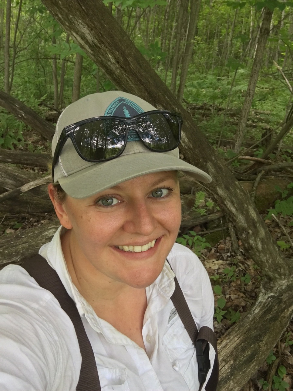 How long have you been a member of NAWM? How have you participated in NAWM?
Dave Goerman
Dave Goerman works at the Pennsylvania Department of Environmental Protection in the Bureau of Waterways Engineering and Wetlands’ Division of Wetlands, Encroachments, and Training, where he is a Water Program Specialist. What is your favorite part of your job? I am actively engaged in advancing the state of restoration science through facilitating research, development of design approaches, and making recommendations to project sponsors as part of the permit approval process. More recently I have begun developing our own large-scale restoration projects, which provides the ability to push the boundaries of restoration science. What is one of your biggest professional accomplishments? I think I take pride most in being able to facilitate a lot of advances getting done. Getting the program’s aquatic resource Level 2 Rapid Assessment procedures published final is one, getting the modeled wetland mapping and restorable lands would be another. Most recently getting the Level 2 Geomorphon mapping done is another one, it’s going to provide baseline data on looking at watershed alterations and relating other resource data possible. What is your favorite type of wetland? Why? Restored floodplain wetlands. I like them because they have an initial flush of plant diversity, and they keep changing over the next few years as the species find their preferred micro-habitats. How did you end up working in wetlands? I had applied mostly for the jobs under the water pollution biologist class, and most were in the wetlands and waterways permitting program, but honestly at the time, I did not know wetland regulations existed! I was one of the last people hired into the program when they decentralized the permitting across the state. I like to say I got the cat’s meow job as I would later learn. That’s why I have stayed in it for so long. I would highly recommend they take the time to become more interdisciplinary. Learn some more about geosciences like geology, hydrology, geomorphology, not just wetland ecology. I’ve learned more insights about wetlands by learning about these other disciplines. How long have you been a member of NAWM? How have you participated in NAWM? I have been a member off and on since the late 1990’s as part of ASWM state membership. Unfortunately, our agency did not always pay our membership dues so we would get dropped here and there. I do attend webinars occasionally and have contributed on a few workgroups and attend the annual meetings when I can. What is your favorite benefit of being a member of NAWM? The like-minded people! The connections that are made through the meetings I think are my favorite part of being a member. What is your favorite NAWM memory? Having a few drinks and conversation around the fire pit.
What advice do you have for someone interested in getting started in wetlands work?
Etinosa Igunbor
What is your current position? Currently, I serve as a research assistant at Old Dominion University, where I am partnering with other professional and research institutions to conduct applied research on coastal wetland restoration, with a focus on vegetation and soil characteristics changes over time, and the ecological performance of living shorelines in the Chesapeake Bay. My research integrates geospatial analysis, field monitoring, and modeling to advance resilience-based shoreline management. Previously, I served as a Forest Conservation Officer at the Edo State Ministry of Environment and Sustainability in Nigeria, where I led policy and field-based initiatives in forest and wetland conservation. I also head the LEAD Sustainability Team in Western Colorado University, which I founded to drive institutional climate strategies and environmental sustainability programs. What is your favorite part of your work? My favorite part of my work is engaging directly with diverse stakeholders, scientists, policymakers, practitioners, and local communities through research, education, and advocacy. I find great purpose in translating scientific findings into actionable insights that inform wetland policy and restoration practice. Whether in the field, the lab, or a public forum, I’m passionate about building bridges between science and society to advance environmental resilience. One of my most significant professional accomplishments was developing a spatially explicit model to estimate carbon sequestration potential in restored wet meadows, which was accepted for presentations at several national and international conferences. The model integrated field data, soil analysis, and geospatial tools to quantify climate mitigation benefits of wetland restoration. This work not only contributed valuable insight to the science of ecosystem services but also demonstrated the practical value of restoration investments. I believe this innovative contribution played a key role in earning me the Jon Kusler Award for the National Association of Wetland Managers meeting in 2025, recognizing my unique contribution in wetland science and policy. What is your favorite type of wetland? Wet meadows are my favorite wetland type because they are small yet critically important ecosystems. They play a disproportionate role in carbon sequestration, water retention, and biodiversity support, despite often being overlooked in larger conservation narratives. My connection to wet meadows deepened during the development of a carbon sequestration model for restored sites, an experience that underscored their value in climate mitigation and landscape resilience. Their quiet complexity and ecological significance continue to inspire my research and advocacy. How did you end up working in wetlands? I began in the field of landscape restoration while serving as a Forestry Officer in Nigeria, where I witnessed firsthand the ecological and social importance of forested wetlands. That experience sparked my interest in wetland processes, leading to graduate research in the U.S. on carbon sequestration, wetland restoration, and shoreline ecology. Today, I combine international field experience with cutting-edge research to improve wetland management. What advice do you have for someone interested in getting started in wetlands work? I’ve been a member of NAWM since 2024. I actively engage in webinars, technical training, and use NAWM’s resources to support my research and stakeholder engagement. I am currently pursuing opportunities to contribute to project workgroups focused on coastal resilience and restoration monitoring, where I can bring both field and policy experience. What is your favorite benefit of being a member of NAWM? NAWM’s ability to convene professionals across sectors is its greatest strength. It serves as a trusted platform for accessing technical tools, policy guidance, and collaborative learning. For someone like me working across continents and disciplines, NAWM offers both relevance and reach connecting research to real-world wetland outcomes.
 Etinosa Igunbor is a research assistant at Old Dominion University and a recent recipient of the Jon A. Kusler Student Scholarship Award.
What is one of your biggest professional accomplishments? I would say start with curiosity and build interdisciplinary skills, especially in ecology, GIS, environmental modeling, and science communication. Wetland work spans science, policy, and community engagement. Get involved early through volunteer projects, fellowships, and professional networks like NAWM. Seek more collaboration, mentorship and never underestimate the value of real-world experience combined with academic rigor.
How long have you been a member of NAWM? How have you participated in NAWM?
What is your favorite part of your job? I get to work closely with the natural resources and our stakeholders to maintain clean water in the state. What is one of your biggest professional accomplishments? Passing Ohio’s first set of stream rules for CWA Section 401 permitting and mitigation. What is your favorite wetland or wetland species? Why? I love all wetlands for their unique functions and biodiversity; many species make me giddy but these 4 come to mind first: Buttonbush (Cephalanthus occidentalis), Spicebush (Lindera benzoin), Queen of the Prairie (Filipendula rubra), and Turtlehead (Chelone glabra). How did you end up working in wetlands? I started work in wetlands as a volunteer board member for the Beaver Creek Wetlands Association in Dayton, Ohio and went into consulting from there. Know your plants and soils and the reasons why wetlands are protected. How long have you been a member of NAWM? How have you participated in NAWM? I have been a member for about 3 years now and have attended many webinars, presented at one, and have attended one annual meeting so far. What is your favorite benefit of being a member of NAWM? The access to valuable resources provided by NAWM and networking with other wetland professionals. What is your favorite NAWM memory? Attending the annual meeting in Stevenson, WA.
Anna Kamnyev works for the Ohio Environmental Protection Agency where she manages the state’s program regulating fill impacts to wetlands, streams, and lakes.
What advice do you have for someone interested in getting started in wetlands work?
Laura Lapierre
What is your favorite part of your job? Seeing the tangible positive impact my group has made on the Vermont landscape, whether it’s seeing a fence line separating a development from the wetland buffer or a restoration project filled with native plants and wildlife. I love knowing that the many small successes add up across the landscape. Getting seven new wetlands designated with Class I protections. Before the program had the ability to initiate rule changes, there were only three wetlands with the state’s highest level of protection. What is your favorite wetland species? Why? One of my many favorite wetland species is Carex leptalea, it is so tiny and sweet. It was the first really small sedge I keyed out by myself and I loved the discovery of it and its habitat. How did you end up working in wetlands? In school, I was most interested in biodiversity. Wetlands are the best places to study biodiversity! I ended up studying sedge niche partitioning in grad school and found out I could make a living studying and managing wetlands. Join your local wetland organization and volunteer. It’s a great way to see the different directions you can take with wetland work and networking. How long have you been a member of NAWM? How have you participated in NAWM? I’ve been a member for 11 years. I’ve attended many of the annual coordination meetings, contributed to a workgroup or two, and have presented and attended NAWM webinars. What is your favorite benefit of being a member of NAWM? Getting out of my state silo! I love seeing what other states and tribes are up to, feeling their struggles and successes, and receiving appreciation of our collective work. This puts wind back in my sails to continue the push to protect and manage our wetland resources. What is your favorite NAWM memory? Being a part of the capacity building workgroup. We all have capacity issues and it felt great to problem solve the issue and provide guidance for other wetland managers.
 Laura Lapierre is the Wetlands Program Manager for the Vermont Department of Environmental Conservation.
What is one of your biggest professional accomplishments?
What advice do you have for someone interested in getting started in wetlands work?
Janice Martin
All wetlands are so uniquely beautiful. I love stomping around in my hip waders in the tidal flats amongst the marsh wrens and their carefully woven cattail nests. I find great pleasure in a forested wetland that is barely recognizable as a wetland if it were not for the swamp lanterns and buttressed tree roots, hiding pools of high ground water. My favorite has to be the peat bogs that have become a spiritual respite for me. The quiet is incredibly spiritual. I am able to connect with why I do this work between mounds of sphagnum moss, cranberries and the fragrant dusky smell of Indian Tea. How did you end up working in wetlands? I used to go hiking a lot. I liked to identify the plants. I went back to school at the ripe age of 30 and studied botany at the University of Washington. Learning about policy, the Clean Water Act and the scientific underpinnings provided the bait and I was hooked. Thanks to people like Kern Ewing, Linda Storm, Estella Leopold, and Sarah Cooke just a few of my mentors who went before me. As I hope to share with a Quinault Youth who will carry the torch into the next generation. Volunteer. Shadow Professionals. Come prepared, with questions “what do you like/not like about your work and why?”, “What would you do differently?”, How did you get here?”. There are so many avenues to take. Get excited, and don’t do anything for the money. It won’t make you happy. It never has. I was a member of the ASWM (Association of State Wetland Managers), before they became NAWM. Approximately 2018. How have you participated in NAWM (e.g., attended webinars, contributed to project workgroups, attended annual meeting, etc.)? I have attended webinars, annual meetings and have presented a webinar or two for the group. What is your favorite benefit of being a member of NAWM? The webinars, the recorded webinars that are available to members, the workshops and the trainings. What is your favorite NAWM memory? “Changing the Narrative” the unveiling. There is so much more we can do through social media and education for the non-wetland person.
 What is your favorite wetland, or type of wetland, or wetland species? Why?
What advice do you have for someone interested in getting started in wetlands work?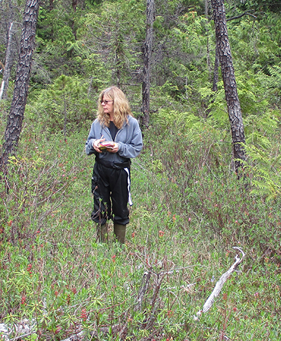 How long have you been a member of NAWM?
Karen Menetrey
Karen Menetrey works for Rio Grande Return, a 501c3 non-profit organization that specializes in low tech process-based restoration for riverscapes and other ecosystems unique to the arid southwest. What is your favorite part of your job? My job title is Director of Ecological Opportunities, which reflects my optimism and enthusiasm for supporting all aspects of our organization’s work. We primarily conduct on-the-ground restoration projects, but we are increasingly more involved in water planning, advocacy and policy. My favorite part of my job is organizing volunteers and teaching them to build beaver dam analogs in high elevation headwater streams. The hydrologic response is so immediate and satisfying! Volunteers understand how reconnecting the floodplain and creating wetlands creates a healthier riverscape, and there is innate pleasure derived from building with wood and sediment in a stream. What is one of your biggest professional accomplishments? My biggest professional accomplishment was managing the New Mexico River Stewardship Program at the New Mexico Environment Department for 12 years, through periods of time when funding was insecure. With dozens of dedicated partners, the program completed about 80 river and wetland restoration projects. It was recognized as a successful program when recurring state funding was authorized in 2023 (NM Land of Enchantment Legacy Fund) and is now a securely staffed program with increased annual funding. What is your favorite wetland, or type of wetland, or wetland species? Why? My education was in geology and ground water hydrology. Professionally, I journeyed from protecting ground water, to restoring streams and wetlands, to cleaning up ground water contamination, then back to streams and wetlands. Wetlands intrigue me because they occur at the intersection of surface and ground water. I have two favorite wetland types: 1) beaver-dominated wetlands because they are so dynamic and biodiverse, and 2) ciénegas (desert springs) because water-rock interactions create unique water chemistry and plant assemblages that can result in beautiful oases. My advice to someone wanting to get involved in wetlands is to learn about wetland plants, recreate near wetlands, and do field work, whether it is volunteer or paid work! How long have you been a member of NAWM? How have you participated in NAWM? I have been a member of NAWM consistently for four years. My favorite benefit is the annual meetings. I enjoyed presenting, being on panels, connecting with wetland scientists from around the country, and seeing wetlands in West Virginia, Nebraska, and Washington during the annual meetings. I’m also enjoying being a mentor in the MARSH Mentor program.
 What advice do you have for someone interested in getting started in wetlands work?
Tonie Mitchum
Tonie Mitchum works for the City of Albany, Georgia, as a Planner II and was a 2025 recipient of the What is one of your biggest professional accomplishments? My biggest professional accomplishment so far is becoming a Certified Floodplain Manager (CFM). Although the test was difficult, it was great to see that my studying paid off and I get to make an impact in the community that keeps people and properties safe, and I directly benefit from my work because I live in the 100-yr floodplain. As a person with an environmental science background who enjoys policy, this type of work is right up my alley! Floodplains and wetlands go hand in hand. What is your favorite type of wetland? Why? My favorite type of wetland is either a blackwater swamp or bottomland hardwoods. It is cool to live in Georgia where we have the largest blackwater swamp in North America which is the Okefenokee (also one of the seven natural wonders of Georgia). It is a certified dark sky park, and I love to camp there! The second largest swamp in Georgia, the Chickasawhatchee, is right outside of my city. I enjoy being able to go out and explore these areas and take in all the beautiful biodiversity. It gives me a greater appreciation for where I live and what I do. How long have you been a member of NAWM? How have you participated in NAWM? I have been a member of NAWM since 2024! I try to attend as many webinars as I can (and soon plan to take the hydric soils course), I have attended an annual meeting and participate in the NAWM outreach and communications committee. What is your favorite benefit of being a member of NAWM? I love being able to learn new things and bring it back to the office to share with my colleagues and just people in my day-to-day life. It is also great being able to connect with such awesome people who share similar professional and personal interests with me! What is your favorite NAWM memory? My favorite NAWM memory is having the wonderful opportunity to be selected as Kusler Scholar and attending the 2025 State/Tribal/Federal Coordination meeting in Stevenson, Washington. It was my first time in the Pacific Northwest, and I was in awe at the landscape! The presentations given at the conference were amazing and the lesson of being resilient like salmon is something that still sticks with me today. I can’t wait to head to Shepherdstown in April!
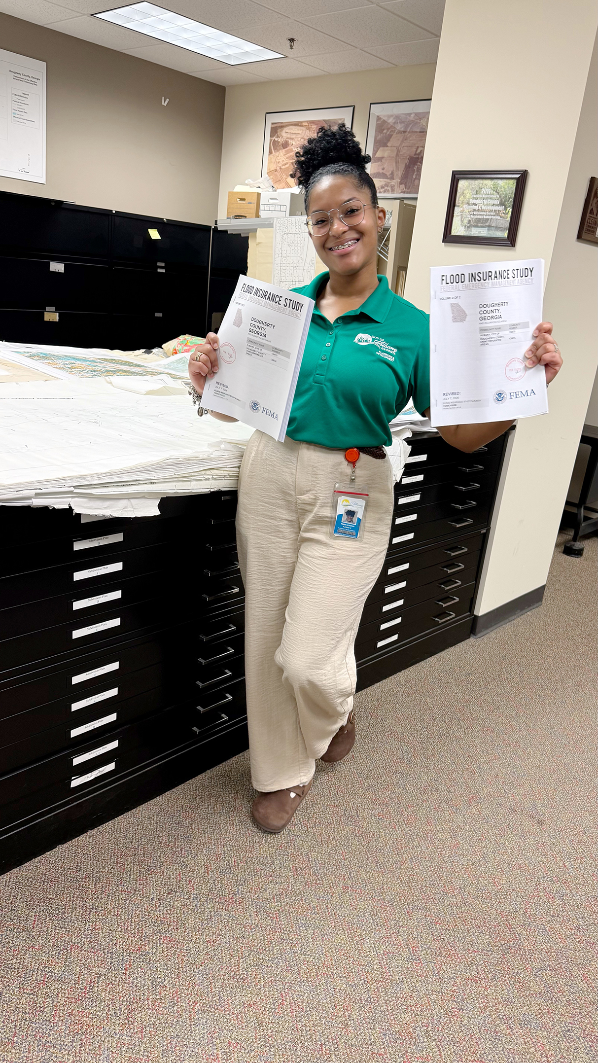
Jon A. Kusler Student Scholarship Award.
Katie Morgan
My favorite part of my job is teaching, training, and mentoring junior staff in wetlands fieldwork. It’s incredibly gratifying to see their skills grow and their confidence build over time. Whether it’s guiding them through the intricacies of wetland delineation, helping them interpret regulations, or watching them take ownership of projects, I take pride in knowing I’m contributing to their professional development. It’s rewarding to see how their growth not only benefits our team but also strengthens the quality of the work we deliver. One of my biggest professional accomplishments has been building the wetlands practice at Partner from the ground up. When I first started with Partner, there was no formal wetlands program—it was just my passion for wetlands and a vision. Through hard work, persistence, and a passion for wetlands science, I laid the foundation, gradually growing it into the nationwide practice it is today. It’s been incredibly rewarding to watch something I started from scratch become such a vital part of what we do at Partner. Along the way, earning my Professional Wetland Scientist (PWS) certification and becoming a Certified Wetland Scientist in Lake County, IL were pivotal milestones. They not only strengthened my expertise but also helped solidify the credibility of the practice I worked so hard to build. Seeing the impact of our work across the country has been an amazing journey and one of the highlights of my career. My favorite wetland species is the American Sycamore (Platanus occidentalis). I’m captivated by its stunning bark and massive leaves—there’s nothing quite like the way it sheds its bark each year, leaving behind a beautifully painted trunk that looks like a natural masterpiece. Another fascinating aspect is that many American Sycamores are hollow, which makes them perfect nesting habitats for various wildlife species. It’s amazing how this tree plays such an integral role in both the ecosystem and the landscape’s beauty. It wasn’t until my first job in the consulting industry that I discovered wetlands as a career path. One of my first assignments was assisting with fieldwork at a large wetland mitigation bank in the Tennessee River Valley. I still remember measuring piezometers and taking hydrology readings—it was fascinating to see how everything connected, from the soil to the water to the plants. That project was my ‘aha’ moment. From then on, I sought out every chance to work in wetlands, eventually training in wetland determinations and delineations. That first experience sparked a passion that has shaped my career ever since. If you’re interested in getting started in wetlands work, my advice is to dive in wherever you can and stay curious. If you are still in college or have the opportunity to take classes in plant identification, soil science, or hydrology they will help immensely. Volunteering is also a great way to gain experience and build connections. Join local conservation groups, participate in restoration projects, or assist with community science efforts like wetland monitoring programs or BioBlitz. Internships or entry-level jobs in environmental consulting or natural resource management can provide hands-on experience, which is invaluable in this field. Don’t be afraid to ask questions and seek mentorship from experienced professionals—many of us are passionate about sharing our knowledge and helping others grow. Field experience is especially important, so take every opportunity to get outside, whether it’s assisting with wetland delineations, monitoring projects, or restoration efforts. Finally, pursue certifications like the Professional Wetland Scientist (PWS) or local certifications when you’re ready—they not only enhance your expertise but also open doors to more advanced opportunities. My favorite part of being a member of NAWM is the community. It's incredible to connect with like-minded professionals who share a passion for wetlands. The training and learning opportunities are always valuable, keeping me up-to-date on the latest in wetland science. What I truly appreciate, though, is being part of an organization that’s making a real difference in the field. It feels good to contribute to something so impactful. My favorite NAWM memory has to be from the 2023 annual meeting in Nebraska. After a full day of sessions, we gathered around a campfire and shared stories about our most exciting days in the field, about goats and how they’re surprisingly awesome for managing invasive species, getting to know everyone, discussing the nitty gritty of the new (at that time) HUD regulations regarding EO 11988 and EO 11990, and quizzing one of the experts on plants that I get stuck on in the field – they were so helpful and now I will always remember the differences between a swamp magnolia and southern magnolia.
What is your favorite part of your job? Teaching others the science of wetlands – I am pretty passionate about wetlands in general, so any time I have the opportunity to educate others on their importance, I do! Whether they want to hear it or not, lol. What is one of your biggest professional accomplishments? Starting my own company to get back to the core of what I love about environmental consulting – having the ability to make a difference in how we approach projects to function with nature, rather than try to engineer a way to overcome it. What is your favorite type of wetland? Why? I love an Eastern hemlock and red maple swamp. The peacefulness and uniqueness of the landscape within these wetlands draws me in every time. I could spend all day just listening to nature there. They are also amazing for raptor sightings, which when you love Cooper’s hawks like me, that is an added bonus! They are still present in the Pocono Plateau where we do a lot of our work, and we are starting to see eastern hemlock saplings take hold following areas of devastation from wooly adelgid. I give credit to my love of aquatic ecology to one of my undergrad professors, Dr. Frank Kuserk. From there, I was hired by an environmental consulting firm that completed quite a bit of work in the water resource development industry. My role in that space was to assist in evaluating surface water and wetland interactions against the proposed groundwater withdrawals to ensure the projects did not present any adverse impacts to the surface waters and wetlands. It became a unique niche that I still work in today. What advice do you have for someone interested in getting started in wetlands work? Take the time to explore different internships or volunteer opportunities that will expose you to the various work conditions, types of projects, and varied careers in wetland science. There are so many ways a background in biology, ecology, environmental science, can be applied to a career in wetland science. I had the opportunity to do several field studies as an undergraduate, mostly in stream ecology. I also interned with The Nature Conservancy, completing invasive species mitigations and teaching summer courses to children on local wildlife and their habitats. If you are in a remote area where perhaps internship opportunities are limited, reach out to NAWM or SWS and find a local wetland scientist in your area to shadow. How long have you been a member of NAWM? How have you participated in NAWM? At least 4 years, I believe. I have attended webinars and my employee has completed the hydric soils training series to enhance her knowledge. What is your favorite benefit of being a member of NAWM? The access to unique webinars that showcase challenges others are facing in wetlands throughout the country.
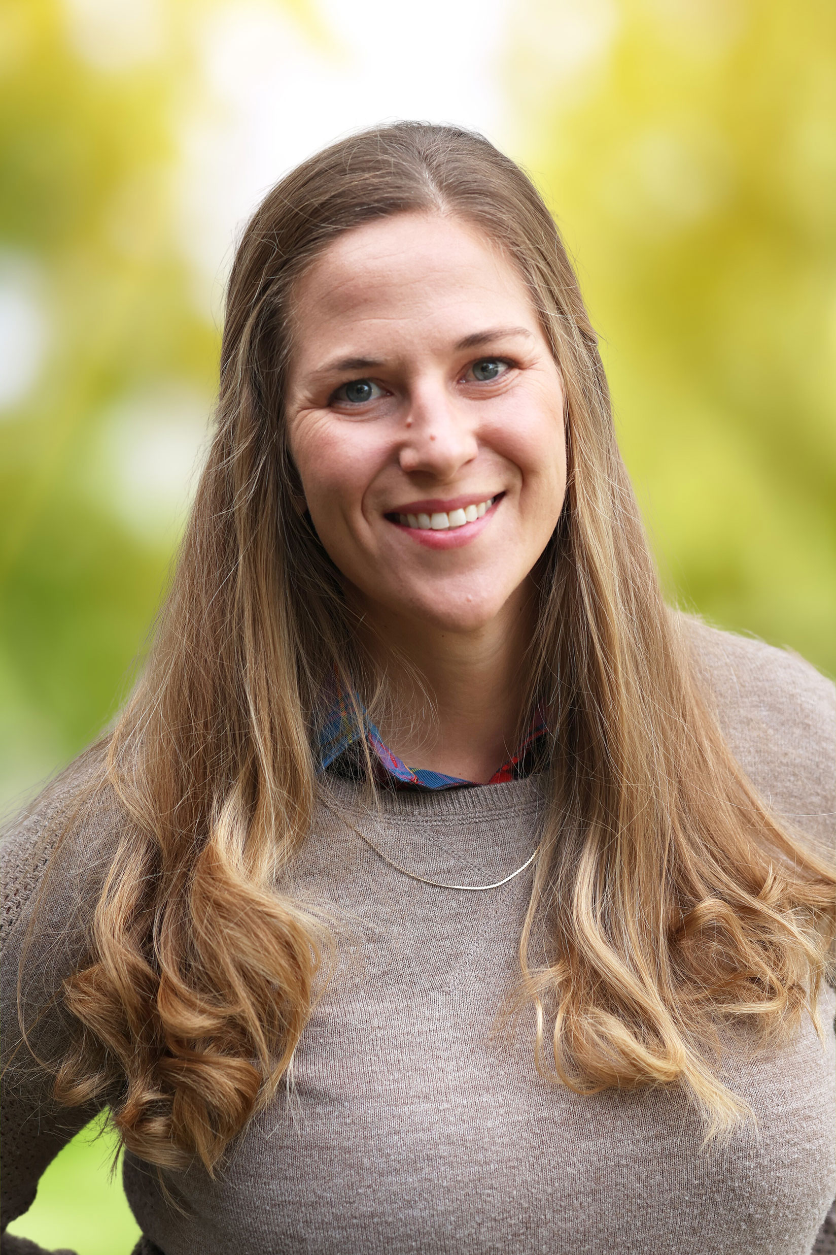 Katie Morgan, PWS, EP is the Director of Natural and Cultural Resources at Partner Engineering and Science, Inc. She also serves on NAWM’s Finance Committee.
What is your favorite part of your job?
What is one of your biggest professional accomplishments?
What is your favorite wetland species?
How did you end up working in wetlands?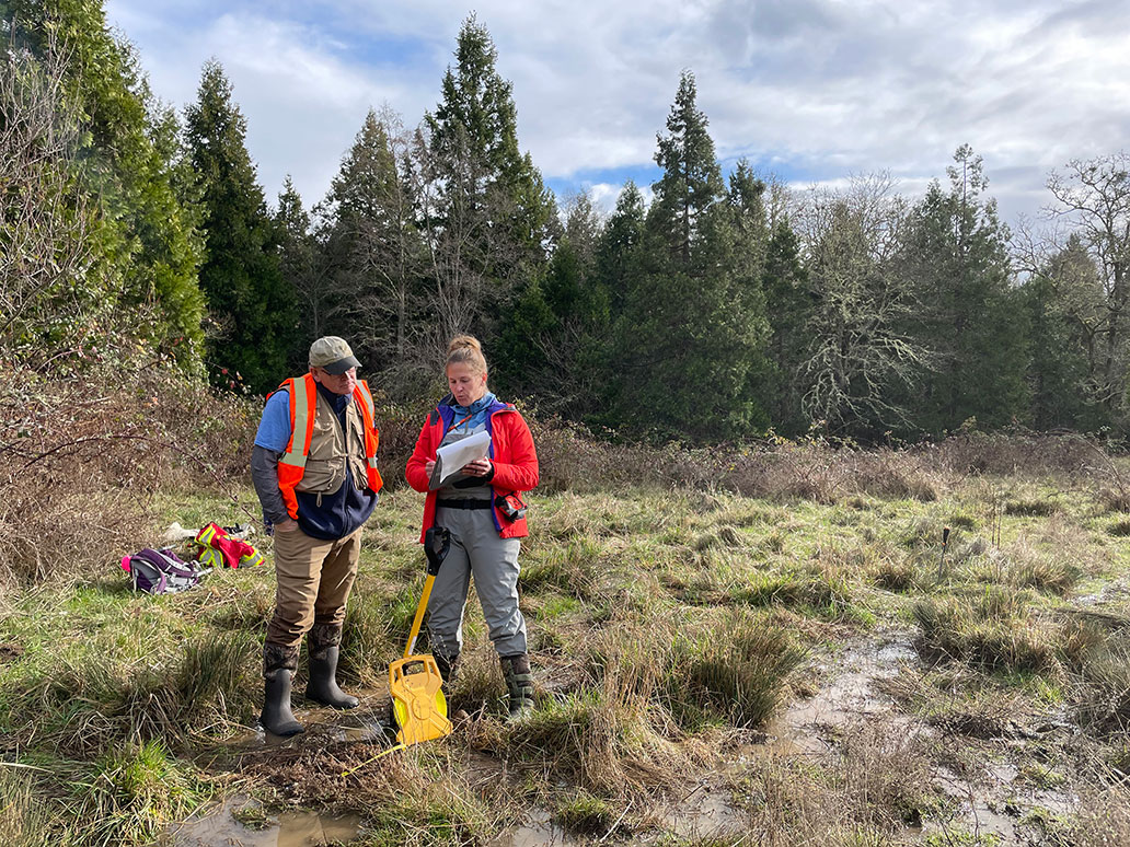 Growing up, I always wanted to be a marine biologist. I was fascinated by water and everything that lived in it, but I had no idea the world of wetlands even existed. In college, I followed my passion for fish and water, diving into any class or research opportunity I could find that focused on freshwater or saltwater habitats.
What advice do you have for someone interested in getting started in wetlands work?
How long have you been a member of NAWM? How have you participated in NAWM?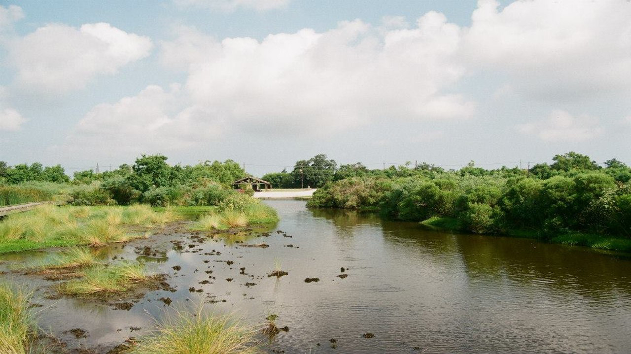 I joined ASWM in 2018 and started attending webinars (especially the soil training modules) right away. I attended my first in person annual meeting in 2023 and have since become a finance committee member.
What is your favorite benefit of being a member of NAWM?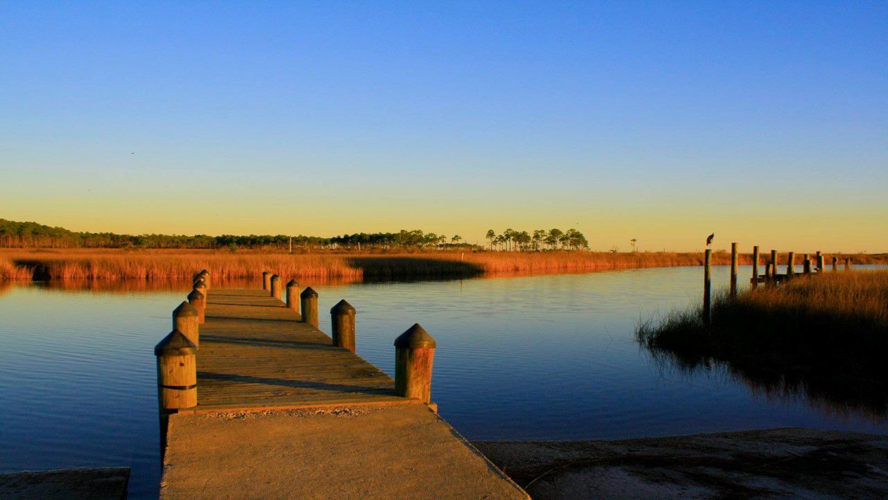 What is your favorite NAWM memory?
Jillian Olsen
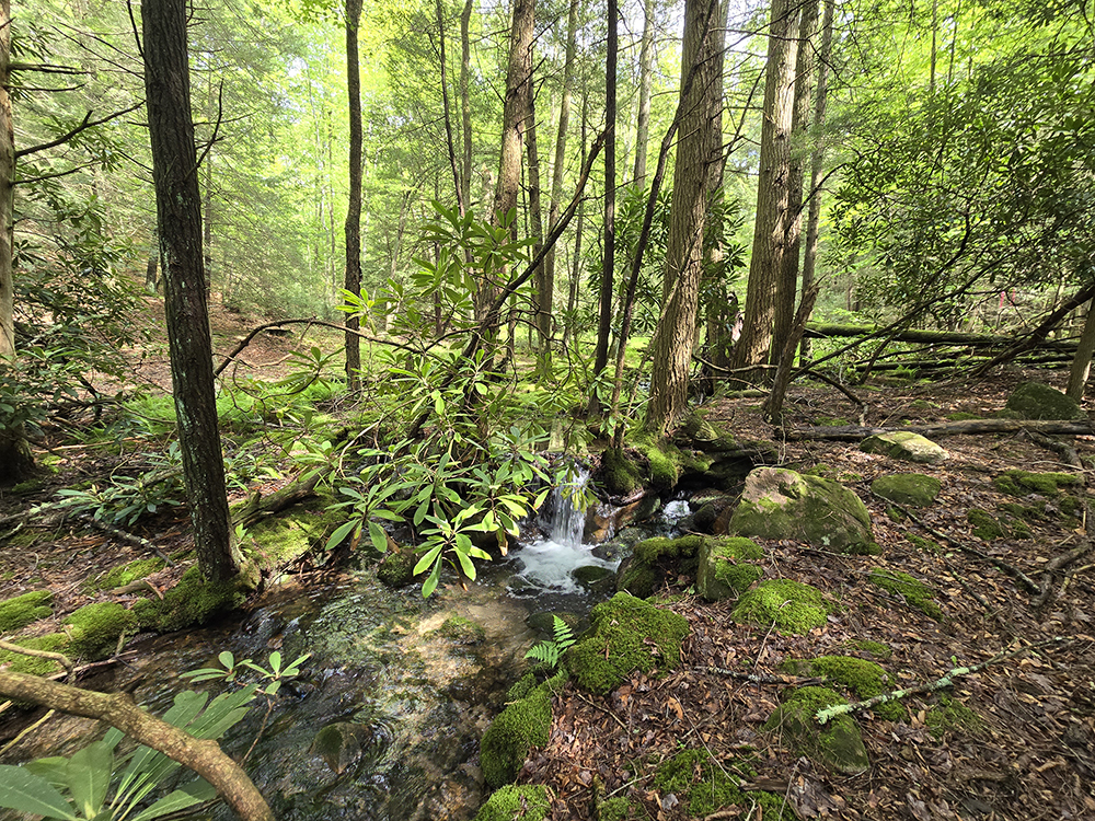
Jillian Olsen is the founder and owner of Cherry Ridge Consulting LLC.
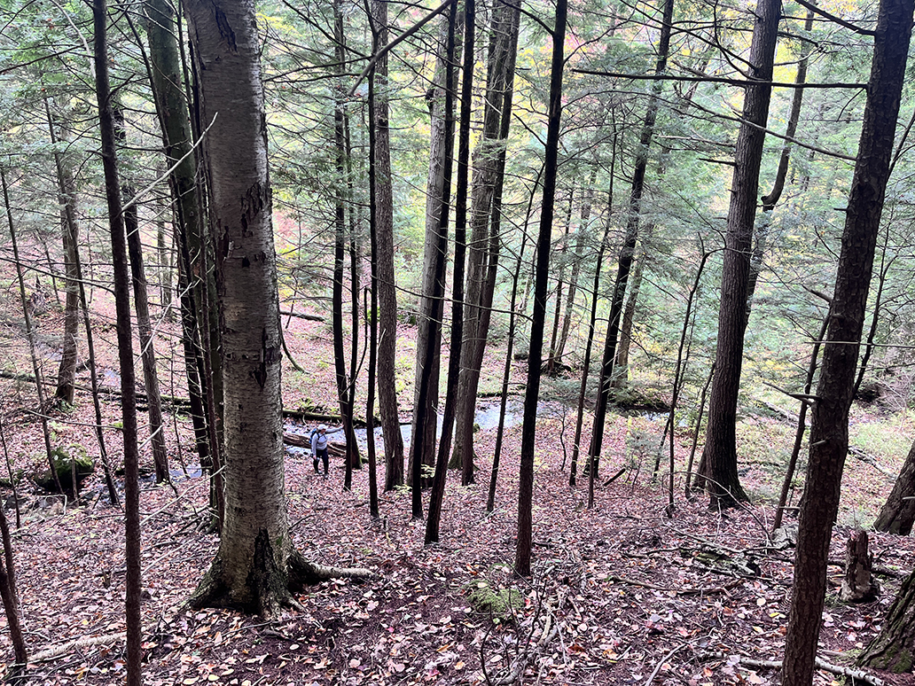 How did you end up working in wetlands?
Tyler Orgon Tyler Orgon is a Biologist and GIS Specialist with the Red Lake Band of Chippewa Indians working in the Water Resources Division of the Red Lake Department of Natural Resources in north-central Minnesota. What is your favorite part of your job? And, what is one of your biggest professional accomplishments? One of the most rewarding parts of my work is the opportunity to act as a researcher, identifying environmental challenges and designing scientific studies that help us understand and address those issues in ways that support the Tribe’s long-term interests. A key part of this work involves partnering with graduate students. These collaborations are mutually beneficial: students gain hands on experience and complete their Master’s degrees, while we gain valuable insights into our most pressing environmental questions. One recent graduate helped us determine that the peatland complexes north of Upper Red Lake contribute eight times more mercury to the Red Lakes than non peatland tributaries, an important finding that is shaping our ongoing monitoring and restoration efforts What is your favorite type of wetland? Why? Working with wetlands, I’ve developed two clear favorites. I’m especially drawn to shallow, open water wetlands, which support an incredible diversity of life and are always full of surprises. I’m equally inspired by the vast peatland complexes north of Upper Red Lake, one of the largest peatland expanses in the United States and rivaling the Florida Everglades in scale. Unfortunately, early 1900s ditching attempts still disrupt hydrology today, and our team is actively working to restore these systems. Although I am not a wetland specialist by formal training, my background is in fisheries, I’ve spent the past 11 years working closely with wetlands through my role with the Red Lake Band. I wear many hats within our Water Resources Division, with wetlands making up roughly a quarter of my responsibilities. Much of our work focuses on mapping wetland extent, but we also partner with state and federal agencies to conduct site specific assessments for broader wetland monitoring programs. What advice do you have for someone interested in getting started in wetlands work? For anyone interested in working with wetlands, my best advice is simple: pack light and bring plenty of water. And if you find yourself in a peatland on a hot day, don’t hesitate to lie back on a bed of sphagnum moss, it’s like resting on a cloud. How long have you been a member of NAWM? How have you participated in NAWM? I’ve been a member of NAWM for several years, thanks to the EPA Region 5 Tribal Wetlands Working Group (TWWG). NAWM trainings and webinars have been invaluable to our work, and the opportunity to learn from and collaborate with other members has helped us navigate many of our wetland challenges. I look forward to attending, and hopefully presenting at, future NAWM meetings where reconnecting with familiar faces and meeting new colleagues continues to strengthen our collective efforts.
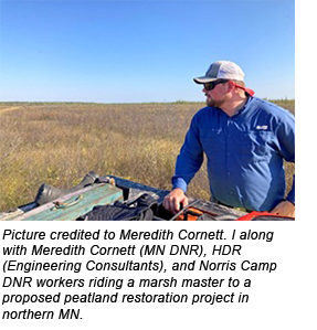
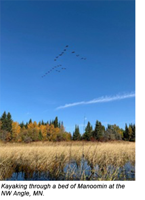 How did you end up working in wetlands?
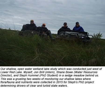
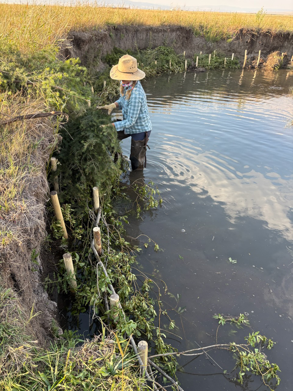
Sara Owen works as a Senior Ecologist for Naturion.
Who do you work for and what is your current position?
I work for Naturion, a mitigation banking company that focuses primarily on stream and wetland banking. I am a Senior Ecologist, and I focus on the monitoring and maintenance of our Montana banks, but I do a little bit of everything from regulatory to construction.
What is your favorite part of your job?
The field work! I am lucky to work in some really cool places, and as a nerd extraordinaire, I get to observe and geek out on plants, bugs, birds...all the things that make wetlands cool. I get to visit these sites over and over, through different seasons, which allows me the opportunity to really get to know these places and see how they change. I got to see a new beaver dam as it was just starting to be built, then saw how the beavers enlarged it over the summer. I also got to build beaver dam analogs for the first time, which was a great learning experience. The beavers poached the willows I placed in the structure, and I don't know if I should be offended or if I offended them. It will be so interesting to go back this spring to see what all they’ve done since last August.
What is one of your biggest professional accomplishments?
I guess it would be what I did for the better part of a decade: contributing wetland mapping to the National Wetlands Inventory. As a data producer I created mapping for over a dozen states, primarily in the West; as a regional coordinator for the NWI program I did QC for at least a dozen more states. In all I've probably been involved with mapping wetlands on a couple hundred million acres all across the US. Knowing how many different entities rely on this dataset and how important this dataset is for wetland conservation, it is satisfying to know I played a part in it.
What is your favorite wetland, or type of wetland, or wetland species? Why?
This is an impossible question to answer, and I refuse to pick one. Having said that, my favorite wetland is probably the one I'm standing in (there are exceptions: ticks, mosquitoes, and biting flies may influence my answer) and my favorite species is probably the one I'm squealing with glee over at that moment, lying on my belly with my camera inches away from the subject, trying to get a badass shot that I will later recreate in my watercolor travel journal. Lately that has included a lot of noxious weed biocontrol insects. And fine, if you're gonna make me pick, freshwater wetlands are my favorite. But don't ask me to narrow it down beyond that because, I mean…bogs, fens, prairie potholes, wet meadows, springs, seeps, marshes, forested floodplains, swamps? Yes, yes, and yes!
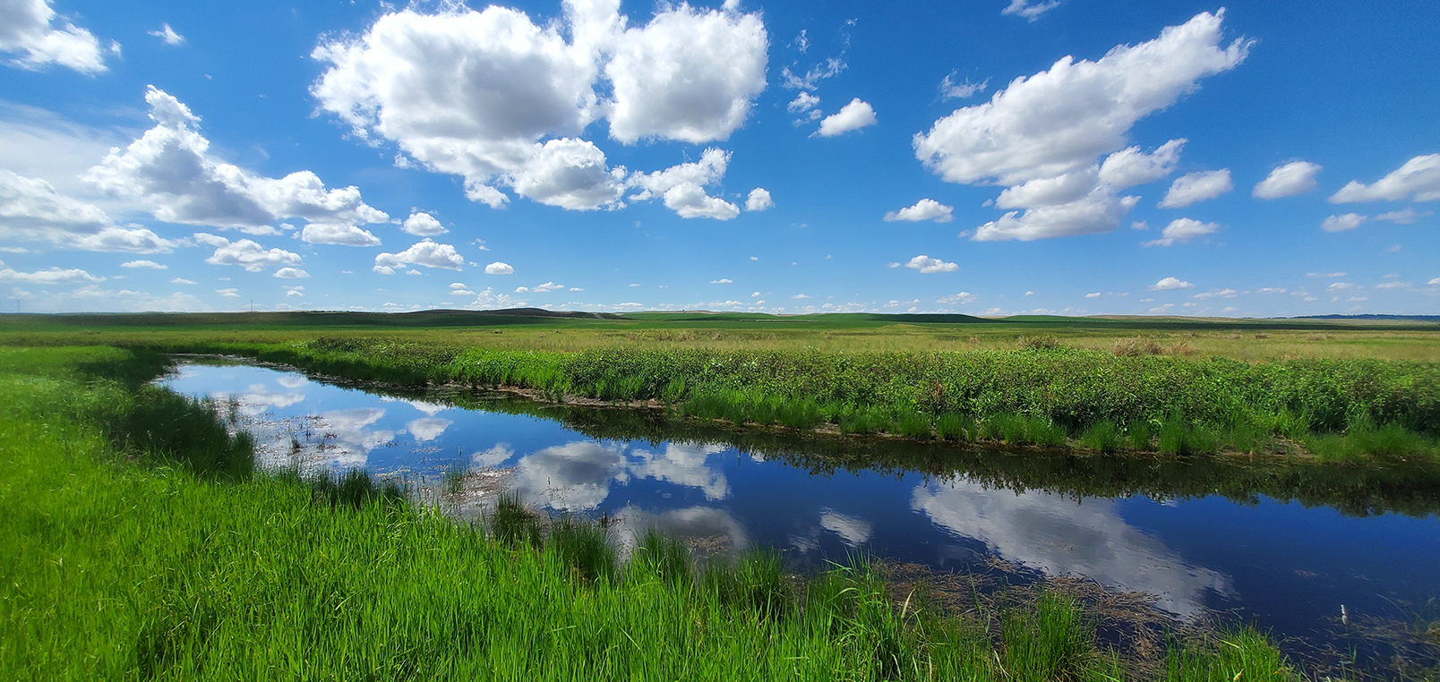 How did you end up working in wetlands?
That is 100% my dad's fault. Or maybe it was pre-determined for me because I wanted to be a frog when I grew up…but it's probably my dad's fault. He moonlighted as a wetland consultant and once my sister and I were old enough to be assets and not liabilities, he would drag us out with him on weekends and we would help dig soil pits, identify vegetation, and look for hydrology indicators. So, I started early (junior high, maybe?), and even though I had a bit of a convoluted path during college and grad school, I eventually found my way back to wetlands where I belong.
What advice do you have for someone interested in getting started in wetlands work?
Find someone who does what you think you want to do and talk to them. Shadow them or find an internship or volunteer opportunity to learn more about that type of work. Take a wide variety of classes in school if you can, but never stop learning: watch webinars, read journal articles, white papers, blog posts, or other published materials about the work you are interested in. Be flexible. Don’t be afraid to apply for a job that you don’t think you are qualified for based on the job description. If you have relevant experience, go for it and see what happens. If you don't enjoy your work, learn from it what you can and seek an opportunity that better suits your interests and/or skillset. Get to know people in the wetland world because they will share employment opportunities with you because sometimes it's just as much about who you know as it is about what you know.
How long have you been a member of NAWM? How have you participated in NAWM?
I have no idea how long I’ve been a NAWM member…since the mid-late 2010s sometime, I think. I’ve been a member of the Wetland Mapping Consortium steering committee since 2020, which was supposed to be the year I attended my first annual meeting. I had JUST bought my tickets when Covid shut everything down (of course); last year I finally made it to the meeting in Stevenson, WA. I hope to make in-person appearances at the annual meeting a regular occurrence.
What is your favorite benefit of being a member of NAWM?
The webinars, meetings, committees, and newsletters provide an opportunity to learn what other wetland practitioners are doing. I never thought I'd be a land manager, but here I am making decisions for our mitigation banks that have real impacts on the overall health of the systems, not to mention whether or not our credits are released for sale. It's a bit terrifying to be the one who makes the decisions, but the NAWM community is one of the best resources to learn what others who do the same kind of work as me are doing, and what has or has not worked for them. Having such a breadth of accessible knowledge from all over the country to draw from keeps me feeling hopeful about my own work because I know I can reach out to other members with questions or bounce ideas off of someone else. Plus, you can network like crazy (if you’re not a total introvert like me) at meetings!
Peter Ryan
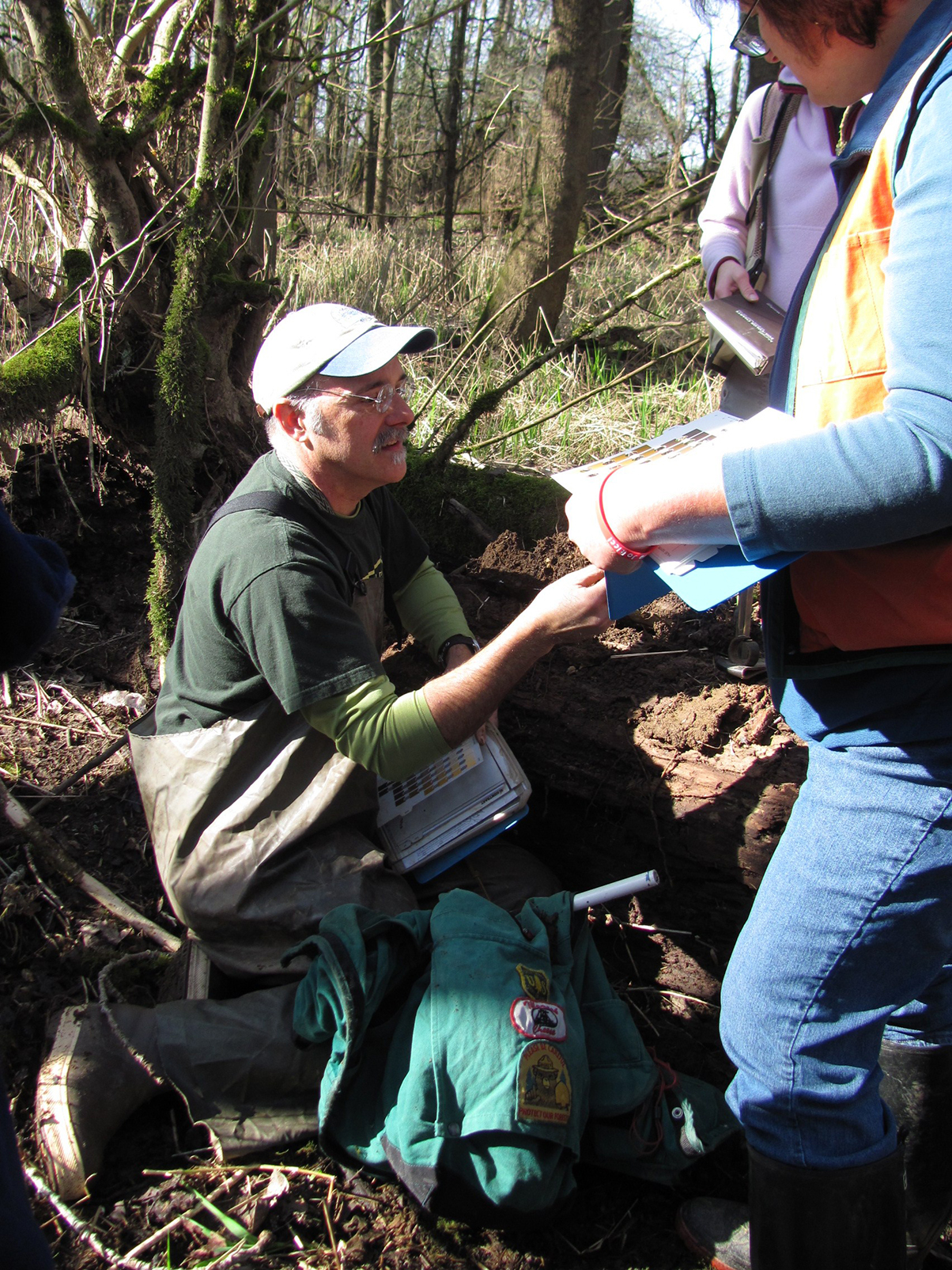 Peter Ryan, PWS Emeritus, recently retired from the Oregon Department of State Lands where he worked as the Department’s Wetland Ecology Specialist.
What was your favorite part of your job?
Working with the Department’s Wetland Ecology (WE) staff to respond accurately and quickly to wetland questions and determination requests from the public. The WE staff like helping folks!
What is one of your biggest professional accomplishments?
Serving as the Department’s Wetland Ecology Specialist for 6 years.
What is your favorite wetland, or type of wetland? Why?
This is a hard question in Oregon. We have so many great wetlands in the state. Brackish and freshwater marshes and tidal woodlands along the coast, wetland prairies and vernal pools in our inland valleys, poor fens and bogs in the mountains and coast, and large alkaline wetlands and playas on the east side of the state. But if I had to choose, I suppose it would be the all the wetland types in the Willamette Valley because that is where I grew up and first discovered my love of plants and how fun it is to delineate wetlands.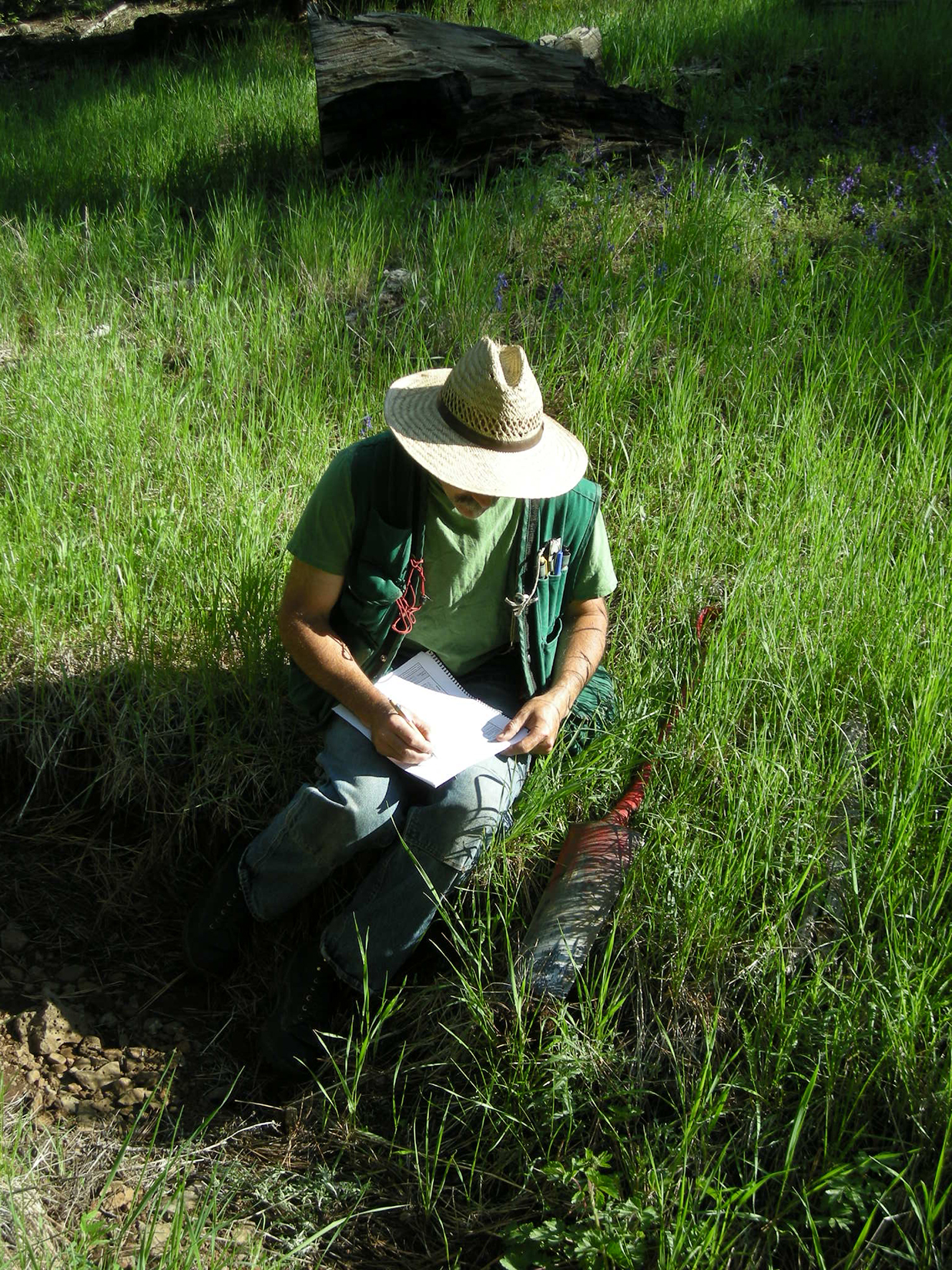 How did you end up working in wetlands?
As most, my path to wetland work was a winding one. It started by earning an undergraduate degree in Botany, graduate degree in Forest Science, serving as a forester with the Peace Corps, working five wonderful years with the US Forest Service followed by seven years as a natural resource consultant in forestry and wetlands, and ending with twenty years of service with the Oregon Department of State Lands’ Wetlands Program. My 18-year-old self had no idea what was going to come next
What advice do you have for someone interested in getting started in wetlands work?
Do what you love, and the rest will follow.
How long have you been a member of NAWM? How have you participated in NAWM?
The Department has always had staff that are active members in NAWM. The great information NAWM provides through webinars and meetings is routinely shared with all interested staff.
What is your favorite benefit of being a member of NAWM?
Hands down my favorite benefit has been access to NAWM’s excellent Members’ Webinar Series followed closely by NAWM’s “Wetland News” newsletter, both of which are great resources for keeping up with a rapidly developing science.
What is your favorite NAWM memory?
Having the Department’s Deputy Director for Operations, Bill Ryan, serve as a NAWM’s Board Member.
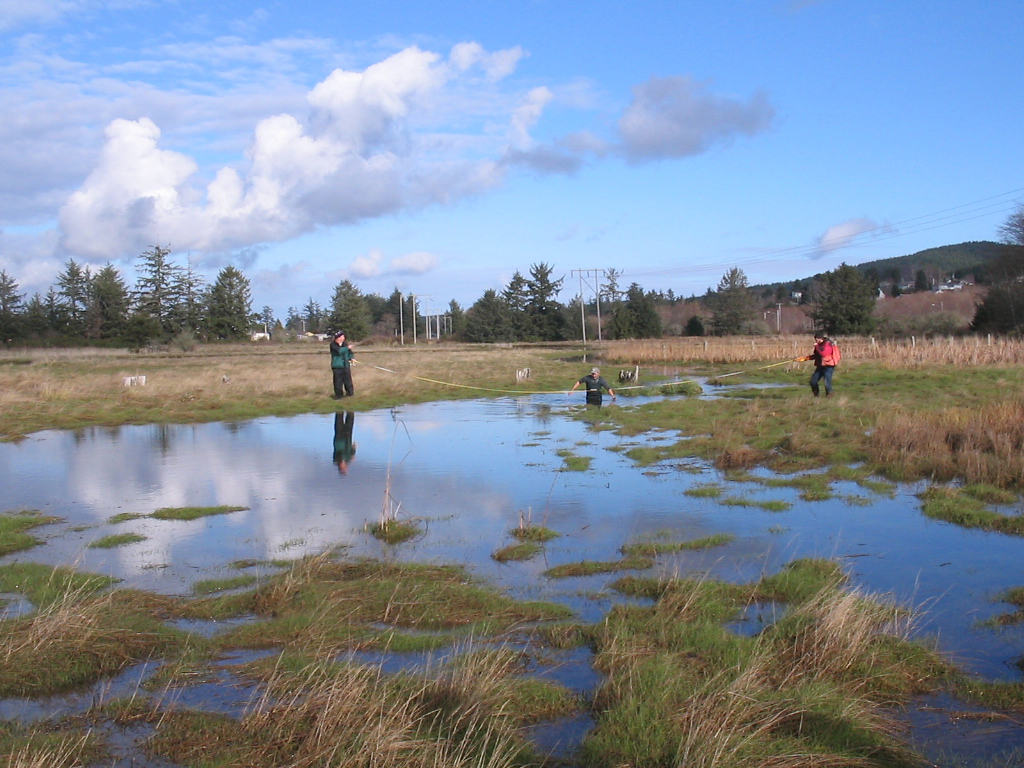
Thank you to Peter for sharing your experiences and being a part of NAWM! And congratulations on your retirement!
Marc Woernle What is your favorite part of your job? Working with like-minded Clients who want to do something creative with their property along the lines of preservation, enhancement, and creation/re-establishment. Starting my own business and working with an amazing Team! What is your favorite wetland type or wetland species? Why? I have many... but I love wet prairies within the Slash Pine / Longleaf Pine habitat of East Central Florida. Pinguicula (Butterworts), Sarracenia (Pitcher Plants), Polygala (Milkworts), and Hypericums (St. John's Worts) are among my favorites. How did you end up working in wetlands? A friend suggested I apply at a consulting firm in Central Florida 30 years ago. If you love the outdoors, you're not tied to a clock, and snakes, gators, mosquitos, heat, cold don't bother you... everything else will work itself out. How long have you been a member of NAWM? Off and on for many years. How have you participated in NAWM? Sponsored events and attended them on occasion. What is your favorite benefit of being a member of NAWM? We get to support a group of folks that look for ways to protect, enhance, educate others about wetlands of all types in many different ways. What is your favorite NAWM memory? Simply being a part of this journey with other like-minded individuals.
 Marc Woernle is Meristem's founder and Principal Ecologist.
What is one of your biggest professional accomplishments?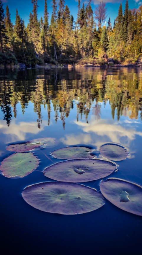
What advice do you have for someone interested in getting started in wetlands work?
Willow Weimer With over a decade at DEC, Weimer has served in roles ranging from compliance inspector to permit specialist. She holds a Bachelor of Science in an environmental field and brings a strong technical foundation to her work. Nationally, she is an active member of the National Association of Wetland Managers (NAWM), contributing Alaska’s perspective to wetland policy and conservation efforts. Through her leadership at DEC and involvement with NAWM, Weimer advances wetland and water resource protection in Alaska and beyond. What is your favorite part of your job? Working with the public to create understanding for the importance permitting. What is one of your biggest professional accomplishments? My transition from working in Alaska industry, oil and gas, mining field work to working as an environmental consultant then transitioning into government work in the Compliance and Enforcement Division of Water and eventually into the Wetland Permitting Section. Hard to choose just one thing but I feel like the journey has all led me to this. What is your favorite type of wetland? Why? Freshwater marshes because they are the storage, filter and the lifelines for so many plants and animals in my everyday life here in Alaska. I just love to see them thriving in the spring after brutal winters have passed. How did you end up working in wetlands? A friend suggested I apply at a consulting firm in Central Florida 30 years ago. Don’t be afraid to get out in the field and get your hands dirty! That’s where the magic happens. How long have you been a member of NAWM? Five years now I believe. What is your favorite benefit of being a member of NAWM? Seeing what's happening in the policy arena.
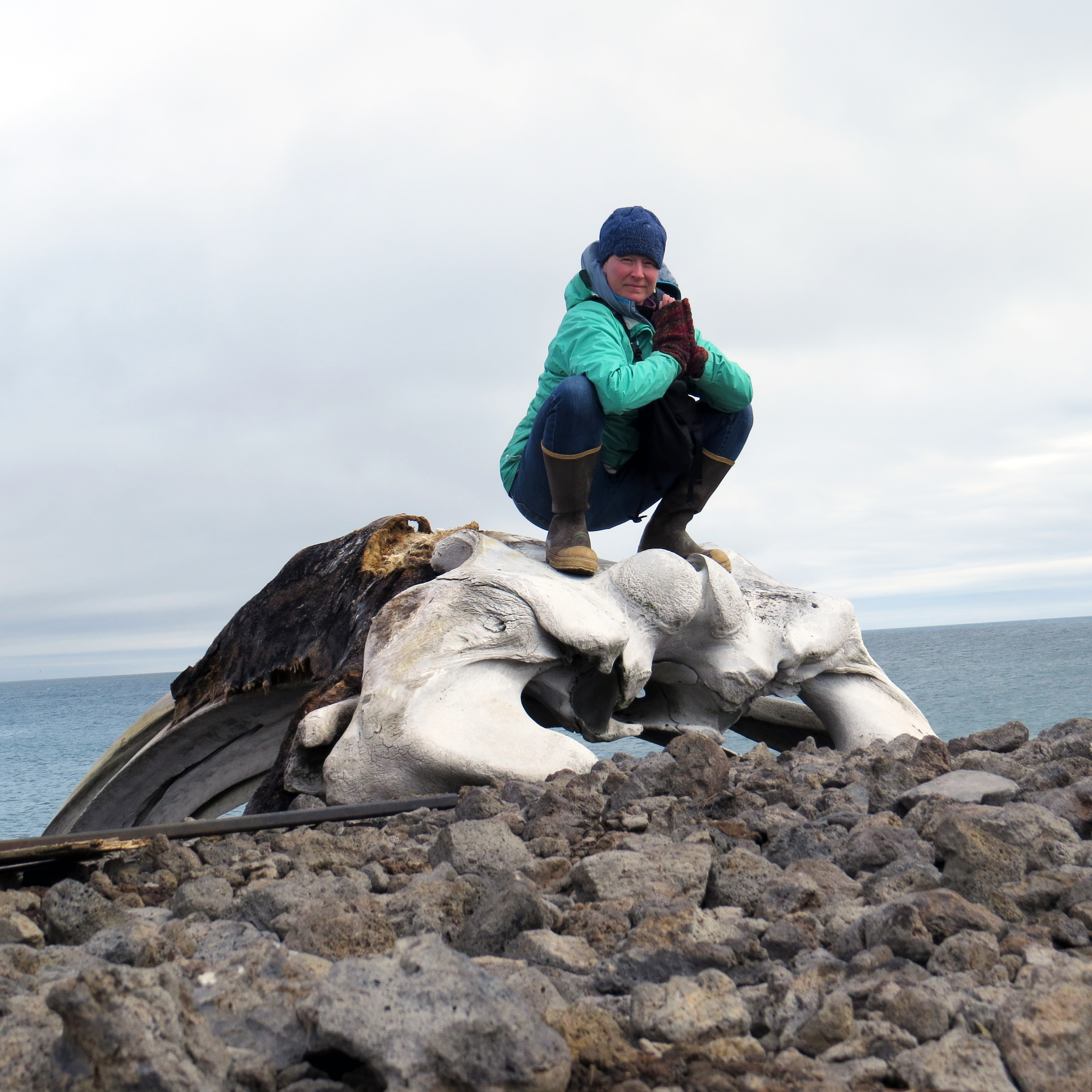 Willow Weimer is an Environmental Program Specialist with the Alaska Department of Environmental Conservation (DEC) Division of Water, where she leads wetlands regulation and water quality protection efforts. She oversees Clean Water Act §401 certifications and 404 permit reviews within DEC’s Wastewater Discharge Authorization Program, ensuring development projects meet state and federal standards. As a key contact for storm water and wastewater permitting, she guides best practices and helps permittees comply with Alaska’s rigorous environmental requirements.
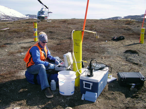
What advice do you have for someone interested in getting started in wetlands work?
Publications
 The Association conducts research and publishes reports, guidebooks, news articles, brochures, white papers, and summaries of findings of symposia and workshops. These are available electronically to all interested individuals and organizations.